Browse / Egypt / Minya / Daquf
Daquf
Minyavillage
Demographic figures from CAPMAS (Egypt). Overview below cites Wikipedia and may reference a different year.
City facts
Overview
Set in Minya, Egypt, Daquf is recorded in open geodata as a village. No reliable population estimate is published for this entry in the open data we rely on. Coordinates of 28.394°, 30.644° situate Daquf in the subtropical zone of the northern hemisphere. The latitude suggests hot summers and mild winters typical of the subtropics. Open solar datasets indicate about 2,247 kWh/m² of solar irradiance per year, combined with sunshine for roughly 88% of daylight hours. The sections below expand on demographics, weather, terrain, hazards and nearby points of interest using publicly available datasets.
Summary composed automatically from structured open data on this page. See our Terms for details.
History & geography
Geography
Coordinates & boundaries from the US Census TIGER/Line shapefiles.
Climate
Air quality
Walkability
Amenities nearby
Wildlife & biodiversity
Most-observed species
- African Green Bee-eaterMerops viridissimus Swainson, 1837 · Aves4
- Western SwamphenPorphyrio porphyrio (Linnaeus, 1758) · Aves3
- Pied KingfisherCeryle rudis (Linnaeus, 1758) · Aves3
- Black-crowned Night-HeronNycticorax nycticorax (Linnaeus, 1758) · Aves3
- Little Egret/Western Reef-HeronEgretta garzetta (Linnaeus, 1766) · Aves3
- Eurasian MoorhenGallinula chloropus (Linnaeus, 1758) · Aves3
- Spur-winged LapwingVanellus spinosus (Linnaeus, 1758) · Aves3
- Gray/Purple HeronArdea cinerea Linnaeus, 1758 · Aves3
Citizen-science & research observations from the Global Biodiversity Information Facility (GBIF).
Earthquake history
Events from the USGS Earthquake Catalog (global) (FDSN Event Web Service).
Photos
Sights & places nearby
Notable people from here
Nearby places in Minya
- Naj Muhammad Haridi52.2 mi away
- Lutsen6046.2 mi away
- Finland6076.9 mi away · pop. 257
- Silver Bay6084 mi away
- Babbitt6090.5 mi away · pop. 1,393
- Soudan6093.2 mi away
- Ranier6094.1 mi away
- International Falls6096.6 mi away · pop. 5,642
- Nett Lake6107.9 mi away · pop. 171
- Littlefork6110.6 mi away
- Angle Inlet6114.6 mi away
- Gilbert6115.9 mi away · pop. 1,697
Geography & sun
Elevation, sunrise/sunset and daylight from Open-Meteo. Solar climatology from NASA POWER.
Nearby airports
Public attention
Books about this place
Recent natural events nearby
Ground air-quality sensors
Recently spotted species
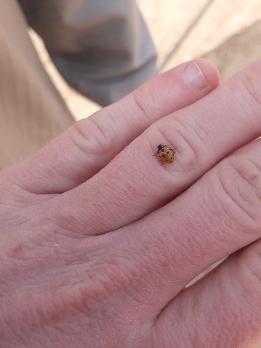
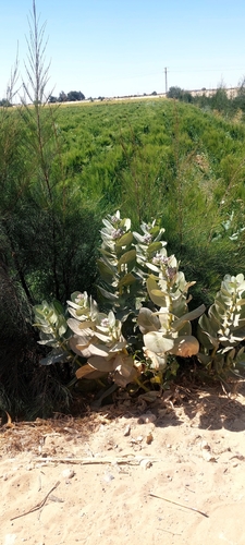
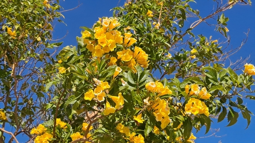
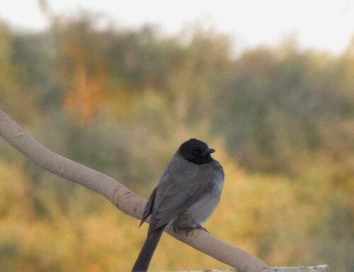
Research-grade observations from iNaturalist (within ~15 mi).
Events
Gallery
Sources
- • Wikidata
- • USGS Earthquake Catalog (global feed)
- • GBIF (Global Biodiversity Information Facility)
- • iNaturalist
- • Open-Meteo / sunrise-sunset.org