Giza
Gizacity

Giza
Total population
2,681,863
Demographic figures from CAPMAS (Egypt). Overview below cites Wikipedia and may reference a different year.
City facts
Sister cities
Facts from Wikidata (CC0).
Overview
Giza is the third-largest city in Egypt by area and population, and is also the eighteenth-largest city in Africa by population. It is the capital of Giza Governorate with a total population of 4,458,135 as of 2023. It is located on the west bank of the Nile opposite central Cairo, and is a part of the Greater Cairo metropolis. Giza lies less than 30 kilometres north of Memphis, which was the capital city of the unified Egyptian state during the reign of pharaoh Narmer, roughly 3100 BC.
Read more on WikipediaHistory & geography
History
The area in what is now Giza served as the necropolis of several pharaohs who ruled ancient Egypt during the second millennium BC. Three of these tombs, in the form of giant pyramids, are what is now the famed Giza pyramid complex, featuring the Great Pyramid of Giza, the Great Sphinx of Giza and the Grand Egyptian Museum. As ancient Egypt passed under several conquests under the Persians, Greeks, Romans and Byzantines, so did the area in what is now Giza. A Byzantine village named Phylake () or Terso (, meaning "the fortress", now Tersa) was located south of Giza and should not be confused with it. Egyptians called the area Tipersis (Bohairic and Sahidic ). Eutychius gives a legend about the city's name and its foundation by Artaxerxes Ochus or Hūš (), and Abu Salih says it was found by him at the same time as Qasr ash-Sham, but as older evidence is missing, it is perhaps most likely to have been founded during the Sasanian conquest of Egypt in the early 7th century. As Muslims of the fledgling Islamic caliphate went on with their conquest of Egypt from the Byzantine Empire beginning in 639 AD, three years after their victory at the battle of Yarmouk in 636 AD, they conquered all of the land by the time they captured the city of Alexandria in 641 AD. A year later in 642 AD (year 21 in Islamic calendar), they founded the city of Giza. The exact etymology of its name is unknown. Al-Maqrizi suggested an irregular Arameo-Arabic root meaning "edge, side" to be the source. Everett-Heath suggested "on the side of the height (pyramid)". Peust also suggests a Persian etymology of the word from , which Persians could have given to the pyramids or a fortress they found in the area.
Geography
Giza's most famous landform and archaeological site, the Giza Plateau, holds some major monuments of Egyptian history, and is home to the Great Sphinx. Once thriving with the Nile that flowed right into the Giza Plateau, the pyramids of Giza were built overlooking the ancient Egyptian capital city of Memphis, across the river from modern day Cairo. The Great Pyramid of Giza at one time was advocated (1884) as the location for the Prime Meridian, a reference point used for determining a base longitude. Giza experiences a hot desert like arid climate (Köppen: BWh). Its climate is similar to Cairo, owing to its proximity. Windstorms can be frequent across Egypt in spring, bringing Saharan dust into the city during the months of March and April. High temperatures in winter range from , while nighttime lows drop to below . In summer, the highs are , and the lows can drop to about . Rain is infrequent in Giza; snow is extremely rare. Up to August 2013, the highest recorded temperature was on 13 June 1965, while the lowest recorded temperature was on 8 January 1966.
Excerpted from the corresponding Wikipedia article (CC BY-SA).
Geography
Coordinates & boundaries from the US Census TIGER/Line shapefiles.
Climate
Air quality
Walkability
Amenities nearby
Wildlife & biodiversity
Earthquake history
Photos
Sights & places nearby
Notable people from here


People born within ~10 km, from Wikidata (CC0). Click any name for their Wikipedia article.
Nearby places in Giza
Geography & sun
Elevation, sunrise/sunset and daylight from Open-Meteo. Solar climatology from NASA POWER.
Nearby airports
Public attention
Pageview totals from the Wikimedia Pageviews API.
Books about Giza
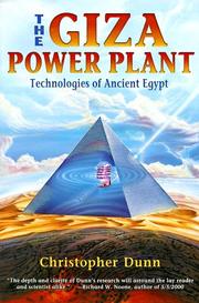


Search results from Open Library.
Recent natural events nearby
Ground air-quality sensors
Recently spotted species
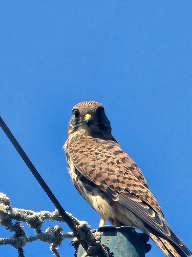
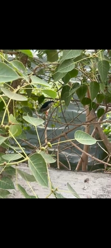
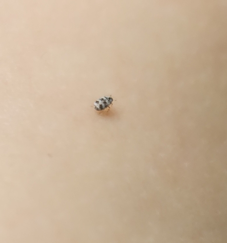
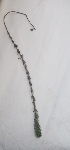
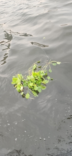
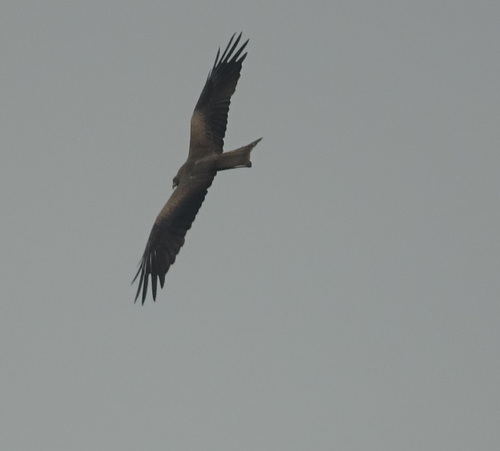
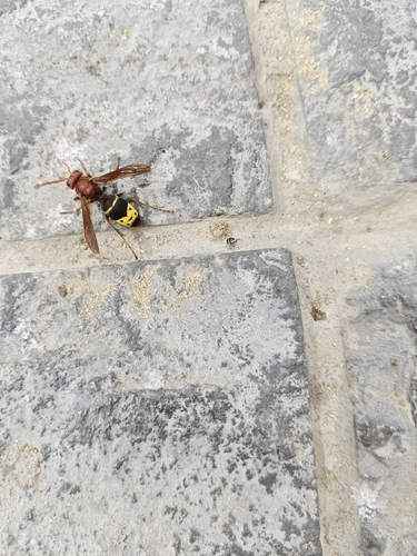
Research-grade observations from iNaturalist (within ~15 mi).
Events
Gallery
Sources
- • Wikipedia
- • Wikidata
- • iNaturalist
- • Open-Elevation
- • Open-Meteo / sunrise-sunset.org
- • Wikipedia Pageviews API
- • Open Library