Browse / Egypt / Giza / Tomouh
Tomouh
Gizavillage
No image yet
Elevation24 m
Coordinates29.94°, 31.26°
Demographic figures from CAPMAS (Egypt). Overview below cites Wikipedia and may reference a different year.
Loading additional data from public sources…0 / 11
CensusWikipediaWeatherPlacesPeopleEnvironmentHealth & SchoolsRelatedGeography & CultureLive MonitoringEvents & Gallery
0% completeCity facts
Elevation
24 m
Facts from Wikidata (CC0).
Overview
Tummwah is a village in the Giza Governorate in Egypt. Also spelled as "Tamwah", it is a Coptic old name that the village is keeping from the Old Egyptian name.
Read more on WikipediaHistory & geography
Geography
Latitude
29.9359
Longitude
31.2642
Water area
—
Coordinates & boundaries from the US Census TIGER/Line shapefiles.
Climate
Air quality
Walkability
Amenities nearby
Wildlife & biodiversity
Earthquake history
Photos
Sights & places nearby
Notable people from here

Ayman al-Zawahiri
al-Qaeda terrorist leader (1951–2022), Muslim jurist and theologian (Sunni), surgeon

El Sheikh Emam
Egyptian singer and composer (1918–1995)
G
Gerald Messadié
French journalist and author (1931-2018)

Evelien van Dort
Dutch writer
T
Thabet El-Batal
Egyptian association football player (1953–2005)
A
Alaa Mayhoub
Egyptian footballer
A
Ahmed El Merghany
Egyptian footballer

Ahmed Ezz
Egyptian actor

Taha Ismail
Egyptian footballer and coach
I
Ibrāhīm Madkūr
Egyptian politician

Injy El Mokkaddem
Egyptian actress

Khaled Saleh
Egyptian actor (1964–2014)
F
Fathy Abdel Wahab
Egyptian actor

Dina El Sherbiny
Egyptian actress
M
Mohamed Kamal
Egyptian journalist and teacher
M
Mirna El Mahdy
Egyptian novelist
People born within ~10 km, from Wikidata (CC0). Click any name for their Wikipedia article.
Nearby places in Giza
Geography & sun
Avg solar (kWh/m²/day)
6.08
Annual solar (kWh/m²)
2,218
Elevation, sunrise/sunset and daylight from Open-Meteo. Solar climatology from NASA POWER.
Nearby airports
Public attention
Wikipedia views (last 30 days)
24
Avg daily Wikipedia views
1
Attention level
Obscure
Pageview totals from the Wikimedia Pageviews API.
Books about this place
Recent natural events nearby
Ground air-quality sensors
Recently spotted species
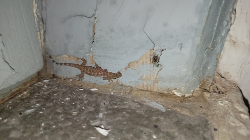
Mediterranean House Gecko
Hemidactylus turcicus
Seen 2026-09-24
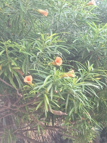
Be-still tree
Cascabela thevetia
Seen 2026-09-23
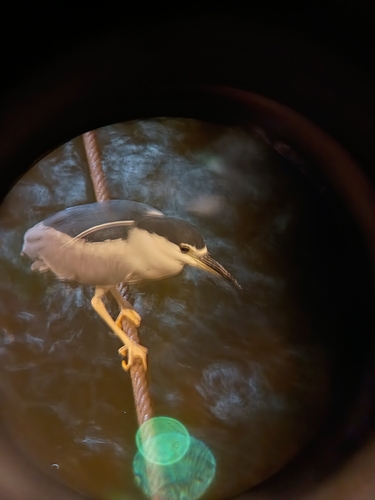
Black-crowned Night Heron
Nycticorax nycticorax
Seen 2026-09-22
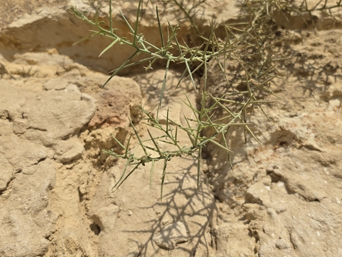
Camel's Thorn
Alhagi graecorum
Seen 2026-09-21
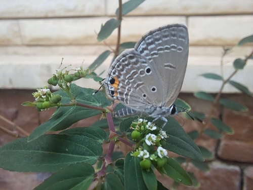
Plains Cupid
Luthrodes pandava
Seen 2026-09-21
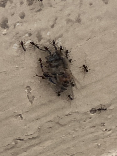
Western Honey Bee
Apis mellifera
Seen 2026-09-21
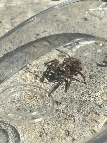
Pantropical Jumping Spider
Plexippus paykulli
Seen 2026-09-19
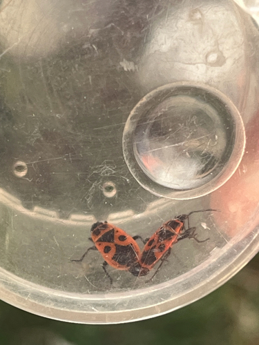
European Firebug
Pyrrhocoris apterus
Seen 2026-09-19
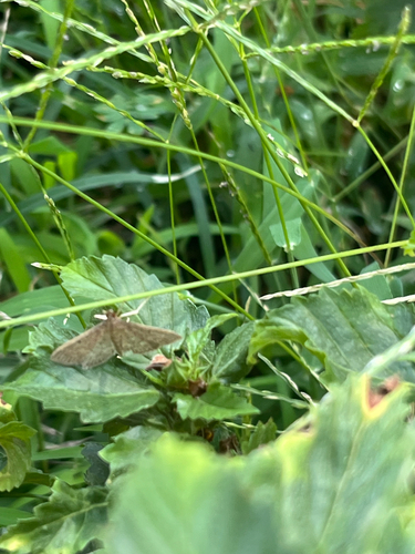
Grass Webworm Moth
Herpetogramma licarsisalis
Seen 2026-09-19
Research-grade observations from iNaturalist (within ~15 mi).
Events
Gallery
Sources
- • Wikipedia
- • Wikidata
- • iNaturalist
- • Open-Meteo / sunrise-sunset.org
- • Wikipedia Pageviews API