Browse / Spain / Murcia / Águilas
Águilas
Murciatown

Águilas
Total population
34,142
Demographic figures from INE (Spain). Overview below cites Wikipedia and may reference a different year.
City facts
Facts from Wikidata (CC0).
Overview
Águilas is a municipality and seaport of southeastern Spain, in the province of Murcia. It is situated at the southern end of Murcia's Mediterranean coastline, otherwise known as the Costa Cálida, near the border with the Province of Almería.
Read more on WikipediaHistory & geography
History
Possibly known in Roman times as Aquilae and later Aquila, Águilas belonged to the community of Bastetania and the province of Hispania Tarraconensis. With little to no local Iberian presence, the Roman town was founded during the Augustan period on the same isthmus where the city lies today. Several structures from the Imperial period, notably two Roman baths, have been discovered in Águilas. In the Late Roman period, the city specialised in the production of amphorae, probably for the transport of fish sauces. During this period, in the 5th century, an impressive construction project began on Isla del Fraile, where a considerable number of rooms for the production of fish sauces have been found. Various communities settled in Águilas, including the Alans, the Suebi, and the Visigoths. It formed part of the Eastern Roman Empire's Spania until the Arabs conquered the Iberian Peninsula. It was known to the Arabs as آقِلَة (Áqila). It belonged to the Córdoban caliphate and the Kingdom of Valencia, later coming under Almoravidan control, finally ending up definitively included in the Kingdom of Murcia in the 18th century. During the second half of the 19th century, a vast British colony arrived in Aguilas, an important presence that still lingers. Many of the buildings and much of the infrastructure built by the British still stand, such as the British cemetery, the municipal annex, the Hornillo Pier facing the Isle of Fraile, and the old home of an English merchant located on that island. The minuscule island of Fraile, off the coast, was owned by the Scottish banker John Gray, who sold it in 1910 to the British Army Lieutenant Colonel Alexander Borthwick, who in turn transferred ownership to his son Hugh, with the overt aim of exploiting its quarry. The town as it…
Excerpted from the corresponding Wikipedia article (CC BY-SA).
Geography
Coordinates & boundaries from the US Census TIGER/Line shapefiles.
Climate
Air quality
Walkability
Amenities nearby
Wildlife & biodiversity
Most-observed species
- Yellow-legged GullLarus michahellis J.F.Naumann, 1840 · Aves1,234
- House SparrowPasser domesticus (Linnaeus, 1758) · Aves1,028
- Sardinian WarblerCurruca melanocephala (J.F.Gmelin, 1789) · Aves970
- Thekla's LarkGalerida theklae A.E.Brehm, 1857 · Aves832
- Audouin's GullIchthyaetus audouinii (Payraudeau, 1826) · Aves654
- Black WheatearOenanthe leucura (Gmelin, 1789) · Aves627
- European SerinSerinus serinus (Linnaeus, 1766) · Aves544
- Kentish PloverCharadrius alexandrinus Linnaeus, 1758 · Aves508
Citizen-science & research observations from the Global Biodiversity Information Facility (GBIF).
Earthquake history
Photos
Sights & places nearby
Notable people from here
Nearby places in Murcia
- Puerto Lumbreras16.4 mi away · pop. 14,431
- Lorca19.2 mi away
- Mazarrón19.5 mi away · pop. 13,618
- Totana25.2 mi away · pop. 28,697
- Aledo26.6 mi away · pop. 886
- Fuente Álamo31.1 mi away · pop. 9,803
- Alhama de Murcia31.7 mi away · pop. 20,401
- Librilla35.1 mi away · pop. 5,281
- Cartagena35.5 mi away · pop. 218,244
- Pliego40.2 mi away · pop. 3,728
- La Unión41.1 mi away · pop. 18,422
- Torre-Pacheco41.3 mi away · pop. 19,970
Geography & sun
Elevation, sunrise/sunset and daylight from Open-Meteo. Solar climatology from NASA POWER.
Nearby airports
Public attention
Pageview totals from the Wikimedia Pageviews API.
Books about Águilas

Search results from Open Library.
Recent natural events nearby
Ground air-quality sensors
Recently spotted species
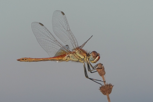
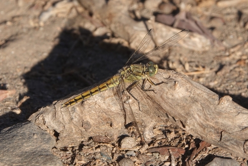
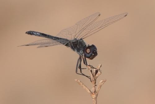
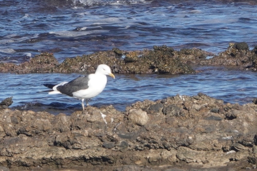
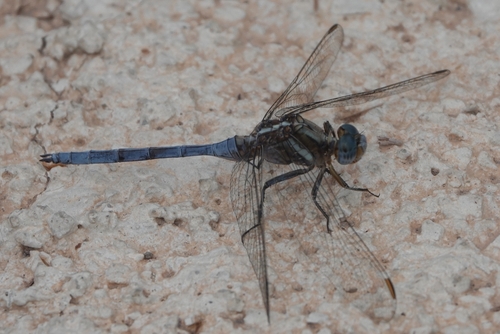
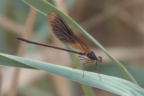
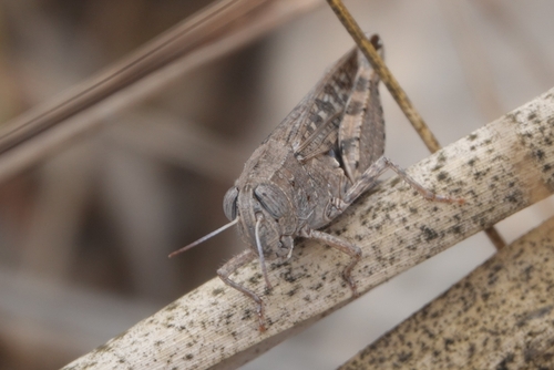
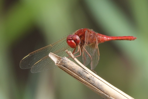
Research-grade observations from iNaturalist (within ~15 mi).
Events
Gallery
Geotagged photos within ~6 miles of Águilas, from Wikimedia Commons contributors.
 0.2 mi
 0.2 mi
 0.3 mi
 0.3 mi
 0.3 mi
 0.3 mi
 0.3 mi
 0.3 mi
 0.3 mi
 0.3 mi
_S._molle-fruct-2.jpg) 0.3 mi
0.3 mi_S._molle-fruct-1.jpg) 0.3 mi
0.3 mi 0.3 mi
 0.4 mi
 0.4 mi
 0.4 mi
.jpg) 0.4 mi
0.4 mi 0.4 mi
 0.4 mi
 0.4 mi
 0.4 mi
 0.4 mi
 0.4 mi
 0.4 mi
Photos via Wikimedia Commons — see each image page for license & attribution.
Sources
- • Wikipedia
- • Wikimedia Commons
- • Wikidata
- • GBIF (Global Biodiversity Information Facility)
- • iNaturalist
- • Open-Meteo / sunrise-sunset.org
- • Wikipedia Pageviews API
- • Open Library