Browse / Spain / Murcia / Alhama de Murcia
Alhama de Murcia
Murciatown

Alhama de Murcia
Total population
20,401
Demographic figures from INE (Spain). Overview below cites Wikipedia and may reference a different year.
City facts
Facts from Wikidata (CC0).
Overview
Alhama de Murcia is a Spanish municipality in the autonomous community of the Region of Murcia. It is located in the north of the southern half of the region. The municipality shares borders with Librilla in its north, Murcia in its northeast, Fuente Álamo de Murcia in its east, Mazarrón in its south, Totana in its west and Mula in its northwest.
Read more on WikipediaHistory & geography
History
A defensive construction of the late Bronze Age has been found in the north of the municipality. During the Roman Iberian Peninsula era, there was also presence of people in the current municipality and in the current town. The most remarkable remain of that era is the Roman thermal baths. There is also evidence of the presence of people in the Muslim Iberian Peninsula era. The most remarkable construction is the Castle of Alhama, but there are other remains. The Battle of Faḥṣ al-Jullāb between the Almohad Caliphate and the Taifa of Murcia was fought here on 15 October 1165.
Geography
The west of Sierra de Carrascoy mountain range occupies part of the east of Alhama de Murcia. Guadalentín River traverses the municipality from its south-west to its north-east. The territory is especially raised in the north-west, where some raised landforms occur and the south-eastern foot of Sierra Espuña mountain range occurs, and even the north-west end of Alhama de Murcia occupies the mountain range itself. The inhabitants of the municipality are distributed in the following localities: Alhama de Murcia, which is located in the south-east of the north-west and is inhabited by 19,265 people; Las Cañadas, which is placed in the north-east and is populated by 903 people; La Costera, which occurs in the north-west and is home to 310 people; El Cañarico, which is located in the north-east end and is inhabited by 154 people; El Berro, which is placed in the north-west and its population consists of 140 and El Gebas, that is home to 24 people and occurs in the north-west.
Excerpted from the corresponding Wikipedia article (CC BY-SA).
Geography
Coordinates & boundaries from the US Census TIGER/Line shapefiles.
Climate
Air quality
Walkability
Amenities nearby
Wildlife & biodiversity
Earthquake history
Photos
Sights & places nearby
Notable people from here
Nearby places in Murcia
- Librilla4.5 mi away · pop. 5,281
- Totana7.1 mi away · pop. 28,697
- Aledo9 mi away · pop. 886
- Pliego10.4 mi away · pop. 3,728
- Albudeite12.4 mi away · pop. 501
- Campos del Río13.6 mi away · pop. 1,921
- Mula13.6 mi away · pop. 15,397
- Alcantarilla14 mi away · pop. 43,147
- Las Torres de Cotillas15.9 mi away · pop. 16,926
- Fuente Álamo16.4 mi away · pop. 9,803
- Alguazas17.1 mi away · pop. 9,255
- Ceutí17.7 mi away · pop. 12,155
Geography & sun
Nearby airports
Public attention
Books about this place
Recent natural events nearby
Ground air-quality sensors
Recently spotted species
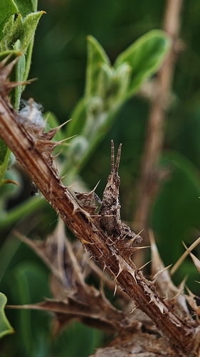
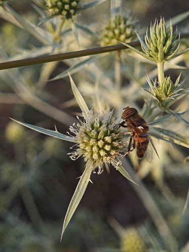
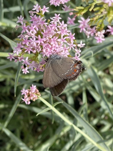
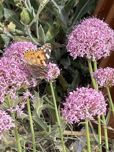
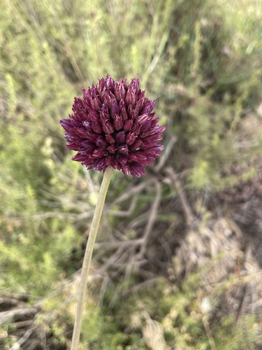
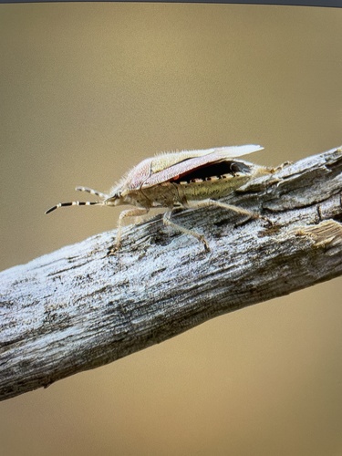
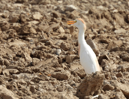
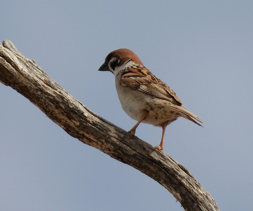
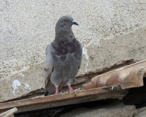
Research-grade observations from iNaturalist (within ~15 mi).
Events
Gallery
Sources
- • Wikipedia
- • Wikidata
- • iNaturalist