Browse / Spain / Extremadura / Ceclavín
Ceclavín
Extremaduravillage

Featured view
Ceclavín
Total population
1,752
Elevation322 m
Land area159 km²
Coordinates39.82°, -6.77°
Demographic figures from INE (Spain). Overview below cites Wikipedia and may reference a different year.
Loading additional data from public sources…0 / 11
CensusWikipediaWeatherPlacesPeopleEnvironmentHealth & SchoolsRelatedGeography & CultureLive MonitoringEvents & Gallery
0% completeCity facts
Facts from Wikidata (CC0).
Overview
Ceclavín is a municipality located in the province of Cáceres, Extremadura, Spain. According to the 2005 census (INE), the municipality has a population of 2115 inhabitants.
Read more on WikipediaHistory & geography
Geography
Latitude
39.8224
Longitude
-6.7734
Water area
—
Coordinates & boundaries from the US Census TIGER/Line shapefiles.
Climate
Air quality
Walkability
Amenities nearby
Wildlife & biodiversity
Earthquake history
Photos
Sights & places nearby
Notable people from here
Nearby places in Extremadura
- Zarza la Mayor5.9 mi away · pop. 1,098
- Mata de Alcántara7.6 mi away · pop. 302
- Acehúche7.6 mi away · pop. 804
- Piedras Albas8.5 mi away · pop. 124
- Cachorrilla8.5 mi away · pop. 77
- Alcántara9.3 mi away · pop. 1,267
- Pescueza9.4 mi away · pop. 147
- Villa del Rey11.5 mi away · pop. 115
- Casillas de Coria12.3 mi away · pop. 352
- Portaje13 mi away · pop. 367
- Garrovillas de Alconétar14.1 mi away · pop. 1,923
- Brozas14.6 mi away · pop. 1,699
Geography & sun
Avg solar (kWh/m²/day)
4.87
Annual solar (kWh/m²)
1,778
Elevation, sunrise/sunset and daylight from Open-Meteo. Solar climatology from NASA POWER.
Nearby airports
Public attention
Wikipedia views (last 30 days)
40
Avg daily Wikipedia views
1
Attention level
Obscure
Pageview totals from the Wikimedia Pageviews API.
Books about Ceclavín
Search results from Open Library.
Recent natural events nearby
Ground air-quality sensors
Recently spotted species
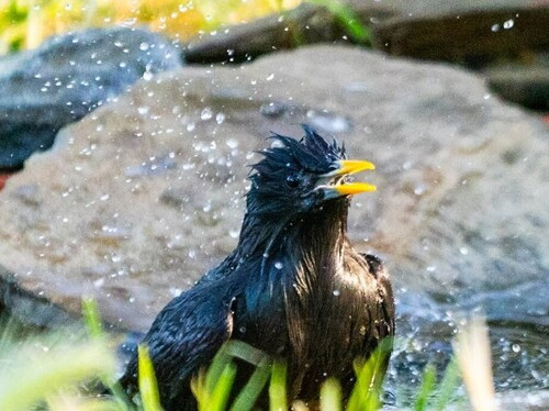
Spotless Starling
Sturnus unicolor
Seen 2026-08-26
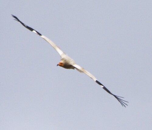
Egyptian Vulture
Neophron percnopterus
Seen 2026-08-26
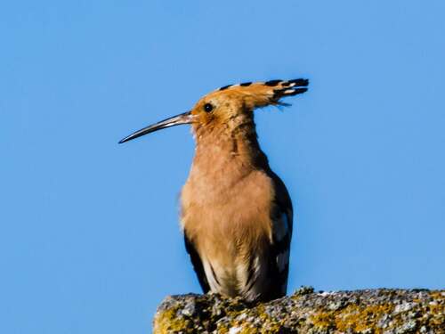
Common Hoopoe
Upupa epops
Seen 2026-08-26
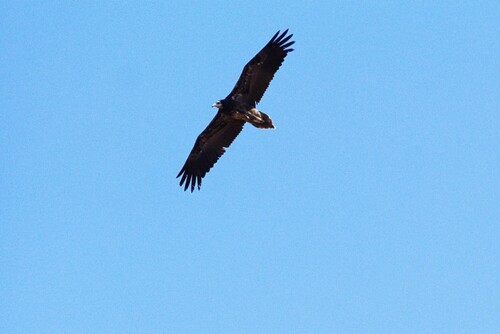
Western Egyptian Vulture
Neophron percnopterus percnopterus
Seen 2026-08-25
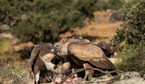
Eurasian Griffon
Gyps fulvus
Seen 2026-08-23
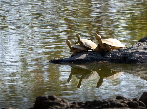
Mediterranean Turtle
Mauremys leprosa
Seen 2026-08-21
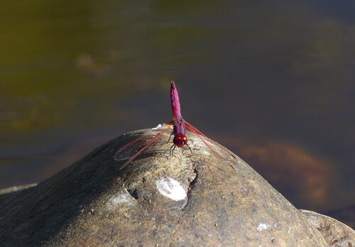
Violet Dropwing
Trithemis annulata
Seen 2026-08-21
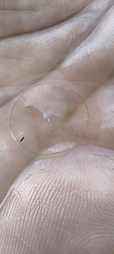
Common Freshwater Jellyfish
Craspedacusta sowerbii
Seen 2026-07-30
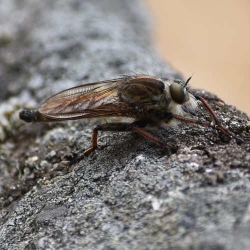
Machimus chrysitis
Machimus chrysitis
Seen 2026-06-26
Research-grade observations from iNaturalist (within ~15 mi).
Events
Gallery
Sources
- • Wikipedia
- • Wikidata
- • iNaturalist
- • Open-Meteo / sunrise-sunset.org
- • Wikipedia Pageviews API
- • Open Library