Browse / Spain / Extremadura / Zarza la Mayor
Zarza la Mayor
Extremaduravillage

Zarza la Mayor
Total population
1,098
Demographic figures from INE (Spain). Overview below cites Wikipedia and may reference a different year.
City facts
Facts from Wikidata (CC0).
Overview
Zarza la Mayor is a municipality located in the province of Cáceres, Extremadura, Spain. According to the 2018 census (INE), the municipality has a population of 1,258 inhabitants. This is the most occidental municipality in "Las Vegas de Alagón" region. It is the only municipality in the region that borders with Portugal.
Read more on WikipediaHistory & geography
Geography
It is located 4 km in a straight line to Salvaterra do Extremo. The EX-117 road from Moraleja to Alcantara pass through Zarza la Mayor. This municipality was especially important during Iberic Peninsula Moorish invasion. It can be seen today due to the strongholds present like Racha-Rachel (or Peñafiel, as it was called later by Christians) and Bernardo Castle (Castillo de Bernardo). After the Spanish 'reconquista', due that the conquested areas were left with no population to take care of the land, the military order of Alcantara created an 'Encomienda' (or to assign an area to landlords to take care of it) called 'Encomienda de Peñafiel y la Çarça'. It was appointed as a Villa in 1356. During the 16th century the villa had a golden age that stopped suddenly when Portuguese Restoration War started. The inhabitants of Zarza la Mayor were exiled by the Portuguese troops between 1665 and 1668. People returned between 1705 and 1713 during the War of the Spanish Succession. Due to its complex history, Zarza la Mayor is a place were a number of monuments can be seen as San Andrés Apóstol church that was declared Conjunto histórico in 1982, and other chapels and castles.
Excerpted from the corresponding Wikipedia article (CC BY-SA).
Geography
Coordinates & boundaries from the US Census TIGER/Line shapefiles.
Climate
Air quality
Walkability
Amenities nearby
Wildlife & biodiversity
Earthquake history
Photos
Sights & places nearby
Notable people from here


People born within ~10 km, from Wikidata (CC0). Click any name for their Wikipedia article.
Nearby places in Extremadura
- Ceclavín5.9 mi away · pop. 1,752
- Piedras Albas7.2 mi away · pop. 124
- Cachorrilla10.6 mi away · pop. 77
- Alcántara10.8 mi away · pop. 1,267
- Mata de Alcántara11.2 mi away · pop. 302
- Pescueza11.8 mi away · pop. 147
- Acehúche13.1 mi away · pop. 804
- Casillas de Coria13.5 mi away · pop. 352
- Vegaviana13.7 mi away · pop. 784
- Villa del Rey15.1 mi away · pop. 115
- Portaje16.1 mi away · pop. 367
- Casas de Don Gómez16.6 mi away · pop. 314
Geography & sun
Elevation, sunrise/sunset and daylight from Open-Meteo. Solar climatology from NASA POWER.
Nearby airports
Public attention
Pageview totals from the Wikimedia Pageviews API.
Books about this place
Recent natural events nearby
Ground air-quality sensors
Recently spotted species
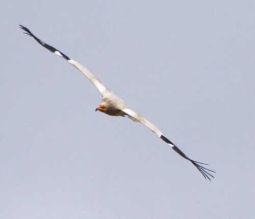
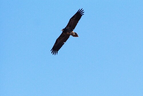
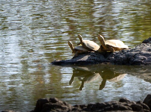
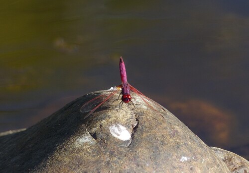
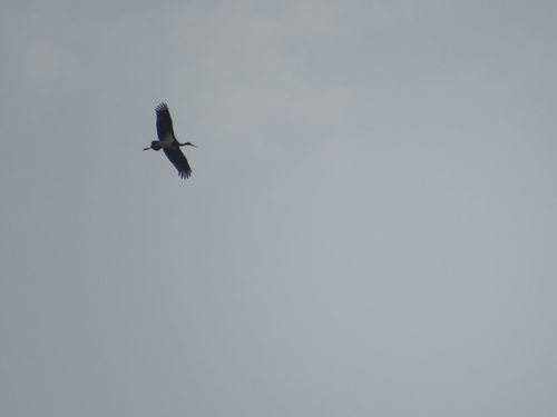
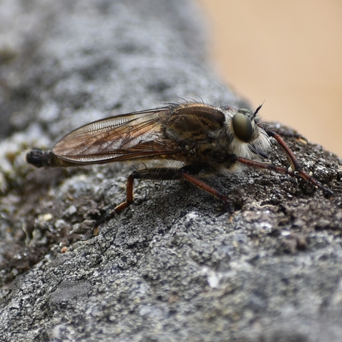
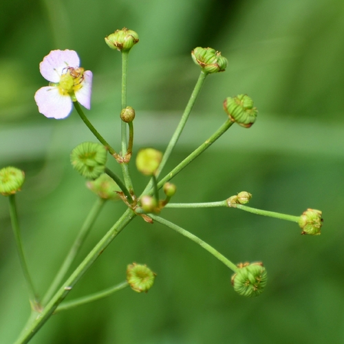
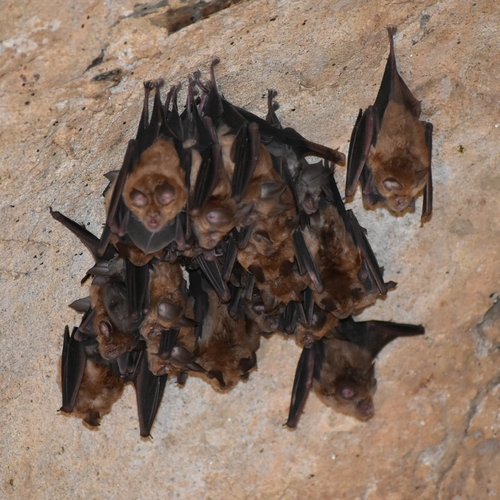
Research-grade observations from iNaturalist (within ~15 mi).
Events
Gallery
Sources
- • Wikipedia
- • Wikidata
- • iNaturalist
- • Open-Meteo / sunrise-sunset.org
- • Wikipedia Pageviews API