Browse / Spain / Canary Islands / El Portezuelo Alto
El Portezuelo Alto
Canary Islandsvillage
Total population
1,110
Air quality index
Demographic figures from INE (Spain). Overview below cites Wikipedia and may reference a different year.
City facts
Overview
El Portezuelo Alto is a small village in Canary Islands, Spain. Coordinates of 28.491°, -16.355° situate El Portezuelo Alto in the subtropical zone of the northern hemisphere. The population stands at approximately 1,110. Based on its subtropical position, residents likely encounter hot summers and mild winters typical of the subtropics. Solar-resource estimates put the area at about 1,904 kWh/m² of solar irradiance per year with sunshine for roughly 75% of daylight hours. Additional figures on demographics, climate, geography and points of interest appear in the sections that follow, all drawn from open public datasets.
Summary composed automatically from structured open data on this page. See our Terms for details.
History & geography
Geography
Coordinates & boundaries from the US Census TIGER/Line shapefiles.
Climate
Air quality
Current readings from Open-Meteo Air Quality API (Copernicus CAMS European reanalysis).
Walkability
Amenities nearby
Wildlife & biodiversity
Most-observed species
- Canary Islands ChiffchaffPhylloscopus canariensis (Hartwig, 1886) · Aves3,481
- Eurasian BlackbirdTurdus merula Linnaeus, 1758 · Aves3,145
- Island CanarySerinus canaria (Linnaeus, 1758) · Aves3,005
- African Blue TitCyanistes teneriffae (Lesson, 1831) · Aves2,268
- Eurasian KestrelFalco tinnunculus Linnaeus, 1758 · Aves2,250
- Rock PigeonColumba livia J.F.Gmelin, 1789 · Aves2,214
- Gallot's lizardGallotia galloti (Oudart, 1839) · Squamata1,919
- Eurasian Collared-DoveStreptopelia decaocto (Frivaldszky, 1838) · Aves1,845
Citizen-science & research observations from the Global Biodiversity Information Facility (GBIF).
Earthquake history
Most recent
- M 4.4 — 2019-01-1833 km NW of Agaete, Spain
- M 3.5 — 2008-05-1323 km E of Santa Cruz de Tenerife, Spain
- M 2.8 — 2008-01-155 km ESE of Fasnia, Spain
- M 2.7 — 2008-01-0728 km SE of Fasnia, Spain
- M 3 — 2007-12-2729 km ESE of Fasnia, Spain
- M 2.7 — 2007-11-0724 km ESE of Fasnia, Spain
Events from the USGS Earthquake Catalog (global) (FDSN Event Web Service).
Photos
Sights & places nearby
Notable people from here


People born within ~10 km, from Wikidata (CC0). Click any name for their Wikipedia article.
Nearby places in Canary Islands
- El Ortigal1.5 mi away · pop. 2,006
- Tegueste2.4 mi away · pop. 3,185
- Barranco de las Lajas2.4 mi away · pop. 1,886
- San Cristóbal de La Laguna2.4 mi away · pop. 31,660
- La Esperanza2.8 mi away · pop. 3,486
- Tejina2.9 mi away · pop. 8,636
- Valle de Guerra3.1 mi away · pop. 6,013
- El Cantillo3.1 mi away · pop. 1,061
- Tagoro3.5 mi away · pop. 965
- Agua García3.6 mi away · pop. 2,693
- Las Rosas3.7 mi away · pop. 1,043
- Tacoronte3.7 mi away · pop. 4,099
Geography & sun
Elevation, sunrise/sunset and daylight from Open-Meteo. Solar climatology from NASA POWER.
Nearby airports
Public attention
Books about this place
Recent natural events nearby
Ground air-quality sensors
Recently spotted species
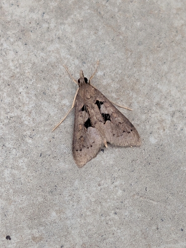
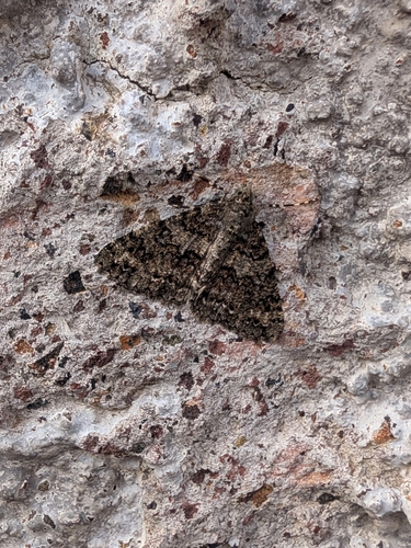
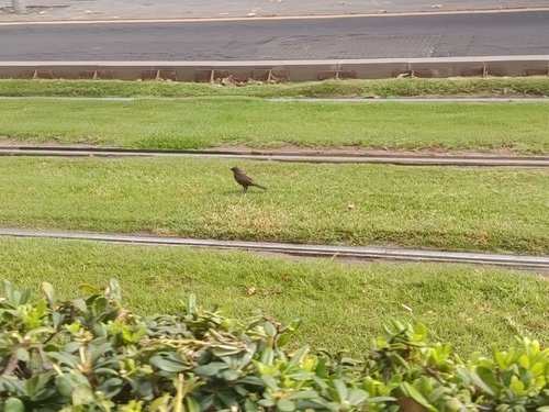
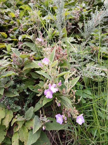
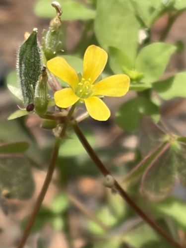
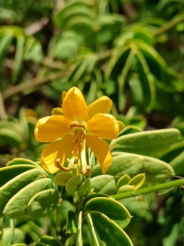
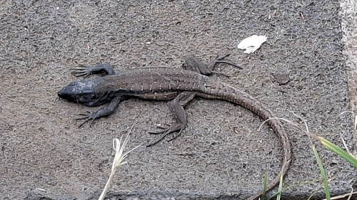
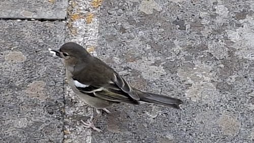
Research-grade observations from iNaturalist (within ~15 mi).
Events
Gallery
Geotagged photos within ~6 miles of El Portezuelo Alto, from Wikimedia Commons contributors.
.jpg) 0.2 mi
0.2 mi.jpg) 0.2 mi
0.2 mi.jpg) 0.2 mi
0.2 mi.jpg) 0.2 mi
0.2 mi.jpg) 0.2 mi
0.2 mi 0.3 mi
 0.3 mi
 0.3 mi
 0.4 mi
 0.4 mi
 0.4 mi
 0.5 mi
 0.5 mi
 0.5 mi
 0.5 mi
 0.5 mi
 0.5 mi
 0.5 mi
 0.5 mi
 0.5 mi
 0.5 mi
 0.6 mi
 0.6 mi
 0.6 mi
Photos via Wikimedia Commons — see each image page for license & attribution.
Sources
- • Wikimedia Commons
- • Wikidata
- • Open-Meteo Air Quality (CAMS)
- • USGS Earthquake Catalog (global feed)
- • GBIF (Global Biodiversity Information Facility)
- • iNaturalist
- • Open-Meteo / sunrise-sunset.org