Browse / Ethiopia / Oromia / Bishoftu
Bishoftu
Oromiatown

Bishoftu
Demographic figures from Ethiopian Statistical Service. Overview below cites Wikipedia and may reference a different year.
City facts
Facts from Wikidata (CC0).
Overview
Bishoftu is a city in central Ethiopia. Located in central Oromia Region, it sits at an elevation of 1,920 metres (6,300 ft).(It is a name derived from the Bible and refers to a location east of Jerusalem's Old City separated by the Kidron Valley). The city serves as the primary airbase of the Ethiopian Air Force.
Read more on WikipediaHistory & geography
History
Bishoftu, as a definite entity, did not come into existence until after the Second World War. Accounts of earlier travelers call the region "Adda", although one Swedish memoir from 1935 mentions a village named "Bishoftu". At about from Adda, on land that had been owned partly by Emperor Haile Selassie I, the Italians started Azienda Agraria di Biscioftu dell'Opera Nazionale per i Combattenti on 15,000 hectares, intending to create a center of colonization as well as an experimental agricultural station. The first foundation stone for the houses was laid 9 December 1937, but only 21 dwellings were ready by May 1938. Various administrative and service buildings were also built. The history of the Ethiopian Air Force is tightly woven with the history of Bishoftu. In 1946, the beginnings of what would become the Ethiopian Air Force was moved from Lideta airport in Addis Ababa, which was needed by Ethiopian Airlines, to Bishoftu. The initial group of 19 Swedes under Count Carl Gustaf von Rosen, who were to train the pilots and support personnel, arrived there after leaving Sweden between 9 January and 16 July 1946. Both Ethiopian cadets and the Swedish instructors took part in constructing the first buildings on the base. Six Saab 91 Safir training airplanes were bought in Sweden and flown to the new airbase 24 December 1946, and on 10 November 1947, a fleet of 16 Saab-built B-17s were landed at Bishoftu by Swedish pilots. On 2 October 2016 at Irreechaa celebration security forces fired tear gas at protesters forcing them to panic and as a result 52 people lost their lives after falling into ditches around Lake Hora. On 10 March 2019, Ethiopian Airlines Flight 302 crashed near the town of Bishoftu. All 157 people aboard killed. On 10 January 2026, construction began on…
Geography
The city is located within the Bishoftu volcanic field, an area of Holocene lava flows, cinder cones, tuff rings and maars. Several of the maars are water-filled, forming five crater lakes: Lake Bishoftu, Lake Hora (a base for watersports, many water birds and an annual festival), Lake Bishoftu Guda, Lake Koriftu and the seasonal Lake Cheleklaka. Other nearby points of interest include Mount Yerer, Green Crater Lake and Lake Hora Kiloli. Bishoftu is also home to the Ethiopian Air Force, Harar Meda Airport (ICAO HAHM, IATA QHR), National veterinary institute, Ethiopia and new Bishoftu International Airport (BIA) as well as a station on the Addis Ababa–Djibouti Railway.
Excerpted from the corresponding Wikipedia article (CC BY-SA).
Geography
Coordinates & boundaries from the US Census TIGER/Line shapefiles.
Climate
Air quality
Walkability
Amenities nearby
Wildlife & biodiversity
Most-observed species
- Marabou StorkLeptoptilos crumenifer (R.P.Lesson, 1831) · Aves324
- Egyptian GooseAlopochen aegyptiaca (Linnaeus, 1766) · Aves287
- Black KiteMilvus migrans (Boddaert, 1783) · Aves273
- Red-eyed DoveStreptopelia semitorquata (Rüppell, 1837) · Aves242
- Hooded VultureNecrosyrtes monachus (Temminck, 1823) · Aves232
- Sacred IbisThreskiornis aethiopicus (Latham, 1790) · Aves205
- Red-knobbed CootFulica cristata Gmelin, 1789 · Aves200
- Speckled MousebirdColius striatus J.F.Gmelin, 1789 · Aves196
Citizen-science & research observations from the Global Biodiversity Information Facility (GBIF).
Earthquake history
Most recent
- M 4 — 2026-06-2541 km NW of Metahāra, Ethiopia
- M 4.6 — 2026-02-1523 km WNW of Metahāra, Ethiopia
- M 4.5 — 2025-02-246 km WNW of Metahāra, Ethiopia
- M 4.3 — 2025-02-126 km SW of Metahāra, Ethiopia
- M 4.2 — 2025-02-0411 km SSW of Metahāra, Ethiopia
- M 4.1 — 2025-01-2311 km W of Metahāra, Ethiopia
Events from the USGS Earthquake Catalog (global) (FDSN Event Web Service).
Photos
Sights & places nearby
Notable people from here
Nearby places in Oromia
Geography & sun
Elevation, sunrise/sunset and daylight from Open-Meteo. Solar climatology from NASA POWER.
Nearby airports
Public attention
Pageview totals from the Wikimedia Pageviews API.
Books about this place
Recent natural events nearby
Ground air-quality sensors
Recently spotted species


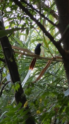

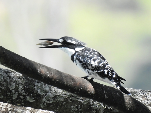
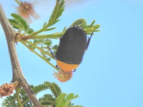
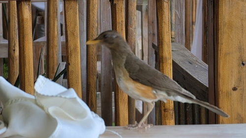
Research-grade observations from iNaturalist (within ~15 mi).
Events
Gallery
Sources
- • Wikipedia
- • Wikidata
- • USGS Earthquake Catalog (global feed)
- • GBIF (Global Biodiversity Information Facility)
- • iNaturalist
- • Open-Meteo / sunrise-sunset.org
- • Wikipedia Pageviews API