Browse / Ethiopia / Oromia / Mojo
Mojo
Oromiatown

Mojo
Demographic figures from Ethiopian Statistical Service. Overview below cites Wikipedia and may reference a different year.
City facts
Facts from Wikidata (CC0).
Overview
Mojo is a town in central Ethiopia, named after the nearby Modjo River. Located in the East Shewa Zone of the Oromia Region, it has a latitude and longitude of 8°39′N 39°5′E with an elevation between 1788 and 1825 meters above sea level. It is the administrative center of Lome district.
Read more on WikipediaHistory & geography
History
The earliest mention of Mojo is in the Futuh al-Habasha, which mentions that Imam Ahmad ibn Ibrihim al-Ghazi burned a village named "Masin" and a church belonging to the Emperor prior to the Battle of Shimbra Kure; at the time, Mojo was part of the former province of Fatagar. In June 1965, construction of the Ethio-Japanese Synthetic Textiles Mill began, with a budget of 15 million Birr. The Textiles Co. behind it was 49% Japanese and 51% Ethiopian owned, with a capital of 2.5 million Birr. The company formally introduced its products to the market at the beginning of August 1966; the factory went into 24-hour operation in December 1966 and had 152 looms. On 30 October 1996, an Ethiopian Air Force aircraft crashed into the marketplace, killing 8 people and injuring 94. About 50 residential and commercial buildings were destroyed by fire.
Excerpted from the corresponding Wikipedia article (CC BY-SA).
Geography
Coordinates & boundaries from the US Census TIGER/Line shapefiles.
Climate
Air quality
Walkability
Amenities nearby
Wildlife & biodiversity
Most-observed species
- Pied CrowCorvus albus Statius Muller, 1776 · Aves33
- Hooded VultureNecrosyrtes monachus (Temminck, 1823) · Aves30
- Black KiteMilvus migrans (Boddaert, 1783) · Aves30
- Dark Chanting-GoshawkMelierax metabates Heuglin, 1861 · Aves28
- Marabou StorkLeptoptilos crumenifer (R.P.Lesson, 1831) · Aves27
- Tawny EagleAquila rapax (Temminck, 1828) · Aves25
- Greater Blue-eared StarlingLamprotornis chalybaeus Hemprich & Ehrenberg, 1828 · Aves25
- Red-eyed DoveStreptopelia semitorquata (Rüppell, 1837) · Aves23
Citizen-science & research observations from the Global Biodiversity Information Facility (GBIF).
Earthquake history
Most recent
- M 4 — 2026-06-2541 km NW of Metahāra, Ethiopia
- M 4.3 — 2026-05-1011 km N of Metahāra, Ethiopia
- M 4.3 — 2026-03-2143 km S of Metahāra, Ethiopia
- M 4.6 — 2026-02-1523 km WNW of Metahāra, Ethiopia
- M 4.5 — 2025-11-173 km NNE of Metahāra, Ethiopia
- M 4.5 — 2025-02-246 km WNW of Metahāra, Ethiopia
Events from the USGS Earthquake Catalog (global) (FDSN Event Web Service).
Photos
Sights & places nearby
Notable people from here
Nearby places in Oromia
Geography & sun
Elevation, sunrise/sunset and daylight from Open-Meteo. Solar climatology from NASA POWER.
Nearby airports
Public attention
Pageview totals from the Wikimedia Pageviews API.
Books about this place
Recent natural events nearby
Ground air-quality sensors
Recently spotted species
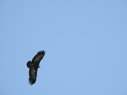
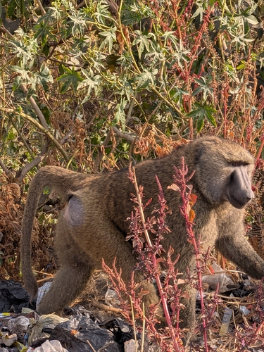
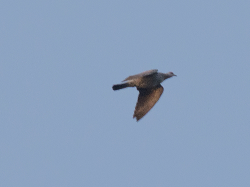
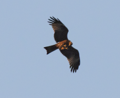
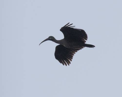
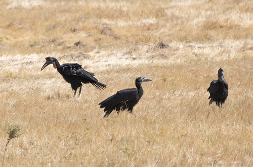
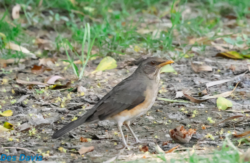
Research-grade observations from iNaturalist (within ~15 mi).
Events
Gallery
Sources
- • Wikipedia
- • Wikidata
- • USGS Earthquake Catalog (global feed)
- • GBIF (Global Biodiversity Information Facility)
- • iNaturalist
- • Open-Meteo / sunrise-sunset.org
- • Wikipedia Pageviews API