Browse / Finland / Kymenlaakso / Hamina
Hamina
Kymenlaaksotown

Hamina
Total population
19,867
Founded
1653
Demographic figures from Statistics Finland. Overview below cites Wikipedia and may reference a different year.
City facts
Sister cities
Facts from Wikidata (CC0).
Overview
Hamina is a town and a municipality of Finland. It is located in the Kymenlaakso region, approximately 145 km (90 mi) east of the country's capital Helsinki and approximately 25 km (16 mi) of Kotka, the regional capital of Kymenlaakso.
Read more on WikipediaHistory & geography
History
Vehkalahti was as a municipality first mentioned in 1336. At the proposal of Count Per Brahe, the area surrounding the Vehkalahti church (today St. Mary's Church) received its charter in 1653 through the establishment of Vehkalahden Uusikaupunki (Veckelax Nystad in Swedish, "The New Town of Vehkalahti"). The town was later destroyed during the Great Northern War in 1712. As the commercially vibrant city of Vyborg was lost to Russia in 1721, Fredrikshamn (named in 1723 in the honor of King Frederick I of Sweden) was dedicated to replace it. The town, hitherto a small domestic port with restricted trading privileges, was granted extensive rights to conduct foreign trade. The Finnish speaking population soon abbreviated the name of the town to Hamina. The reconstruction of the town was completed between 1722 and 1724. The star-shaped fortress and the circular town plan, designed by Axel Löwen, were based on Central European and Italian Renaissance concepts from the 16th century. In 1743, Hamina was surrendered to Russia, after the Russo–Swedish War, 1741–1743, and the town of Loviisa was the next Swedish candidate for an Eastern-Finnish trade center. Hamina became a Russian frontier town, for which a fortress was desirable. The Treaty of Fredrikshamn (1809), by which Sweden ceded Finland, including parts of the province of Lappland and Åland, was signed in Hamina. Thus Sweden was split, and the eastern half was formed into the Grand Duchy of Finland, an autonomous part of the Russian Empire. In 1812, the previously conquered territories known as Old Finland (including Hamina) were joined to the Grand Duchy. Hamina Cadet School was founded in 1819 and was in operation until 1903. One of the most famous students of this school was young Carl Gustaf Emil Mannerheim…
Excerpted from the corresponding Wikipedia article (CC BY-SA).
Geography
Coordinates & boundaries from the US Census TIGER/Line shapefiles.
Climate
Air quality
Walkability
Amenities nearby
Wildlife & biodiversity
Most-observed species
- Eurasian Blue TitCyanistes caeruleus (Linnaeus, 1758) · Aves3,146
- Great TitParus major Linnaeus, 1758 · Aves2,463
- Western JackdawColoeus monedula (Linnaeus, 1758) · Aves2,325
- Great Cormorant/European ShagPhalacrocorax carbo (Linnaeus, 1758) · Aves1,943
- European StarlingSturnus vulgaris Linnaeus, 1758 · Aves1,729
- Eurasian KestrelFalco tinnunculus Linnaeus, 1758 · Aves1,502
- Common Wood-PigeonColumba palumbus Linnaeus, 1758 · Aves1,477
- Common ChaffinchFringilla coelebs Linnaeus, 1758 · Aves1,398
Citizen-science & research observations from the Global Biodiversity Information Facility (GBIF).
Earthquake history
Most recent
- M 2.5 — 2008-07-029 km NW of Joutseno, Finland
- M 2.6 — 2005-08-2314 km WSW of Kamennogorsk, Russia
Events from the USGS Earthquake Catalog (global) (FDSN Event Web Service).
Photos
Sights & places nearby
Notable people from here
Nearby places in Kymenlaakso
- Gorići1193.1 mi away · pop. 22
- Mlakva1200.1 mi away · pop. 51
- Varoš1201.1 mi away · pop. 74
- Vaganac1204 mi away
- Boino1313.2 mi away
- Souakria1958.8 mi away
- Meftah1960.2 mi away · pop. 64,978
- Djebabra1961.4 mi away · pop. 3,403
- Belaouadi1963.8 mi away
- Aït Tachfine1964 mi away
- Bendali Ali1965.1 mi away
- Aït Djellid1966.3 mi away
Geography & sun
Elevation, sunrise/sunset and daylight from Open-Meteo. Solar climatology from NASA POWER.
Nearby airports
Public attention
Pageview totals from the Wikimedia Pageviews API.
Books about Hamina
Search results from Open Library.
Recent natural events nearby
Ground air-quality sensors
Recently spotted species
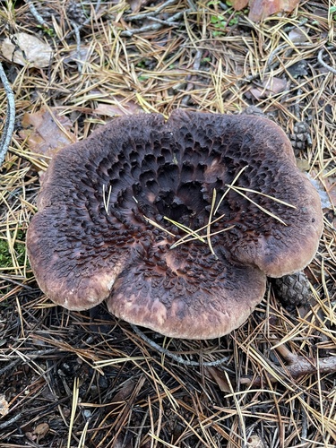
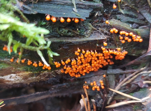
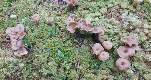
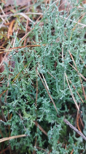
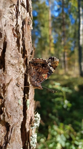
Research-grade observations from iNaturalist (within ~15 mi).
Events
Gallery
Sources
- • Wikipedia
- • Wikidata
- • USGS Earthquake Catalog (global feed)
- • GBIF (Global Biodiversity Information Facility)
- • iNaturalist
- • Open-Meteo / sunrise-sunset.org
- • Wikipedia Pageviews API
- • Open Library
- • Wikidata SPARQL (CC0) — population, area, elevation, inception, head of government, Commons image