Browse / Finland / Central Finland / Kannonkoski
Kannonkoski
Central Finlandtown

Kannonkoski
Total population
1,453
Founded
1934
Demographic figures from Statistics Finland. Overview below cites Wikipedia and may reference a different year.
City facts
Sister cities
Facts from Wikidata (CC0).
Overview
Kannonkoski is a Finnish municipality located in the Central Finland region. The municipality has a population of 1,137 and covers an area of 549.88 square kilometres (212.31 sq mi) of which 104.87 km2 (40.49 sq mi), or 19%, is water. Neighbouring municipalities are Karstula, Kivijärvi, Saarijärvi, Viitasaari and Äänekoski.
Read more on WikipediaHistory & geography
History
Kannonkoski as a settlement name is very new, originally only referring to the rapids which connect the lake Kannonjärvi to the lake Kivijärvi. The toponym kannonn Maa was mentioned in 1552, referring to hunting grounds of the people of Sysmä in this area. The people of Pälkäne also had hunting grounds around the rapids and the name Kannonkoski may be derived from Kantokylä, a village in Pälkäne. By 1558 the area had got permanent Savonian settlers, who established the village of Kantojärvi (transcribed as Kandoijerffuij). Rautalampi, including this area, became a separate parish in 1561. Viitasaari was separated from Rautalampi in 1635. At the time, it included all of the villages that would later become parts of the municipality of Kannonkoski. Kivijärvi was split off from Viitasaari in 1904. In 1919 it was decided that the area should get its own parish, which happened in 1931. The parish was formed from parts of Viitasaari and Kivijärvi. The area became a municipality in 1934. The church and administrative center were placed in the village of Pudasjärvi, however because a municipality called Pudasjärvi already existed, the new municipality was named Kannonkoski after the nearby rapids. During the Winter War, 117 monks from the Valamo monastery in the lake Ladoga were evacuated. They arrived in Kannonkoski in 1939, bringing various icons and relics with them. The monks lived in the Piispala school, which at the time was closed due to the ongoing war. The monks left Kannonkoski in the autumn of 1940 after they had purchased an old manor in Heinävesi, where the New Valamo monastery was soon established. 27 monks died during the evacuation and were buried in the graveyard of the Lutheran Kannonkoski church. Kannonkoski, Karstula, Kivijärvi and Kyyjärvi had planned…
Excerpted from the corresponding Wikipedia article (CC BY-SA).
Geography
Coordinates & boundaries from the US Census TIGER/Line shapefiles.
Climate
Air quality
Walkability
Amenities nearby
Wildlife & biodiversity
Earthquake history
Photos
Sights & places nearby
Notable people from here


People born within ~10 km, from Wikidata (CC0). Click any name for their Wikipedia article.
Nearby places in Central Finland
- Tići1278.6 mi away · pop. 48
- Hlevci1280.8 mi away · pop. 17
- Studena1285.6 mi away · pop. 382
- Homer1285.7 mi away · pop. 272
- Zarnevo1339.2 mi away · pop. 1,300
- Azinhal2242.9 mi away · pop. 271
- Vaqueiros2243.5 mi away · pop. 58
- Cabanas de Tavira2255.5 mi away
- Santo Estêvão2259 mi away
- Querença2261.4 mi away · pop. 35
- Moncarapacho2263.4 mi away · pop. 1,192
- Quelfes2265.9 mi away
Geography & sun
Elevation, sunrise/sunset and daylight from Open-Meteo. Solar climatology from NASA POWER.
Nearby airports
Public attention
Pageview totals from the Wikimedia Pageviews API.
Books about this place
Recent natural events nearby
Ground air-quality sensors
Recently spotted species
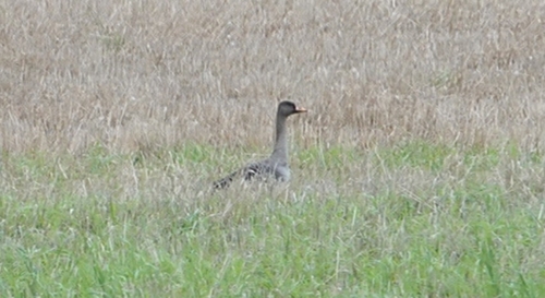
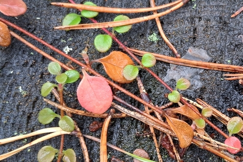
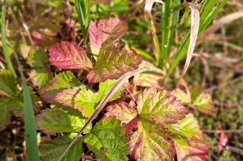
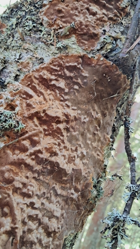
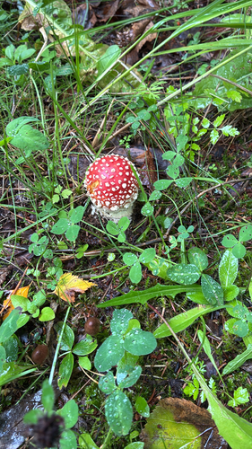
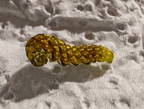
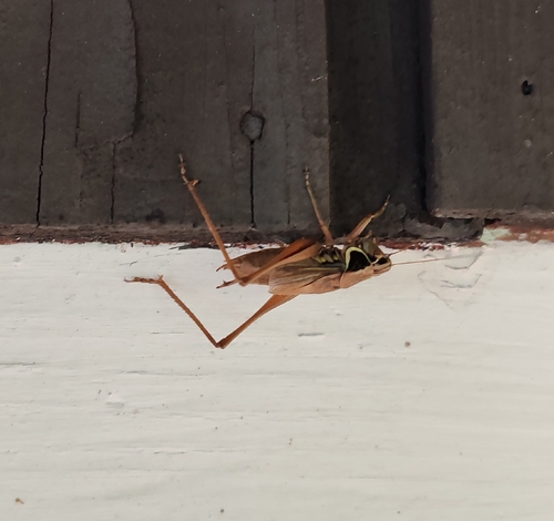
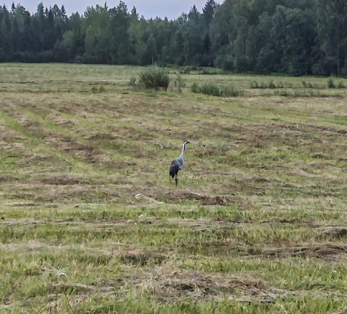
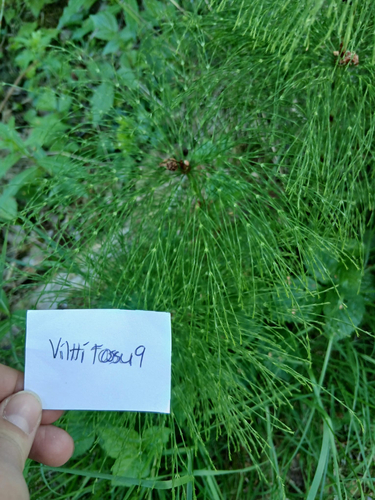
Research-grade observations from iNaturalist (within ~15 mi).
Events
Gallery
Sources
- • Wikipedia
- • Wikidata
- • iNaturalist
- • Open-Meteo / sunrise-sunset.org
- • Wikipedia Pageviews API
- • Wikidata SPARQL (CC0) — population, area, elevation, inception, head of government, Commons image