Browse / Portugal / Faro / Azinhal
Azinhal
Farovillage

Featured view
Azinhal
Total population
271
Coordinates37.28°, -7.46°
Demographic figures from INE Portugal. Overview below cites Wikipedia and may reference a different year.
Loading additional data from public sources…0 / 11
CensusWikipediaWeatherPlacesPeopleEnvironmentHealth & SchoolsRelatedGeography & CultureLive MonitoringEvents & Gallery
0% completeCity facts
Overview
Azinhal is a freguesia (parish) in the municipality of Castro Marim. The population in 2011 was 522, in an area of 68.16 km2 (26.32 sq mi).
Read more on WikipediaHistory & geography
Geography
Latitude
37.2848
Longitude
-7.4642
Water area
—
Coordinates & boundaries from the US Census TIGER/Line shapefiles.
Climate
Air quality
Walkability
Amenities nearby
Wildlife & biodiversity
Earthquake history
Photos
Sights & places nearby
Notable people from here

María Isabel López
Spanish singer and actress

Antonio León Ortega
Spanish artist (1907-1991)
Á
Ángel Papadolopus
Spanish circus performer (1944-2010)

Rodrigo de Jerez
Spanish explorer

Juan del Río Martín
Spanish archbishop (1947–2021)

Florencio Aguilera
Spanish painter
A
Antonio Sánchez González

Isaías Pérez Saldaña
Spanish politician
R
Rafael Aguilera
Spanish painter (1903-1998)
D
Domingos Correia Arouca
Portuguese general, administrator and colonial governor
L
Lino Dias Miguel
Portuguese Air Force general and politician
A
Alberto Manzanares Abecasis
S
Silvestre Falcão
Portuguese politician (1866-1927)
E
Ezequiel Massoni
M
Mariela Perera Borrego
chess player
B
Benet Delcán Zamudio
People born within ~10 km, from Wikidata (CC0). Click any name for their Wikipedia article.
Nearby places in Faro
- Monte Gordo7.1 mi away
- Conceição12.3 mi away · pop. 1,010
- Cabanas de Tavira12.7 mi away
- Vaqueiros16 mi away · pop. 58
- Santa Luzia16.7 mi away · pop. 1,490
- Santo Estêvão17.6 mi away
- Martim Longo19.8 mi away · pop. 457
- Moncarapacho22.6 mi away · pop. 1,192
- Quelfes25.2 mi away
- Conceição29.3 mi away · pop. 636
- Querença29.4 mi away · pop. 35
- Montenegro32.6 mi away · pop. 5,415
Geography & sun
Avg solar (kWh/m²/day)
5.01
Annual solar (kWh/m²)
1,830
Elevation, sunrise/sunset and daylight from Open-Meteo. Solar climatology from NASA POWER.
Nearby airports
Public attention
Wikipedia views (last 30 days)
17
Avg daily Wikipedia views
1
Attention level
Obscure
Pageview totals from the Wikimedia Pageviews API.
Books about this place
Recent natural events nearby
Ground air-quality sensors
Recently spotted species
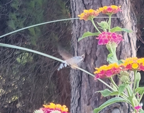
Eurasian Hummingbird Hawkmoth
Macroglossum stellatarum
Seen 2026-09-17
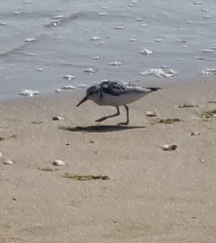
Sanderling
Calidris alba
Seen 2026-09-17
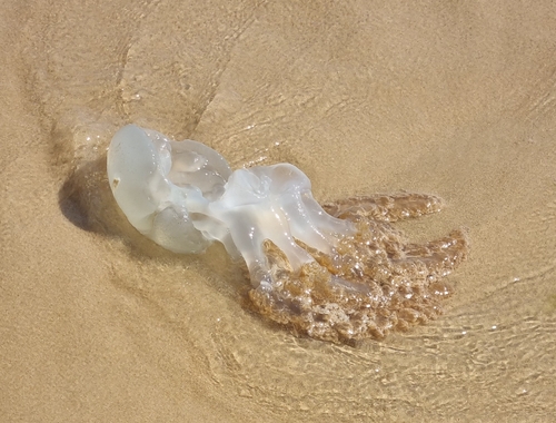
Jelly Blubber
Catostylus tagi
Seen 2026-09-17
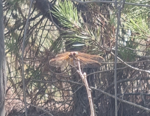
Violet Dropwing
Trithemis annulata
Seen 2026-09-17
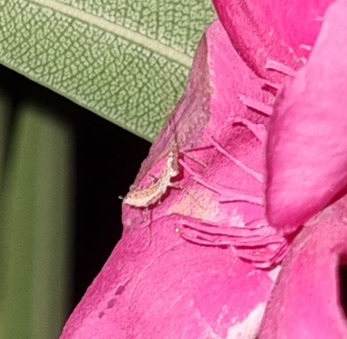
Leafhopper Assassin Bug
Zelus renardii
Seen 2026-09-16
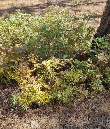
mastic
Pistacia lentiscus
Seen 2026-09-16
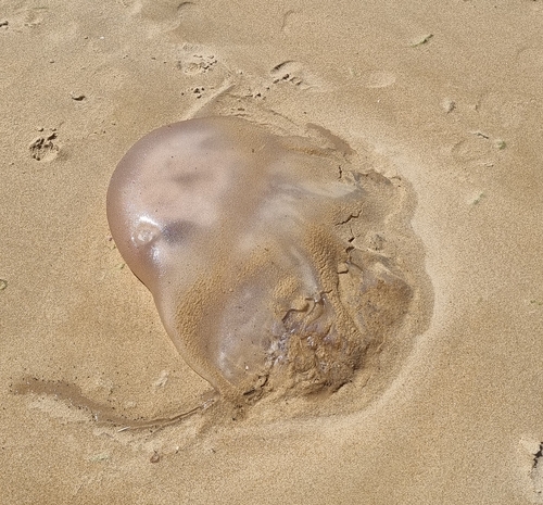
Rhizostoma luteum
Rhizostoma luteum
Seen 2026-09-16
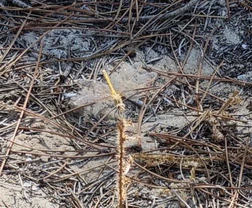
Nomad
Sympetrum fonscolombii
Seen 2026-09-16
Research-grade observations from iNaturalist (within ~15 mi).
Events
Gallery
Official Identifiers
INE Portugal
- INE ID
- 080401
- Population (Wikidata)
- 479
- Wikidata
- Q2358332
INE ID via Wikidata P6324
Sources
- • Wikipedia
- • Wikidata
- • iNaturalist
- • Open-Meteo / sunrise-sunset.org
- • Wikipedia Pageviews API
- • INE Portugal — INE ID via Wikidata P6324