Browse / Portugal / Faro / Martim Longo
Martim Longo
Farovillage

Featured view
Martim Longo
Total population
457
Land area128.45 km²
Coordinates37.44°, -7.77°
Demographic figures from INE Portugal. Overview below cites Wikipedia and may reference a different year.
Loading additional data from public sources…0 / 11
CensusWikipediaWeatherPlacesPeopleEnvironmentHealth & SchoolsRelatedGeography & CultureLive MonitoringEvents & Gallery
0% completeCity facts
Area
128.45 km²
Facts from Wikidata (CC0).
Overview
Martim Longo is a Portuguese freguesia in the municipality (concelho) of Alcoutim, on the eastern side of the Algarve. The population in 2011 was 1,030, in an area of 128.45 km2.
Read more on WikipediaHistory & geography
Geography
Latitude
37.4397
Longitude
-7.7684
Water area
—
Coordinates & boundaries from the US Census TIGER/Line shapefiles.
Climate
Air quality
Walkability
Amenities nearby
Wildlife & biodiversity
Earthquake history
Photos
Sights & places nearby
Notable people from here
Nearby places in Faro
- Vaqueiros4.4 mi away · pop. 58
- Azinhal19.8 mi away · pop. 271
- Querença20.5 mi away · pop. 35
- Santo Estêvão21.8 mi away
- Conceição22.2 mi away · pop. 1,010
- Cabanas de Tavira23 mi away
- Santa Luzia24.1 mi away · pop. 1,490
- Moncarapacho24.6 mi away · pop. 1,192
- Monte Gordo24.9 mi away
- Quelfes26.5 mi away
- Conceição27.4 mi away · pop. 636
- Vale Judeu28.7 mi away · pop. 716
Geography & sun
Avg solar (kWh/m²/day)
5.01
Annual solar (kWh/m²)
1,830
Elevation, sunrise/sunset and daylight from Open-Meteo. Solar climatology from NASA POWER.
Nearby airports
Public attention
Wikipedia views (last 30 days)
61
Avg daily Wikipedia views
2
Attention level
Obscure
Pageview totals from the Wikimedia Pageviews API.
Books about this place
Recent natural events nearby
Ground air-quality sensors
Recently spotted species
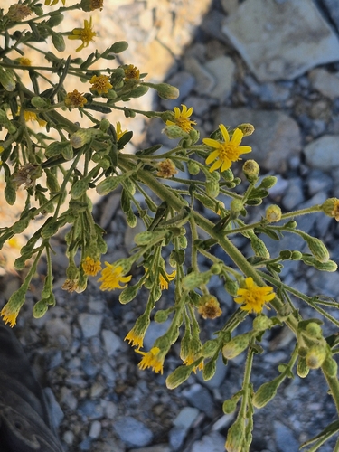
false yellowhead
Dittrichia viscosa
Seen 2026-09-15
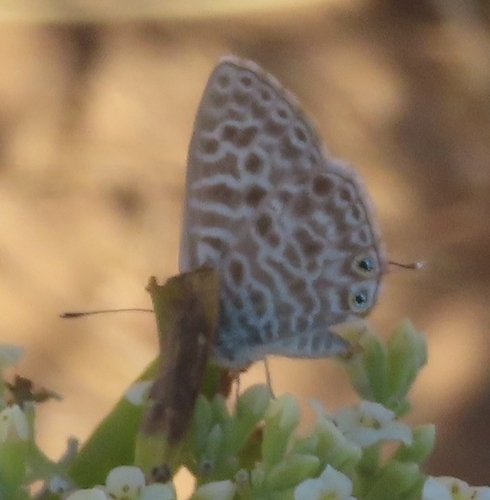
Lang's Short-tailed Blue
Leptotes pirithous
Seen 2026-09-11
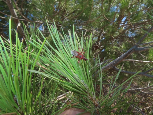
Rhynocoris iracundus
Rhynocoris iracundus
Seen 2026-09-10
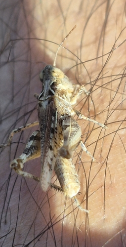
Jago's Cross-backed Grasshopper
Dociostaurus jagoi
Seen 2026-09-08
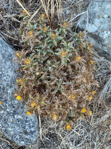
Carlina hispanica
Carlina hispanica
Seen 2026-09-02
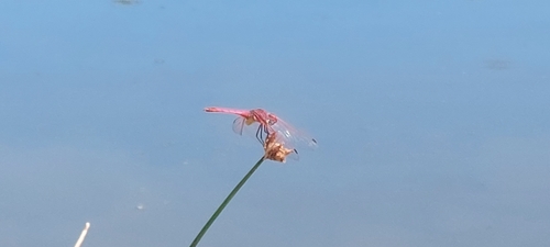
Violet Dropwing
Trithemis annulata
Seen 2026-08-28
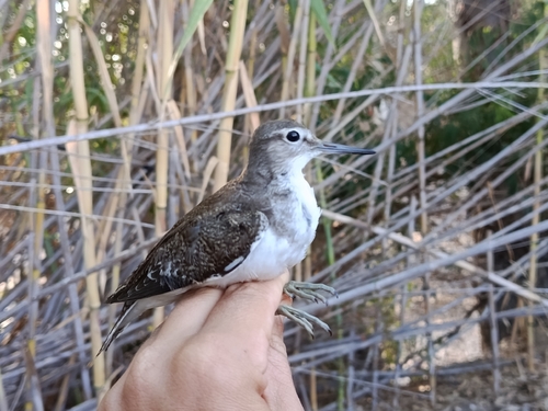
Common Sandpiper
Actitis hypoleucos
Seen 2026-08-26
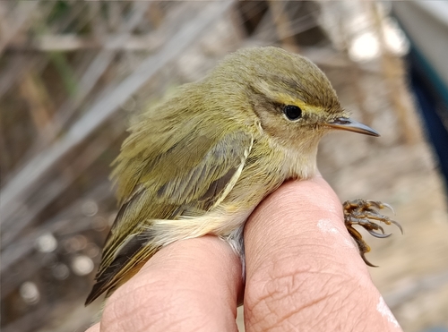
Iberian Chiffchaff
Phylloscopus ibericus
Seen 2026-08-26
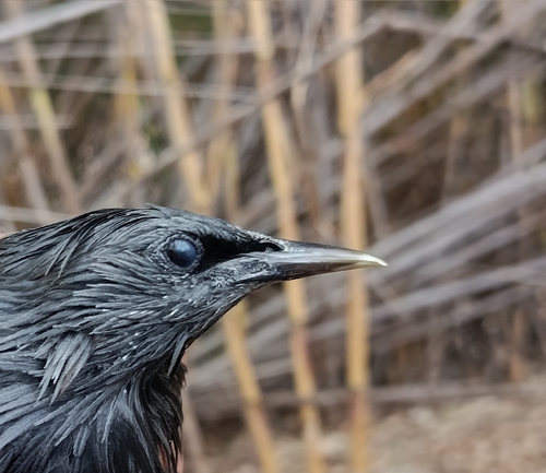
Spotless Starling
Sturnus unicolor
Seen 2026-08-26
Research-grade observations from iNaturalist (within ~15 mi).
Events
Gallery
Official Identifiers
INE Portugal
- INE ID
- 080203
- Population (Wikidata)
- 928
- Wikidata
- Q2652713
INE ID via Wikidata P6324
Sources
- • Wikipedia
- • Wikidata
- • iNaturalist
- • Open-Meteo / sunrise-sunset.org
- • Wikipedia Pageviews API
- • INE Portugal — INE ID via Wikidata P6324