Browse / Finland / Lapland / Kemi
Kemi
Laplandtown

Kemi
Total population
20,394
Founded
1869
Demographic figures from Statistics Finland. Overview below cites Wikipedia and may reference a different year.
City facts
Facts from Wikidata (CC0).
Overview
Kemi is a town and municipality of Finland. It is located approximately 30 kilometres (19 mi) from the city of Tornio and the Swedish border. The distance to Oulu is 105 kilometres (65 mi) to the south and to Rovaniemi is 117 kilometres (73 mi) to the northeast. It was founded in 1869 by a decree of the Emperor Alexander II of Russia because of its proximity to a deepwater port.
Read more on WikipediaHistory & geography
History
During World War II, after Finland signed the Moscow Armistice and found itself involved in the Lapland War against its former German ally, German forces at the beginning of October 1944 captured 132 Finnish civilian hostages in Kemi (as well as 130 in Rovaniemi) and threatened to kill them unless the Finnish army released the German POWs captured in the Battle of Tornio. However, Finland refused to comply and threatened to retaliate by killing the German POWs. The hostages were released unharmed on October 11, 1944, near Rovaniemi.
Geography
Kemi is situated on the Bothnian Bay, at the mouth of the river Kemijoki, and it is part of the Lapland region. The climate type of Kemi is a typical subarctic climate (Köppen Dfc). It is characterized by long, cold winters and warm, short summers; but because it is on the coast of the Gulf of Bothnia, the characteristics of its continental climate are not as pronounced as inland areas.
Excerpted from the corresponding Wikipedia article (CC BY-SA).
Geography
Coordinates & boundaries from the US Census TIGER/Line shapefiles.
Climate
Air quality
Walkability
Amenities nearby
Wildlife & biodiversity
Earthquake history
Photos
Sights & places nearby
Notable people from here


People born within ~10 km, from Wikidata (CC0). Click any name for their Wikipedia article.
Nearby places in Lapland
- Rovaniemi62.3 mi away · pop. 66,201
- Križnica1391.6 mi away · pop. 128
- Zrinj Lukački1393 mi away · pop. 129
- Kladare1393 mi away · pop. 467
- Terezino Polje1393.6 mi away · pop. 269
- Veliko Polje1393.7 mi away · pop. 341
- Novi Gradac1393.8 mi away · pop. 167
- Okrugljača1394.2 mi away · pop. 272
- Dinjevac1394.4 mi away · pop. 458
- Stari Gradac1395.3 mi away · pop. 674
- Žlebina1395.3 mi away · pop. 315
- Detkovac1395.5 mi away · pop. 307
Geography & sun
Elevation, sunrise/sunset and daylight from Open-Meteo. Solar climatology from NASA POWER.
Nearby airports
Public attention
Pageview totals from the Wikimedia Pageviews API.
Books about Kemi
Search results from Open Library.
Recent natural events nearby
Ground air-quality sensors
Recently spotted species
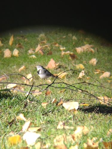
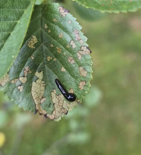
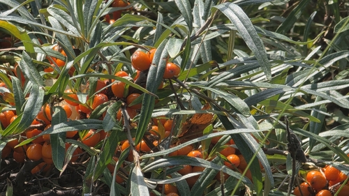
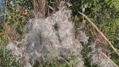
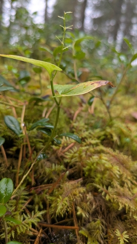
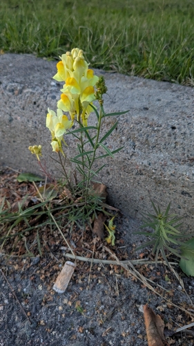
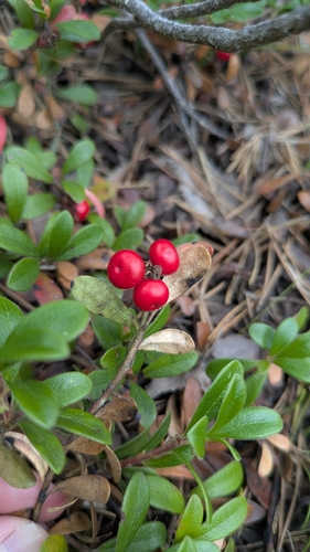
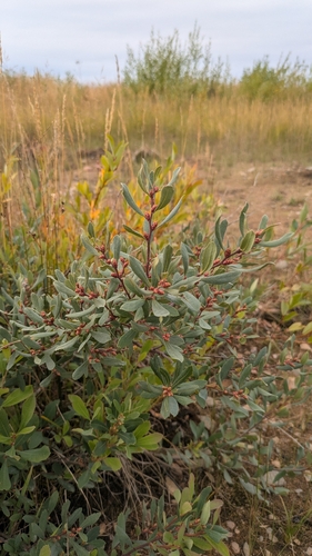
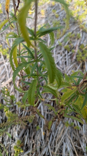
Research-grade observations from iNaturalist (within ~15 mi).
Events
Gallery
Sources
- • Wikipedia
- • Wikidata
- • iNaturalist
- • Open-Meteo / sunrise-sunset.org
- • Wikipedia Pageviews API
- • Open Library
- • Wikidata SPARQL (CC0) — population, area, elevation, inception, head of government, Commons image