Browse / Finland / Uusimaa / Kerava
Kerava
Uusimaatown

Kerava
Total population
38,826
Founded
1970
Air quality index
Demographic figures from Statistics Finland. Overview below cites Wikipedia and may reference a different year.
City facts
Sister cities
Facts from Wikidata (CC0).
Overview
Kerava is a town in Finland, located in the southern interior of the country. Kerava is situated in the centre of the Uusimaa region. The population of Kerava is approximately 39,000. It is the 30th most populous municipality in Finland. Kerava is part of the Helsinki Metropolitan Area, which has approximately 1.62 million inhabitants.
Read more on WikipediaHistory & geography
History
Until the Middle Ages, Kerava was a wilderness, until two villages, Ylikerava ("Upper Kerava") and Alikerava ("Lower Kerava"), were created along the Kerava River (Keravanjoki). In 1924, Kerava was separated from Tuusula as its own township. At that time, it had a population of about 3,000. Originally, it also included part of the Korso area, and Korso railway station was also located in the township area. However, from 1954 onwards, the entire Korso was annexed to the then Helsinki Rural Municipality. During the peak periods of the late 1960s and 1970s, the population almost doubled due to immigration and good transport connections, and new suburbs were created in Kurkela, Kilta and Untola. Kerava was officially granted town rights in 1970.
Geography
Kerava is located in the north of the Helsinki metropolitan area, 27 kilometres north of Helsinki. The city is crossed by the (Helsinki-) Kerava–Lahti railway line and the Lahdenväylä motorway and the Keravanjoki river. Keravanjoki is a tributary of the Vantaanjoki river. Its neighbours are Vantaa to the south, Tuusula to the west and Sipoo to the east. Kerava forms an almost uniform urban area, which can be roughly divided into the centre and Savio in the south and Ahjo in the east. The centre of Kerava is surrounded by several radial streets. A pedestrian street runs through the centre under the railway, which is said to be the longest in Finland (850 metres). Kerava is divided into 10 neighbourhoods. {| class="prettytable sortable" style="text-align:left;" ! Number ! Name |- | 1 || Kaleva |- | 2 || Kilta |- | 3 || Sompio |- | 4 || Keskusta |- | 5 || Ahjo |- | 6 || Savio |- | 7 || Ylikerava |- | 8 || Kaskela |- | 9 || Alikerava |- | 10 || Jokivarsi |}
Excerpted from the corresponding Wikipedia article (CC BY-SA).
Geography
Coordinates & boundaries from the US Census TIGER/Line shapefiles.
Climate
Air quality
Current readings from Open-Meteo Air Quality API (Copernicus CAMS European reanalysis).
Walkability
Amenities nearby
Wildlife & biodiversity
Most-observed species
- Eurasian Blue TitCyanistes caeruleus (Linnaeus, 1758) · Aves10,804
- Great TitParus major Linnaeus, 1758 · Aves7,205
- Black-headed GullChroicocephalus ridibundus (Linnaeus, 1766) · Aves6,535
- Eurasian BlackbirdTurdus merula Linnaeus, 1758 · Aves3,815
- European Pied FlycatcherFicedula hypoleuca (Pallas, 1764) · Aves3,745
- Common ChaffinchFringilla coelebs Linnaeus, 1758 · Aves2,417
- Eurasian KestrelFalco tinnunculus Linnaeus, 1758 · Aves1,977
- Green-veined WhitePieris napi (Linnaeus, 1758) · Insecta1,729
Citizen-science & research observations from the Global Biodiversity Information Facility (GBIF).
Earthquake history
Most recent
- M 2.6 — 2011-03-19Finland
Events from the USGS Earthquake Catalog (global) (FDSN Event Web Service).
Photos
Sights & places nearby
Notable people from here


People born within ~10 km, from Wikidata (CC0). Click any name for their Wikipedia article.
Nearby places in Uusimaa
- Röykkä16.4 mi away
- Pippuri34.1 mi away
- Mo i Rana529.5 mi away · pop. 18,739
- Jelovice1125.3 mi away · pop. 17
- Vodice1125.3 mi away · pop. 16
- Dane1126.3 mi away · pop. 9
- Rašpor1127.7 mi away · pop. 3
- Klenovšćak1128.1 mi away · pop. 6
- Kropinjak1128.4 mi away · pop. 4
- Račja Vas1128.4 mi away · pop. 25
- Prapoće1128.8 mi away · pop. 28
- Lanišće1129.2 mi away · pop. 88
Geography & sun
Elevation, sunrise/sunset and daylight from Open-Meteo. Solar climatology from NASA POWER.
Nearby airports
Public attention
Pageview totals from the Wikimedia Pageviews API.
Books about this place
Recent natural events nearby
Ground air-quality sensors
Recently spotted species
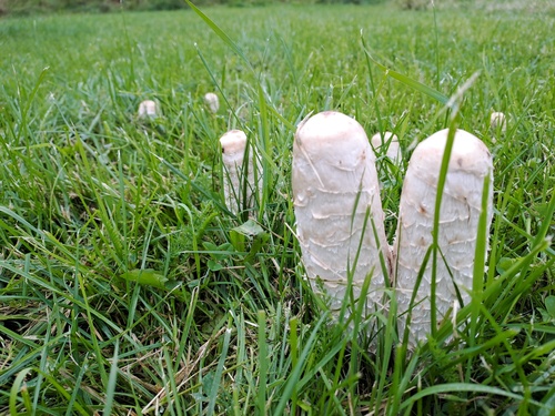
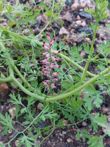
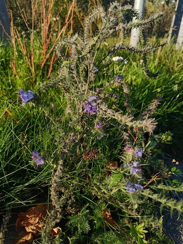
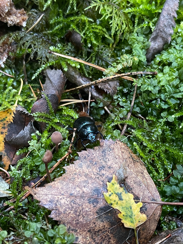
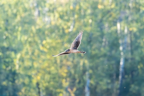
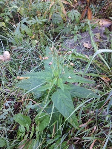
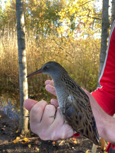
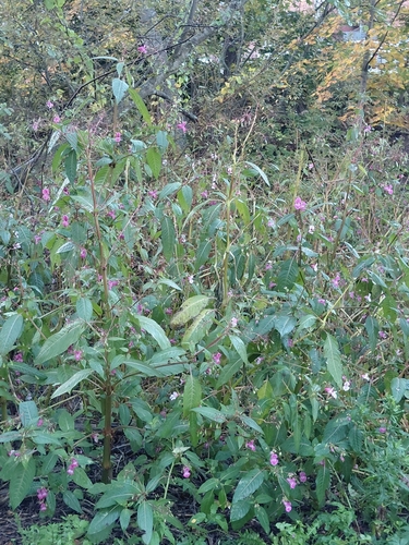
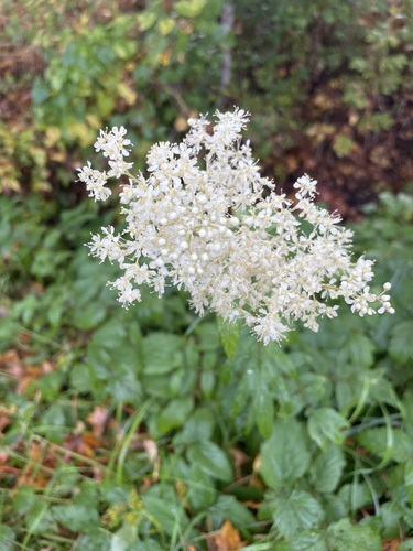
Research-grade observations from iNaturalist (within ~15 mi).
Events
Gallery
Sources
- • Wikipedia
- • Wikidata
- • Open-Meteo Air Quality (CAMS)
- • USGS Earthquake Catalog (global feed)
- • GBIF (Global Biodiversity Information Facility)
- • iNaturalist
- • Open-Meteo / sunrise-sunset.org
- • Wikipedia Pageviews API
- • Wikidata SPARQL (CC0) — population, area, elevation, inception, head of government, Commons image