Browse / Finland / Uusimaa / Kirkkonummi
Kirkkonummi
Uusimaatown

Kirkkonummi
Total population
41,766
Demographic figures from Statistics Finland. Overview below cites Wikipedia and may reference a different year.
City facts
Sister cities
Facts from Wikidata (CC0).
Overview
Kirkkonummi is a municipality in Finland, located in the southern coast of the country. Kirkkonummi is situated in the western part of the Uusimaa region. The population of Kirkkonummi is approximately 42,000. It is the 28th most populous municipality in Finland. Kirkkonummi is part of the Helsinki Metropolitan Area, which has approximately 1.62 million inhabitants.
Read more on WikipediaHistory & geography
History
Kirkkonummi has been populated from the Stone Age to the present day as evidenced by the first Stone Age rock paintings found in Finland that are located by lake Vitträsk in the central lake region of Kirkkonummi. Incidentally, these paintings were found by the famous Finnish composer Jean Sibelius. The southern half of the municipality was leased to the Soviet Union between 1945 and 1956 for use as a naval base as part of the peace settlement that ended the hostilities between the Soviet Union and Finland during World War II. Signs of this time include concrete bunkers, other fortifications and the remains of an airbase.
Geography
The municipality is located just outside the Helsinki Metropolitan Area, bordering the city of Espoo in the east. Other neighbouring municipalities are Vihti and Siuntio. The distance from the municipal centre to central Helsinki is some . Kirkkonummi also has excellent train and bus connections to other parts of the Greater Helsinki area, and many of its inhabitants commute daily to Helsinki. The municipality covers an area of of which is water.
Excerpted from the corresponding Wikipedia article (CC BY-SA).
Geography
Coordinates & boundaries from the US Census TIGER/Line shapefiles.
Climate
Air quality
Walkability
Amenities nearby
Wildlife & biodiversity
Earthquake history
Photos
Sights & places nearby
Notable people from here


People born within ~10 km, from Wikidata (CC0). Click any name for their Wikipedia article.
Nearby places in Uusimaa
- Pippuri4.7 mi away
- Röykkä26.2 mi away
- Mo i Rana533.2 mi away · pop. 18,739
- Jelovice1097.4 mi away · pop. 17
- Vodice1097.5 mi away · pop. 16
- Dane1098.5 mi away · pop. 9
- Rašpor1099.9 mi away · pop. 3
- Klenovšćak1100.3 mi away · pop. 6
- Kropinjak1100.6 mi away · pop. 4
- Račja Vas1100.6 mi away · pop. 25
- Podgaće1101.4 mi away · pop. 52
- Krbavčići1101.8 mi away · pop. 58
Geography & sun
Elevation, sunrise/sunset and daylight from Open-Meteo. Solar climatology from NASA POWER.
Nearby airports
Public attention
Pageview totals from the Wikimedia Pageviews API.
Books about Kirkkonummi
Search results from Open Library.
Recent natural events nearby
Ground air-quality sensors
Recently spotted species
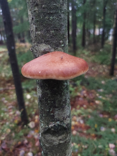
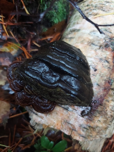
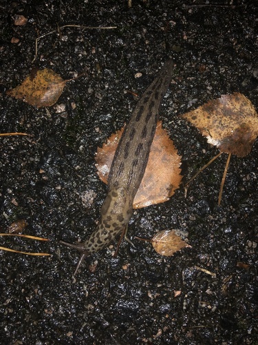
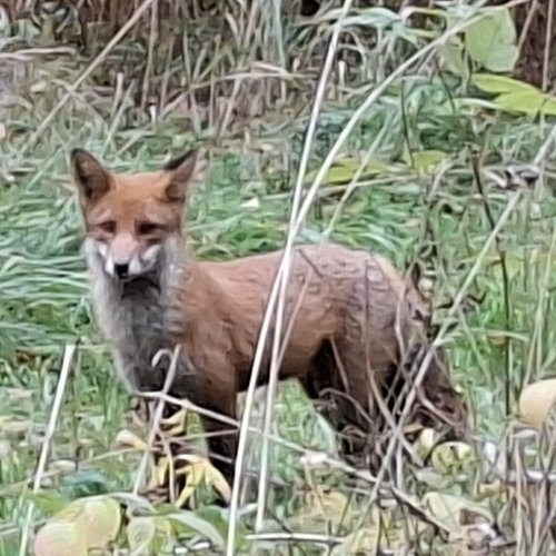
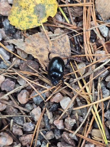
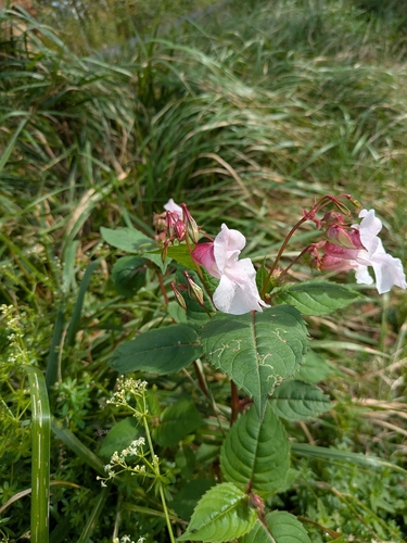
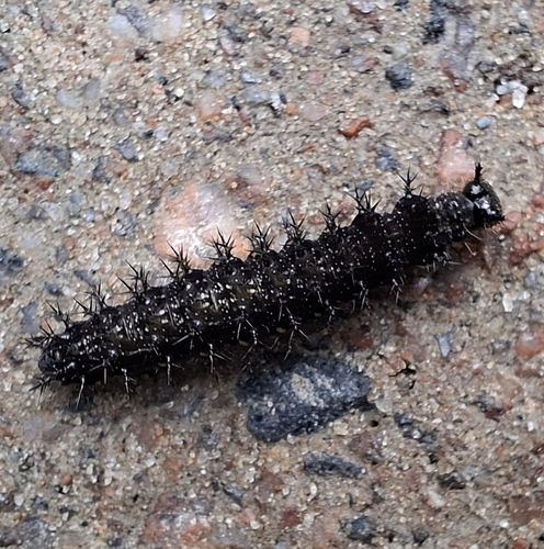
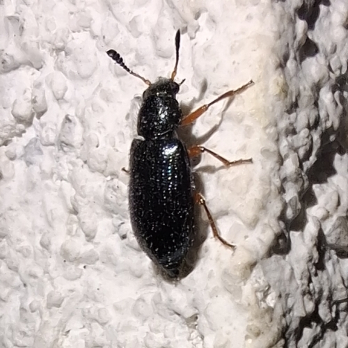
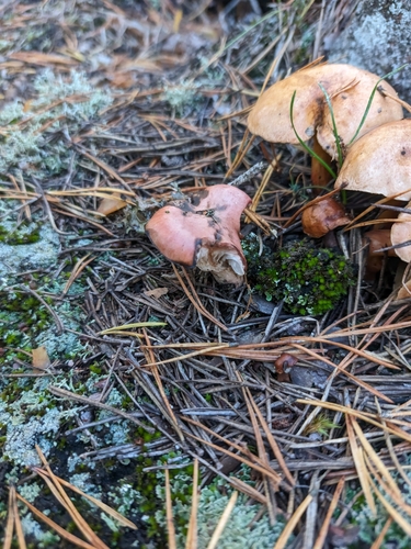
Research-grade observations from iNaturalist (within ~15 mi).
Events
Gallery
Sources
- • Wikipedia
- • Wikidata
- • iNaturalist
- • Open-Meteo / sunrise-sunset.org
- • Wikipedia Pageviews API
- • Open Library
- • Wikidata SPARQL (CC0) — population, area, elevation, inception, head of government, Commons image