Browse / Finland / Central Finland / Kivijärvi
Kivijärvi
Central Finlandtown

Kivijärvi
Total population
1,234
Founded
1868
Demographic figures from Statistics Finland. Overview below cites Wikipedia and may reference a different year.
City facts
Facts from Wikidata (CC0).
Overview
Kivijärvi is a municipality of Finland. It is located in the Central Finland region. The municipality has a population of 1,001 and covers an area of 599.88 square kilometres (231.61 sq mi) of which 115.81 km2 (44.71 sq mi) is water. The population density is 2.07 inhabitants per square kilometre (5.4/sq mi).
Read more on WikipediaHistory & geography
History
The toponym was first mentioned in 1554 as Kijuijerffuj ärmarch, referring to hunting grounds held by Tavastians. The village of Kivijärvi has existed at least since 1571, when it was a part of the large Rautalampi parish. It was transferred to the Viitasaari parish after its establishment in 1628. Kivijärvi became a chapel community in 1750 and fully independent from Viitasaari in 1864. Kinnula was separated from Kivijärvi in 1904, though it had had its own church since 1867. In 1934, parts of Kivijärvi and Viitasaari were separated in order to form the Kannonkoski municipality. Kannonkoski, Karstula, Kivijärvi and Kyyjärvi planned to merge into the from January 1, 2022. Karstula, Kivijärvi and Kyyjärvi accepted the merger proposal, but Kannonkoski did not. After Kannonkoski left the planned merger, Kivijärvi also left it. Later, the merger project of the remaining Karstula and Kyyjärvi also failed at the Kyyjärvi municipal council meeting held on May 17, 2021, and the Ministry of Finance does not propose a forced merger either.
Excerpted from the corresponding Wikipedia article (CC BY-SA).
Geography
Coordinates & boundaries from the US Census TIGER/Line shapefiles.
Climate
Air quality
Walkability
Amenities nearby
Wildlife & biodiversity
Earthquake history
Photos
Sights & places nearby
Notable people from here


People born within ~10 km, from Wikidata (CC0). Click any name for their Wikipedia article.
Nearby places in Central Finland
- Tići1285.6 mi away · pop. 48
- Hlevci1287.7 mi away · pop. 17
- Studena1292.3 mi away · pop. 382
- Homer1292.5 mi away · pop. 272
- Zarnevo1349.7 mi away · pop. 1,300
- Azinhal2244.2 mi away · pop. 271
- Vaqueiros2244.6 mi away · pop. 58
- Cabanas de Tavira2256.8 mi away
- Santo Estêvão2260.2 mi away
- Querença2262.5 mi away · pop. 35
- Moncarapacho2264.6 mi away · pop. 1,192
- Quelfes2267.1 mi away
Geography & sun
Elevation, sunrise/sunset and daylight from Open-Meteo. Solar climatology from NASA POWER.
Nearby airports
Public attention
Pageview totals from the Wikimedia Pageviews API.
Books about this place
Recent natural events nearby
Ground air-quality sensors
Recently spotted species
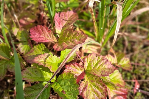
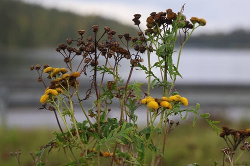
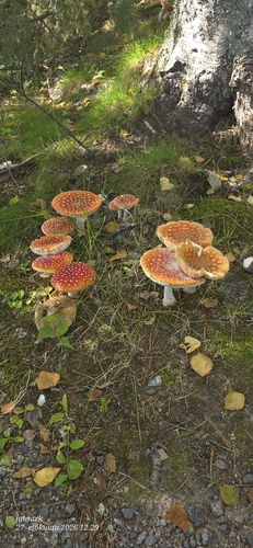
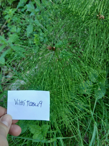
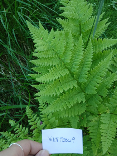
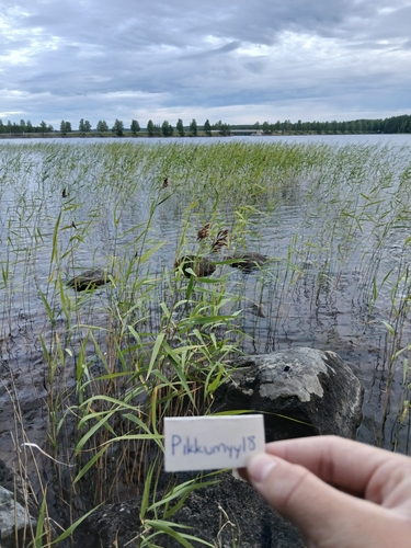
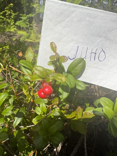
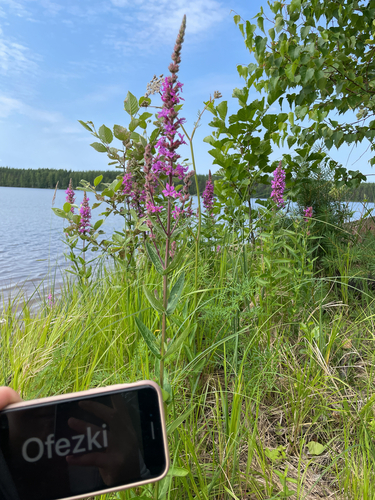
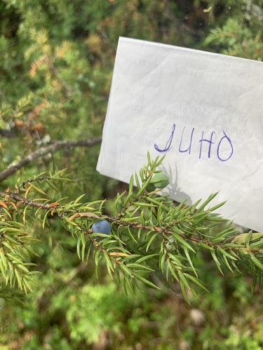
Research-grade observations from iNaturalist (within ~15 mi).
Events
Gallery
Sources
- • Wikipedia
- • Wikidata
- • iNaturalist
- • Open-Meteo / sunrise-sunset.org
- • Wikipedia Pageviews API
- • Wikidata SPARQL (CC0) — population, area, elevation, inception, head of government, Commons image