Browse / Finland / Central Finland / Lievestuore
Lievestuore
Central Finlandtown

Lievestuore
Demographic figures from Statistics Finland. Overview below cites Wikipedia and may reference a different year.
City facts
Overview
Lievestuore is an urban area (taajama) in Laukaa, Finland, located in the southeastern part of the municipality on the southern shore of lake Lievestuoreenjärvi. It is the third largest urban area and the most industrialized area in Laukaa. The Finnish national road 9 passes through Lievestuore and connects it to Jyväskylä, the distance between the two being 27 kilometres (17 mi).
Read more on WikipediaHistory & geography
History
Before the area was settled in the 16th century, the shores of the Lievestuoreenjärvi were hunting grounds of Tuulos, specifically the villages of Juttila and Toivaala. In 1560, a Savonian named Paavali Puttonen had settled on the hunting grounds of Toivaala, establishing the Naaranputtola farm. A leasehold estate () on the lands of Juttila was first mentioned in 1564, when it was leased to Markku Jussinpoika. This farm was abandoned in 1571. The Porkkala manor of Lammi also had a leased estate in the area since 1565, which was named Markkula at the end of the century. Initially the official village of Lievestuore included all farms around the lake, but Naarantaipale and Puttola (split from the former in 1571) were eventually transferred to the village of Leppävesi, though they were also mentioned as part of Niemisjärvi in 1579. However, three leasehold farms owned by the Skytte family; Leivonniemi (Simuna), Rusila (in modern Hankasalmi) and Taipale (Hytölä, in modern Sumiainen) were transferred to Lievestuore, thus forming a very discontinuous official village consisting only of leasehold estates. In 1611, the farm abandoned in 1571 was reestablished as Montola after its new leaseholder Jussi Montonen. The farm was leased to the Montonen family until the 1670s, then to the Valkonen family. The Saarilampi farm was separated from Montola in 1771. Montola had become a crown farm (, that was property of the crown and not of nobles) in 1694. The village of Lievestuore comprised five divisions () in 1776: Markkula, Montola, Rusila, Simuna and Hytölä. During the Great Partition, the discontinuous official village was noted as ineffective to administer. In 1829, Simuna was transferred to Kapeekoski, Rusila to Niemisjärvi and Hytölä to Sumiainen, while the farms of…
Excerpted from the corresponding Wikipedia article (CC BY-SA).
Geography
Coordinates & boundaries from the US Census TIGER/Line shapefiles.
Climate
Air quality
Walkability
Amenities nearby
Wildlife & biodiversity
Earthquake history
Photos
Sights & places nearby
Notable people from here
People born within ~10 km, from Wikidata (CC0). Click any name for their Wikipedia article.
Nearby places in Central Finland
- Tići1246.2 mi away · pop. 48
- Hlevci1248.5 mi away · pop. 17
- Homer1253.7 mi away · pop. 272
- Studena1254.3 mi away · pop. 382
- Zarnevo1288.2 mi away · pop. 1,300
- Azinhal2238.4 mi away · pop. 271
- Vaqueiros2239.3 mi away · pop. 58
- Cabanas de Tavira2251 mi away
- Santo Estêvão2254.6 mi away
- Querença2257.5 mi away · pop. 35
- Moncarapacho2259.1 mi away · pop. 1,192
- Quelfes2261.6 mi away
Geography & sun
Nearby airports
Public attention
Books about this place
Recent natural events nearby
Ground air-quality sensors
Recently spotted species

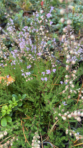
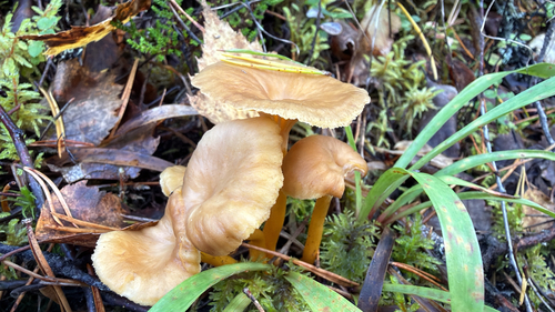
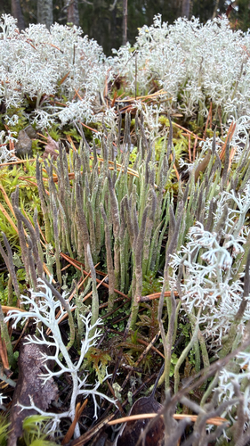
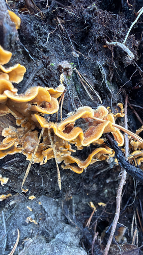
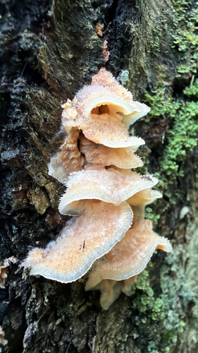
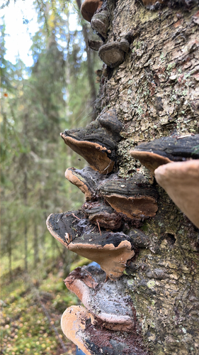
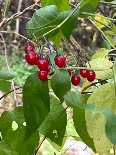
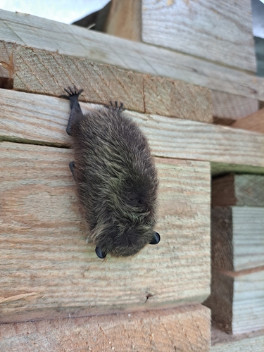
Research-grade observations from iNaturalist (within ~15 mi).
Events
Gallery
Sources
- • Wikipedia
- • Wikidata
- • iNaturalist
- • Wikidata SPARQL (CC0) — population, area, elevation, inception, head of government, Commons image