Browse / Finland / Uusimaa / Nurmijärvi
Nurmijärvi
Uusimaatown

Nurmijärvi
Total population
45,353
Founded
1605
Demographic figures from Statistics Finland. Overview below cites Wikipedia and may reference a different year.
City facts
Facts from Wikidata (CC0).
Overview
Nurmijärvi is a municipality in Finland, located in the southern interior of the country. Nurmijärvi is situated in the Uusimaa region. The population of Nurmijärvi is approximately 45,000. It is the 26th most populous municipality in Finland and the most populous municipality without city status. Nurmijärvi is part of the Helsinki metropolitan area, which has approximately 1.62 million inhabitants.
Read more on WikipediaHistory & geography
History
The area of what is now Nurmijärvi was inhabited in prehistoric times, indicated by archaeological finds dating back to 4500–3500 BC. At the start of the Middle Ages there was no permanent settlement in the area, but later settlement spread from both Tavastia and the coast, such that in 1540 there were 15 villages with 115 houses. Administratively, Nurmijärvi has been formed by combining areas of Loppi, Vihti and Helsinki parishes. The earliest documentary mention of Nurmijärvi dates back to 1488, when the village of Uotila was mentioned. According to the land register of 1539, Nurmijärvi had 15 villages with a total of 113 houses. An independent congregation had already been formed in 1605 and the administrative parish of Nurmijärvi was formed in 1775, when the area had a population of 1471. Nurmijärvi has long been a strong agricultural parish, and the share of fields in the total municipal area is almost one third, which is more than in many other municipalities in Finland. Horticultural crops have also been heavily cultivated and, for example, almost half of the wild cabbage harvest in Finland is produced in Nurmijärvi. Nevertheless, the municipality has not carried out further processing of agricultural products; for example, there has been no dairy.
Geography
Nurmijärvi is located in the central part of Uusimaa. Salpausselkä passes through the northern part of the municipality via Röykkä, Kiljava and Rajamäki, and the River Vantaa flows through the Nukari and Palojoki rivers in the eastern part of the municipality. Nurmijärvi's lowest terrain is in the Luhtajoki valley at Klaukkala and the highest in Salpausselkä near Herunen. There are few watercourses in the Nurmijärvi area. The municipality is located along the middle course of the River Vantaa and there are two large rapids, the Nukarinkoski and the Myllykoski. The Kuhakoski rapids, located in the village of Perttula and flowing into Lake Valkjärvi, is also significant in terms of industrial history and at the same time a popular attraction with its waterfall. The River Vantaa is joined by the Palojoki River from Hyvinkää and Tuusula, near the Palojoki village. The Lepsämä River and the Luhtajoki River flowing in the southern part of the municipality join the Vantaa town side near the Keimola village before joining the River Vantaa. The largest lake in Nurmijärvi is the Lake Sääksi (which is partly situated on the northwest side of Hyvinkää), which is known for one of the most popular beaches in Finland, being located in the Kiljava village. The other lakes are Lake Vaaksi near Röykkä and Lake Valkjärvi between Klaukkala and Perttula. Herunen, Järventausta, Kiljava, Klaukkala, Leppälampi, Lepsämä, Luhtajoki, Metsäkylä, Nukari, Numlahti, Nummenpää, Nurmijärvi (Kirkonkylä), Palojoki, Perttula, Raala, Rajamäki, Röykkä, Suomies, Uotila, Valkjärvi Table of the all statistical urban areas of the municipality. The administrative centre is in bold. {| class="wikitable sortable" ! # !! Urban area !! Population(31 December 2020) |- | 1 || Klaukkala ||align="right"|20,683 |- |…
Excerpted from the corresponding Wikipedia article (CC BY-SA).
Geography
Coordinates & boundaries from the US Census TIGER/Line shapefiles.
Climate
Air quality
Walkability
Amenities nearby
Wildlife & biodiversity
Most-observed species
- Black-headed GullChroicocephalus ridibundus (Linnaeus, 1766) · Aves6,303
- Great TitParus major Linnaeus, 1758 · Aves5,903
- Eurasian Blue TitCyanistes caeruleus (Linnaeus, 1758) · Aves5,872
- European Pied FlycatcherFicedula hypoleuca (Pallas, 1764) · Aves2,868
- European StarlingSturnus vulgaris Linnaeus, 1758 · Aves2,756
- Eurasian BlackbirdTurdus merula Linnaeus, 1758 · Aves2,028
- Eurasian KestrelFalco tinnunculus Linnaeus, 1758 · Aves1,901
- Garden LupinLupinus polyphyllus Lindl. · Magnoliopsida1,727
Citizen-science & research observations from the Global Biodiversity Information Facility (GBIF).
Earthquake history
Most recent
- M 2.6 — 2011-03-19Finland
Events from the USGS Earthquake Catalog (global) (FDSN Event Web Service).
Photos
Sights & places nearby
Notable people from here


People born within ~10 km, from Wikidata (CC0). Click any name for their Wikipedia article.
Nearby places in Uusimaa
- Röykkä5.5 mi away
- Pippuri31.4 mi away
- Mo i Rana520.4 mi away · pop. 18,739
- Jelovice1124.1 mi away · pop. 17
- Vodice1124.1 mi away · pop. 16
- Dane1125.2 mi away · pop. 9
- Rašpor1126.6 mi away · pop. 3
- Klenovšćak1127 mi away · pop. 6
- Kropinjak1127.2 mi away · pop. 4
- Račja Vas1127.2 mi away · pop. 25
- Prapoće1127.7 mi away · pop. 28
- Lanišće1128.1 mi away · pop. 88
Geography & sun
Elevation, sunrise/sunset and daylight from Open-Meteo. Solar climatology from NASA POWER.
Nearby airports
Public attention
Pageview totals from the Wikimedia Pageviews API.
Books about this place
Recent natural events nearby
Ground air-quality sensors
Recently spotted species
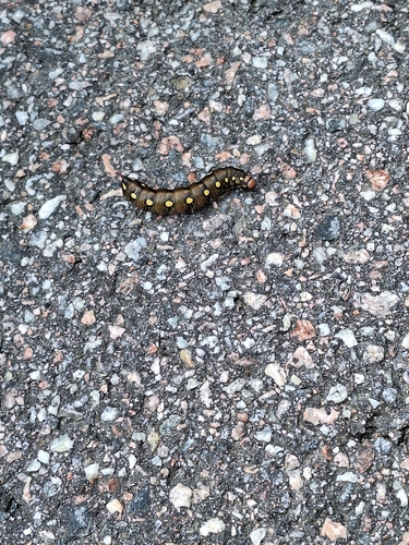
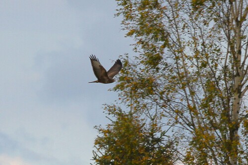
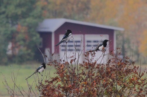
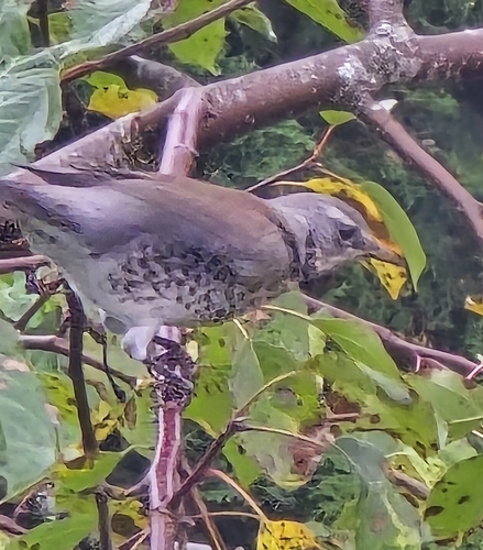
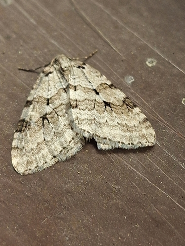
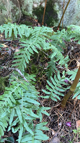
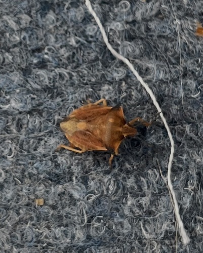
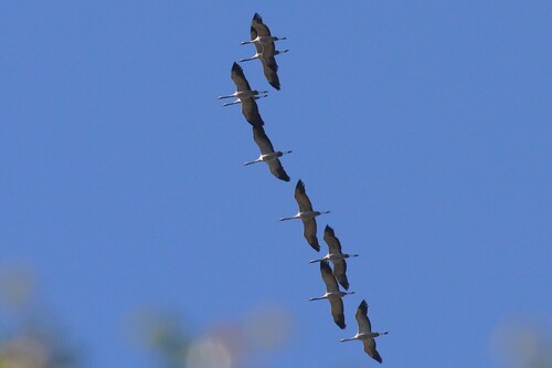
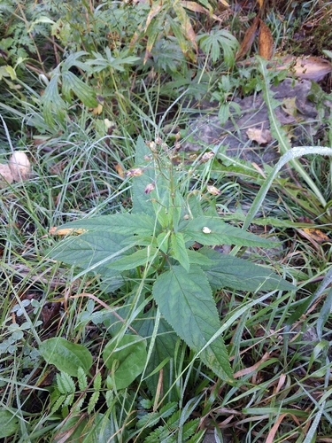
Research-grade observations from iNaturalist (within ~15 mi).
Events
Gallery
Sources
- • Wikipedia
- • Wikidata
- • USGS Earthquake Catalog (global feed)
- • GBIF (Global Biodiversity Information Facility)
- • iNaturalist
- • Open-Meteo / sunrise-sunset.org
- • Wikipedia Pageviews API
- • Wikidata SPARQL (CC0) — population, area, elevation, inception, head of government, Commons image