Browse / Finland / Lapland / Posio
Posio
Laplandtown

Posio
Total population
3,812
Founded
1926
Demographic figures from Statistics Finland. Overview below cites Wikipedia and may reference a different year.
City facts
Sister cities
Facts from Wikidata (CC0).
Overview
Posio is a municipality of Finland. It is located in the region of Lapland. The municipality has a population of 2,826 (31 December 2025) and covers an area of 3,544.90 square kilometres (1,368.69 sq mi) of which 506.14 km2 (195.42 sq mi) is water. The population density is 0.93 inhabitants per square kilometre (2.4/sq mi). Neighbour municipalities are Rovaniemi, Kemijärvi, Ranua, Salla, Kuusamo, Taivalkoski and Pudasjärvi.
Read more on WikipediaHistory & geography
History
The Senate decided to establish a parish at Posio in 1908, but the plan was delayed, in part for want of a church. Posio was finally constituted as a separate parish and municipality at the turn of 1925 and 1926, formed mainly from parts of Kuusamo, with smaller areas taken from Taivalkoski, Pudasjärvi and the rural parish of Rovaniemi. A leading figure in the campaign for the municipality's independence was the farmer Juho Aapo Miekkasaari (1862–1942).
Geography
Posio lies in southern Lapland, between Kuusamo and Rovaniemi. Lakes make up a large part of its area, among them Kitkajärvi, Livojärvi and Suolijärvi. Riisitunturi National Park, known for the hanging bogs on its fells, and the Korouoma canyon and nature reserve lie within the municipality, which also takes in part of Syöte National Park.
Excerpted from the corresponding Wikipedia article (CC BY-SA).
Geography
Coordinates & boundaries from the US Census TIGER/Line shapefiles.
Climate
Air quality
Walkability
Amenities nearby
Wildlife & biodiversity
Earthquake history
Photos
Sights & places nearby
Notable people from here

People born within ~10 km, from Wikidata (CC0). Click any name for their Wikipedia article.
Nearby places in Lapland
- Rovaniemi72.9 mi away · pop. 66,201
- Zrinj Lukački1448.8 mi away · pop. 129
- Novi Gradac1449.3 mi away · pop. 167
- Terezino Polje1449.4 mi away · pop. 269
- Veliko Polje1449.4 mi away · pop. 341
- Kladare1449.6 mi away · pop. 467
- Okrugljača1450.2 mi away · pop. 272
- Žlebina1450.8 mi away · pop. 315
- Detkovac1450.8 mi away · pop. 307
- Stari Gradac1451.5 mi away · pop. 674
- Rušani1451.7 mi away · pop. 477
- Budrovac Lukački1451.9 mi away · pop. 138
Geography & sun
Elevation, sunrise/sunset and daylight from Open-Meteo. Solar climatology from NASA POWER.
Nearby airports
Public attention
Pageview totals from the Wikimedia Pageviews API.
Books about this place
Recent natural events nearby
Ground air-quality sensors
Recently spotted species
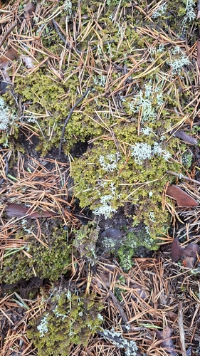
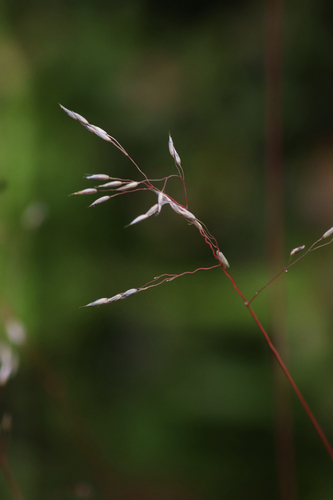
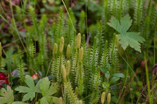
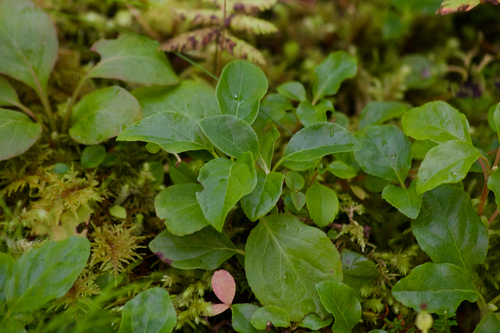
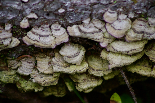
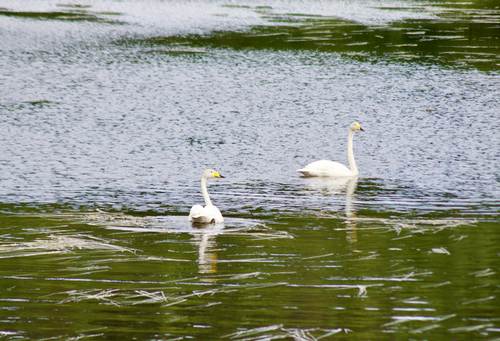
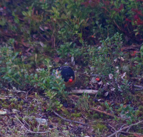
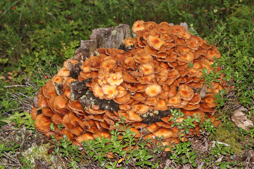
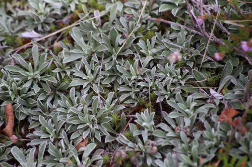
Research-grade observations from iNaturalist (within ~15 mi).
Events
Gallery
Sources
- • Wikipedia
- • Wikidata
- • iNaturalist
- • Open-Meteo / sunrise-sunset.org
- • Wikipedia Pageviews API
- • Wikidata SPARQL (CC0) — population, area, elevation, inception, head of government, Commons image