Browse / Finland / Lapland / Sodankylä
Sodankylä
Laplandtown

Sodankylä
Total population
8,809
Founded
1893
Demographic figures from Statistics Finland. Overview below cites Wikipedia and may reference a different year.
City facts
Facts from Wikidata (CC0).
Overview
Sodankylä is a municipality of Finland. It is located in the region of Lapland, and lies at the northern end of Highway 5 (E63) and along Highway 4 (E75). The Kitinen River flows near the center of Sodankylä. Its neighbouring municipalities are Inari, Kemijärvi, Kittilä, Pelkosenniemi, Rovaniemi, and Savukoski. The municipality has two official languages: Finnish and Northern Sami.
Read more on WikipediaHistory & geography
Geography
Sodankylä lies just north of the Arctic Circle. Sodankylä has a subarctic climate (Koppen: Dfc), with short, mild summers and long, freezing, extremely snowy winters. However global warming has brought more extreme snowfalls, typically an increase. Its extreme northerly location combined with frequent overcast skies leads to very low amounts of sunshine in the winter months; December will average just under two minutes of sunshine daily. Sodankylä experiences polar night between 20 and 23 December and polar day between 31 May and 14 July. The temperature is usually between and , but the all-time temperature range is between recorded on 28 January 1999 and recorded on 18 July 2018.
Excerpted from the corresponding Wikipedia article (CC BY-SA).
Geography
Coordinates & boundaries from the US Census TIGER/Line shapefiles.
Climate
Air quality
Walkability
Amenities nearby
Wildlife & biodiversity
Earthquake history
Photos
Sights & places nearby
Notable people from here


People born within ~10 km, from Wikidata (CC0). Click any name for their Wikipedia article.
Nearby places in Lapland
- Rovaniemi67.5 mi away · pop. 66,201
- Križnica1518.8 mi away · pop. 128
- Zrinj Lukački1520.2 mi away · pop. 129
- Kladare1520.4 mi away · pop. 467
- Terezino Polje1520.8 mi away · pop. 269
- Veliko Polje1520.9 mi away · pop. 341
- Novi Gradac1520.9 mi away · pop. 167
- Okrugljača1521.4 mi away · pop. 272
- Dinjevac1521.8 mi away · pop. 458
- Žlebina1522.4 mi away · pop. 315
- Stari Gradac1522.6 mi away · pop. 674
- Detkovac1522.6 mi away · pop. 307
Geography & sun
Elevation, sunrise/sunset and daylight from Open-Meteo. Solar climatology from NASA POWER.
Nearby airports
Public attention
Pageview totals from the Wikimedia Pageviews API.
Books about this place
Recent natural events nearby
Ground air-quality sensors
Recently spotted species
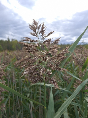
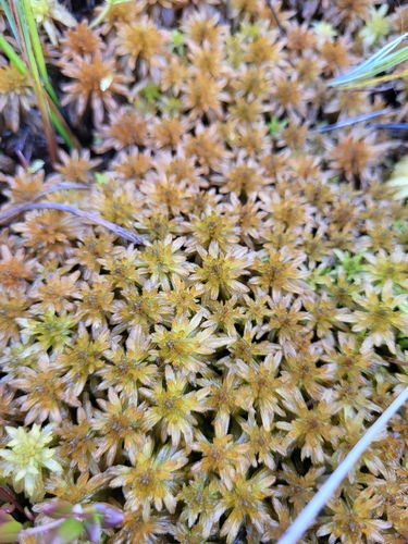
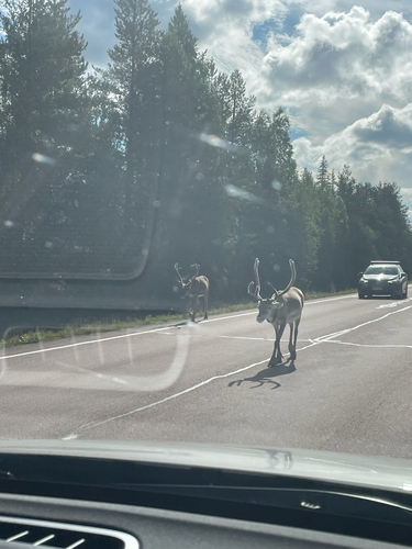
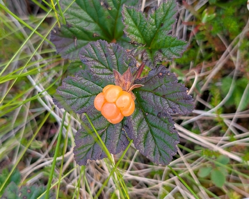
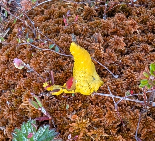
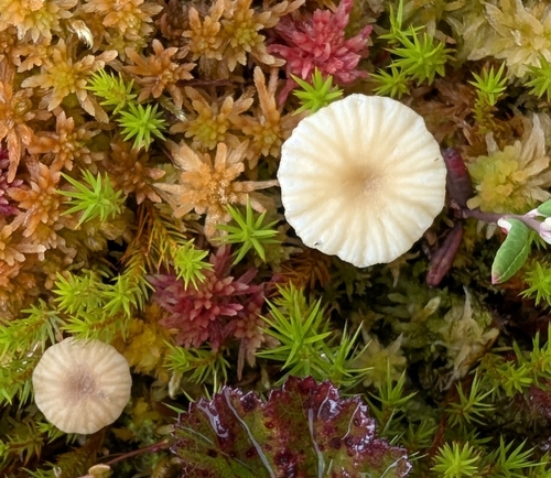
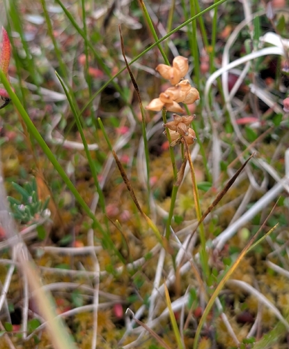
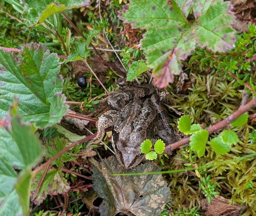
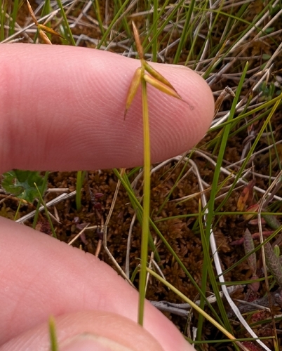
Research-grade observations from iNaturalist (within ~15 mi).
Events
Gallery
Sources
- • Wikipedia
- • Wikidata
- • iNaturalist
- • Open-Meteo / sunrise-sunset.org
- • Wikipedia Pageviews API
- • Wikidata SPARQL (CC0) — population, area, elevation, inception, head of government, Commons image