Browse / Finland / Northern Ostrobothnia / Törmäsenvaara
Törmäsenvaara
Northern Ostrobothniavillage
No image yet
Coordinates65.91°, 29.47°
Demographic figures from Statistics Finland. Overview below cites Wikipedia and may reference a different year.
Loading additional data from public sources…0 / 11
CensusWikipediaWeatherPlacesPeopleEnvironmentHealth & SchoolsRelatedGeography & CultureLive MonitoringEvents & Gallery
0% completeCity facts
Overview
Törmäsenvaara is a village in the town of Kuusamo in North Ostrobothnia, Finland.
Read more on WikipediaHistory & geography
Geography
Latitude
65.9053
Longitude
29.4708
Water area
—
Coordinates & boundaries from the US Census TIGER/Line shapefiles.
Climate
Air quality
Walkability
Amenities nearby
Wildlife & biodiversity
Observations (last 5 yrs, 10 mi)
29,609
Distinct species (top 10)
10
Most-observed species
- Common GoldeneyeBucephala clangula (Linnaeus, 1758) · Aves803
- Great TitParus major Linnaeus, 1758 · Aves734
- Whooper SwanCygnus cygnus (Linnaeus, 1758) · Aves719
- Willow WarblerPhylloscopus trochilus (Linnaeus, 1758) · Aves660
- Little GullHydrocoloeus minutus (Pallas, 1776) · Aves624
- Arctic/Pacific LoonGavia arctica (Linnaeus, 1758) · Aves597
- Red-necked GrebePodiceps grisegena (Boddaert, 1783) · Aves569
- Common ChaffinchFringilla coelebs Linnaeus, 1758 · Aves526
Citizen-science & research observations from the Global Biodiversity Information Facility (GBIF).
Earthquake history
Quakes ≥ 2.5 (25 yrs, 62 mi)
0
Largest magnitude
—
Largest event
—
Events from the USGS Earthquake Catalog (global) (FDSN Event Web Service).
Photos
Sights & places nearby
Notable people from here
Nearby places in Northern Ostrobothnia
- Jääli122.3 mi away
- Muhos125.6 mi away · pop. 8,936
- Pajuniemi136.6 mi away
- Pöllä151.3 mi away
- Duboševica1440 mi away · pop. 393
- Podolje1444.4 mi away · pop. 88
- Šećerana1448.1 mi away · pop. 461
- Kneževi Vinogradi1448.8 mi away · pop. 1,332
- Mirkovac1449 mi away · pop. 64
- Baranjsko Petrovo Selo1451.2 mi away · pop. 434
- Majške Međe1452.2 mi away · pop. 59
- Jagodnjak1453.6 mi away · pop. 990
Geography & sun
Avg solar (kWh/m²/day)
2.27
Annual solar (kWh/m²)
828
Elevation, sunrise/sunset and daylight from Open-Meteo. Solar climatology from NASA POWER.
Nearby airports
Public attention
Wikipedia views (last 30 days)
16
Avg daily Wikipedia views
1
Attention level
Obscure
Pageview totals from the Wikimedia Pageviews API.
Books about this place
Recent natural events nearby
Ground air-quality sensors
Recently spotted species
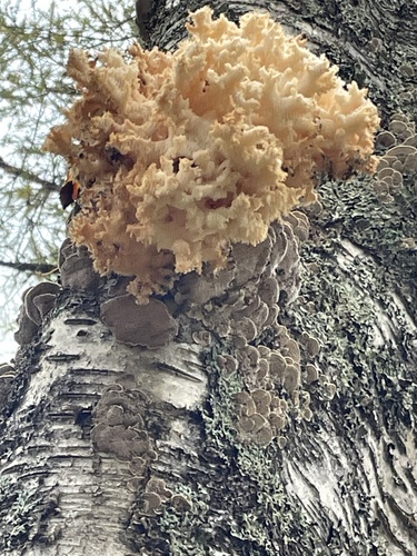
Coral tooth fungus
Hericium coralloides
Seen 2026-10-02
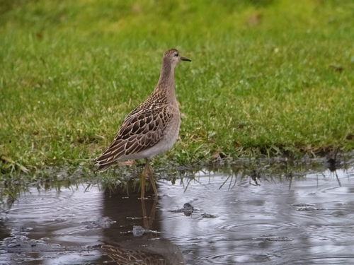
Ruff
Calidris pugnax
Seen 2026-09-24
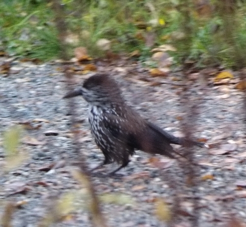
Northern Nutcracker
Nucifraga caryocatactes
Seen 2026-09-24
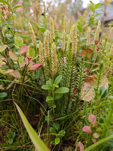
interrupted clubmoss
Spinulum annotinum
Seen 2026-09-16
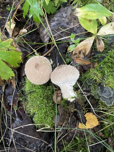
common puffball
Lycoperdon perlatum
Seen 2026-08-23
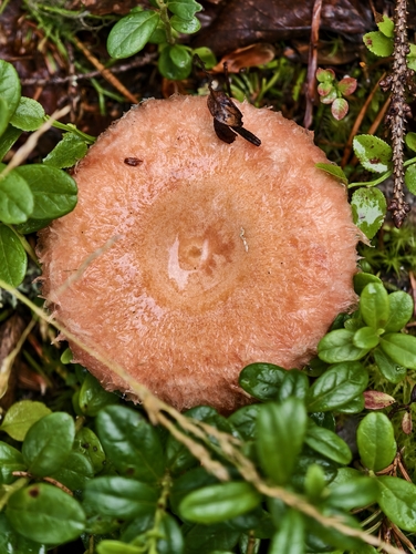
Woolly Milkcap
Lactarius torminosus
Seen 2026-08-19
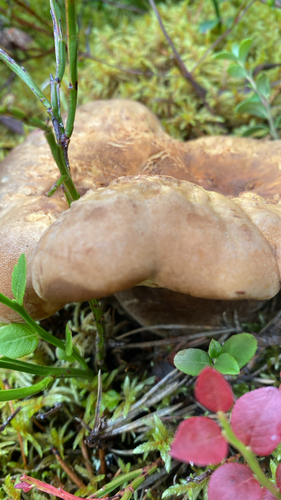
Velvet-footed Tap
Tapinella atrotomentosa
Seen 2026-08-18
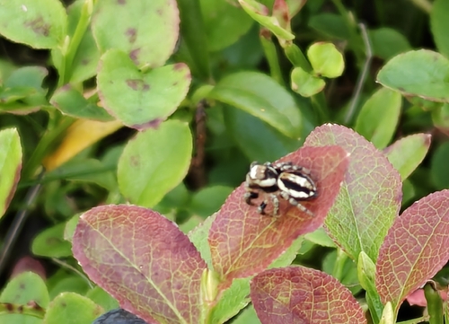
Woodland Jumping Spider
Evarcha falcata
Seen 2026-08-14
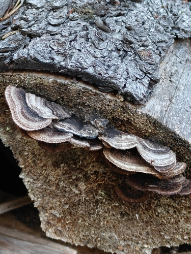
Conifer Mazegill
Gloeophyllum sepiarium
Seen 2026-08-13
Research-grade observations from iNaturalist (within ~15 mi).
Events
Gallery
Sources
- • Wikipedia
- • Wikidata
- • USGS Earthquake Catalog (global feed)
- • GBIF (Global Biodiversity Information Facility)
- • iNaturalist
- • Open-Meteo / sunrise-sunset.org
- • Wikipedia Pageviews API
- • Wikidata SPARQL (CC0) — population, area, elevation, inception, head of government, Commons image