Browse / Finland / Uusimaa / Tuusula
Tuusula
Uusimaatown

Tuusula
Total population
42,521
Founded
1643
Demographic figures from Statistics Finland. Overview below cites Wikipedia and may reference a different year.
City facts
Sister cities
Facts from Wikidata (CC0).
Overview
Tuusula is a municipality in Finland, located in the southern interior of the country. Tuusula is situated in the centre of the Uusimaa region. The population of Tuusula is approximately 42,000. It is the 27th most populous municipality in Finland and the second most populous municipality without city status after Nurmijärvi. Tuusula is part of the Helsinki metropolitan area, which has approximately 1.62 million inhabitants.
Read more on WikipediaHistory & geography
History
The area in what is now Tuusula was located in the larger municipality of Sipoo. It got its current name from its original inhabitants known as the Tuusas (based on the Germanic names Dose or Duse), who settled in the area centuries ago. The historical center called Tuusulan kirkonkylä ("Tuusula church village") was built on the shores of lake in the 16th century. In 1643, it became a separate parish in the municipality, and in 1653, it became a separate municipality. Tuusula's boundaries have not always remained the same: in 1924 the municipality of Kerava split from here; in 1950 the municipality of Korso was split between Tuusula, Kerava, and Sipoo; and in 1951 the municipality of Järvenpää split from here. During the Crimean War (1853–1856), a Russian garrison was stationed in what is now Hyrylä. The modern parish mostly developed around it. Since the departure of the Helsinki Air Defence Regiment, the former garrison area has been redeveloped. The area had always been a fairly fertile area, thus encouraging farming. The development of other industries began in 1795, when an ironworks was created in Kellokoski that functioned until the 1980s. The establishment of a railway in Jokela furthered the growth. Soon after this industrial time another aspect of Tuusulan history was realised. The Tuusulanjärvi lake attracted many artists who wanted to paint the beautiful landscape. Following the footsteps of Aleksis Kivi, the Finnish national poet who spent the last years of his life in a hut on the shores of the lake, Jean Sibelius, Juhani Aho, and Pekka Halonen even established their main residences here. Recently these houses have become tourist sites, especially Sibelius' house Ainola. Also, Tuusula Lake Road on the eastern shore of the lake is an outside museum.…
Geography
Tuusula, lying on the shores of Tuusulanjärvi lake, is located in the province of Southern Finland and is part of the Uusimaa region. It covers an area of of which is water. The most significant main road connection between Hyrylä and Helsinki is the Tuusulanväylä motorway. The neighbouring communes are Vantaa to the south, Nurmijärvi to the west, Hyvinkää to the north, Mäntsälä and Järvenpää to the north east, and Sipoo and Kerava to the east. Huikko, Hyrylä, Jokela, Jäniksenlinna, Kellokoski, Kirkonkylä, Lahela, Myllykylä, Nahkela, Paijala, Riihikallio, Ruotsinkylä, Ruskela, Rusutjärvi, Savikulma, Siippoo, Vanhakylä
Excerpted from the corresponding Wikipedia article (CC BY-SA).
Geography
Coordinates & boundaries from the US Census TIGER/Line shapefiles.
Climate
Air quality
Walkability
Amenities nearby
Wildlife & biodiversity
Most-observed species
- Eurasian Blue TitCyanistes caeruleus (Linnaeus, 1758) · Aves11,693
- Great TitParus major Linnaeus, 1758 · Aves7,827
- Black-headed GullChroicocephalus ridibundus (Linnaeus, 1766) · Aves6,538
- Eurasian BlackbirdTurdus merula Linnaeus, 1758 · Aves4,283
- European Pied FlycatcherFicedula hypoleuca (Pallas, 1764) · Aves3,832
- Garden LupinLupinus polyphyllus Lindl. · Magnoliopsida3,329
- Common ChaffinchFringilla coelebs Linnaeus, 1758 · Aves2,227
- European StarlingSturnus vulgaris Linnaeus, 1758 · Aves2,182
Citizen-science & research observations from the Global Biodiversity Information Facility (GBIF).
Earthquake history
Most recent
- M 2.6 — 2011-03-19Finland
Events from the USGS Earthquake Catalog (global) (FDSN Event Web Service).
Photos
Sights & places nearby
Notable people from here


People born within ~10 km, from Wikidata (CC0). Click any name for their Wikipedia article.
Nearby places in Uusimaa
- Röykkä14.2 mi away
- Pippuri32.3 mi away
- Mo i Rana528.2 mi away · pop. 18,739
- Jelovice1124 mi away · pop. 17
- Vodice1124 mi away · pop. 16
- Dane1125.1 mi away · pop. 9
- Rašpor1126.5 mi away · pop. 3
- Klenovšćak1126.8 mi away · pop. 6
- Kropinjak1127.1 mi away · pop. 4
- Račja Vas1127.1 mi away · pop. 25
- Prapoće1127.6 mi away · pop. 28
- Lanišće1128 mi away · pop. 88
Geography & sun
Elevation, sunrise/sunset and daylight from Open-Meteo. Solar climatology from NASA POWER.
Nearby airports
Public attention
Pageview totals from the Wikimedia Pageviews API.
Books about this place
Recent natural events nearby
Ground air-quality sensors
Recently spotted species
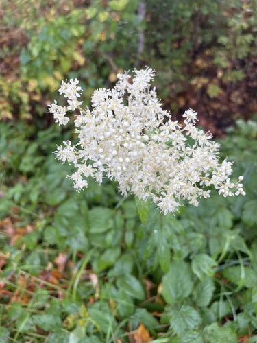
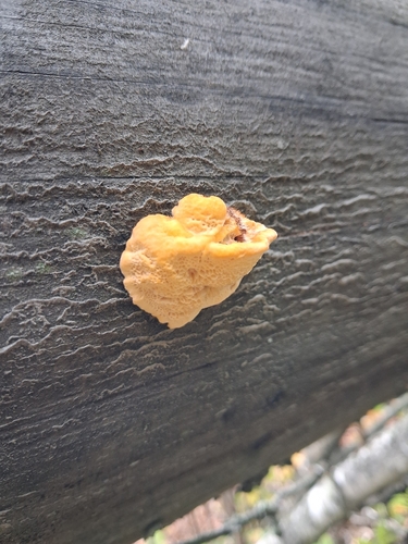
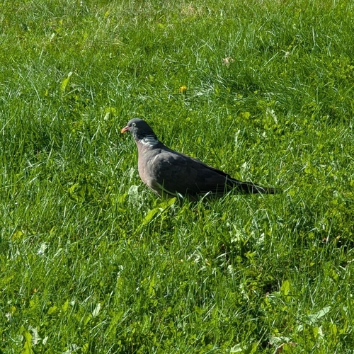
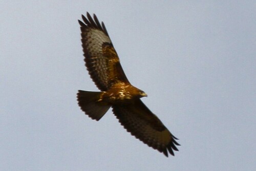
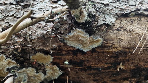
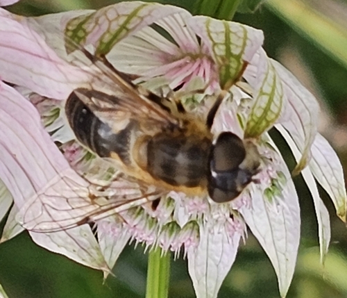
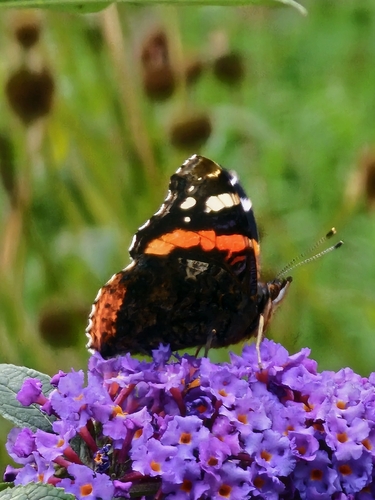
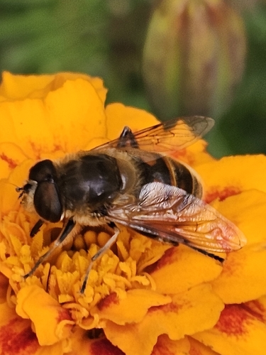
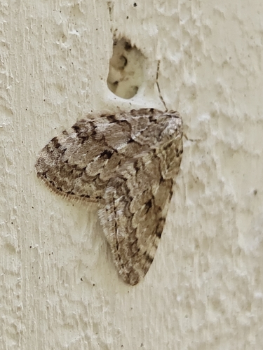
Research-grade observations from iNaturalist (within ~15 mi).
Events
Gallery
Sources
- • Wikipedia
- • Wikidata
- • USGS Earthquake Catalog (global feed)
- • GBIF (Global Biodiversity Information Facility)
- • iNaturalist
- • Open-Meteo / sunrise-sunset.org
- • Wikipedia Pageviews API
- • Wikidata SPARQL (CC0) — population, area, elevation, inception, head of government, Commons image