Browse / Finland / Central Finland / Viitasaari
Viitasaari
Central Finlandtown

Viitasaari
Total population
6,652
Founded
1635
Demographic figures from Statistics Finland. Overview below cites Wikipedia and may reference a different year.
City facts
Sister cities
Facts from Wikidata (CC0).
Overview
Viitasaari is a Finnish town and municipality located in the Central Finland region. It is located between the neighbouring municipalities of Pihtipudas to the north and Äänekoski to the south. The town has a population of 5,695 (31 December 2025) and covers an area of 1,589.13 square kilometres (613.57 sq mi) of which 340.43 km2 (131.44 sq mi), or 21%, is water. There are altogether 230 lakes in Viitasaari. The biggest lakes are Lake Keitele, Lake Kolima and Muuruejärvi. The population density is 4.56 inhabitants per square kilometre (11.8/sq mi).
Read more on WikipediaHistory & geography
Geography
Coordinates & boundaries from the US Census TIGER/Line shapefiles.
Climate
Air quality
Walkability
Amenities nearby
Wildlife & biodiversity
Earthquake history
Photos
Sights & places nearby
Notable people from here


People born within ~10 km, from Wikidata (CC0). Click any name for their Wikipedia article.
Nearby places in Central Finland
- Tići1292.8 mi away · pop. 48
- Hlevci1295 mi away · pop. 17
- Homer1300 mi away · pop. 272
- Studena1300.1 mi away · pop. 382
- Zarnevo1345.4 mi away · pop. 1,300
- Azinhal2262.2 mi away · pop. 271
- Vaqueiros2262.8 mi away · pop. 58
- Cabanas de Tavira2274.8 mi away
- Santo Estêvão2278.2 mi away
- Querença2280.7 mi away · pop. 35
- Moncarapacho2282.7 mi away · pop. 1,192
- Quelfes2285.1 mi away
Geography & sun
Elevation, sunrise/sunset and daylight from Open-Meteo. Solar climatology from NASA POWER.
Nearby airports
Public attention
Pageview totals from the Wikimedia Pageviews API.
Books about Viitasaari
Search results from Open Library.
Recent natural events nearby
Ground air-quality sensors
Recently spotted species
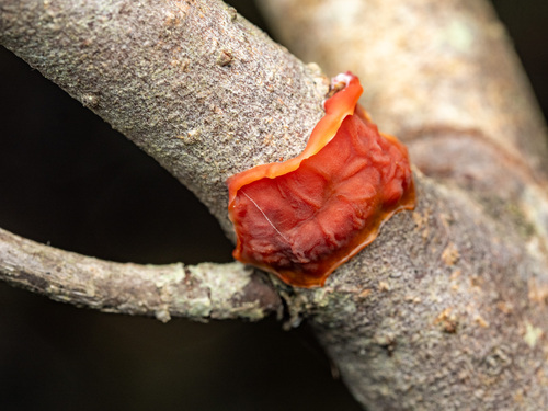
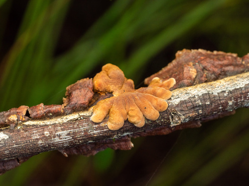
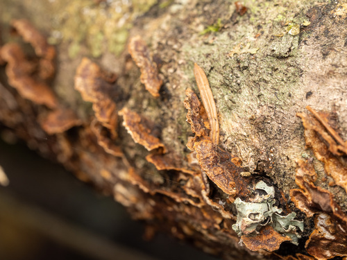
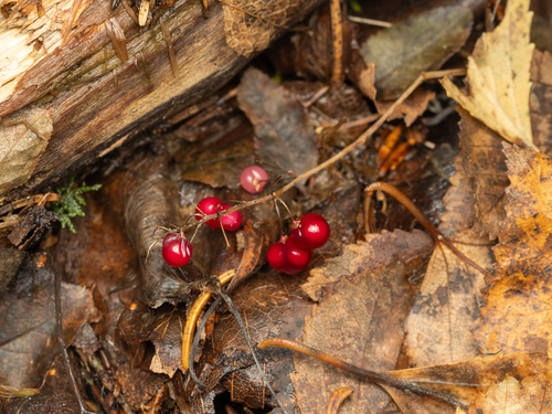
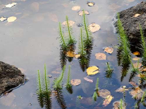
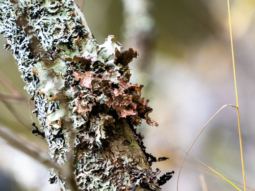
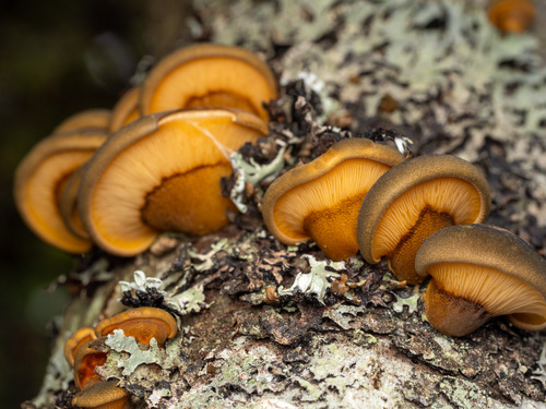
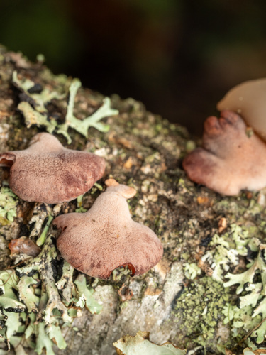
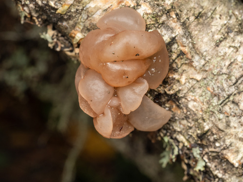
Research-grade observations from iNaturalist (within ~15 mi).
Events
Gallery
Official Identifiers
Tilastokeskus — Statistics Finland
- Kuntanumero
- FIVSI
- Population (Wikidata)
- 5,877
- Wikidata
- Q935847
Kuntanumero via Wikidata P1937
Sources
- • Wikipedia
- • Wikidata
- • iNaturalist
- • Open-Meteo / sunrise-sunset.org
- • Wikipedia Pageviews API
- • Open Library
- • Wikidata SPARQL (CC0) — population, area, elevation, inception, head of government, Commons image
- • Tilastokeskus — Statistics Finland — Kuntanumero via Wikidata P1937