Browse / France / Île-de-France / Aubervilliers
Aubervilliers
Île-de-Francetown

Aubervilliers
Total population
90,071
Air quality index
Demographic figures from INSEE. Overview below cites Wikipedia and may reference a different year.
City facts
Facts from Wikidata (CC0).
Overview
Aubervilliers is a commune in the Seine-Saint-Denis department, Île-de-France region, northeastern suburbs of Paris, France.
Read more on WikipediaHistory & geography
History
As with many communes in the outer suburbs the town had long been a rural area. Formerly known as Notre-Dame-des-Vertus, the village was on a plain which produced the best vegetables around Paris. Aubervilliers first appears in the archives in 1059 as Albertivillare, meaning "estate of Adalbert". In the following year Henry I donated it to the Priory of Saint-Martin-des-Champs. In 1111 the serfs were freed in Aubervilliers. In 1182 the priory of Saint-Martin-des-Champs, located in Paris, granted Paris butchers the right to freely graze their cattle in the fields after the harvest was over. In 1221, Guillaume Bateste, lord of Franconville, became the first Lord of Vivier les Aubervilliers. The church, which at the beginning of the 13th century depended on one of the parishes of Saint Denis, soon became famous for the miraculous appearance of an image of the Virgin. In 1336 Father Jacques Du Breul, Prior of the Abbey of Saint-Germain-des-Prés, reported the Miracle of the rain: A young girl busy preparing flowers to adorn the statue of the Virgin in the church saw her face streaming with tears when the rain began to fall on the parched crops. In 1338 King Philip VI of France and his queen went to Aubervilliers to visit the image. From 1340 to 1792 people went there in droves each year from Paris and its surroundings. In 1402 Michel de Laillier, Lord of Ermenonville, became Lord of Vivier les Aubervilliers. In 1429 the town was occupied by the English but was retaken by Michel de Laillier in 1436. Louis XI went there in November 1474 to the house of Pierre L’Orfèvre, the new Lord of Vivier from then until August 1478. The image of the Virgin in lead that the king wore on his hat was a representation of the one at Aubervilliers. In 1531 the Lordship of Vivier les…
Geography
Aubervilliers is one of three communes in the Plaine Saint-Denis, north-east of the centre of Paris. The Canal Saint-Denis traverses the commune on the western side from north to south. Aubervilliers is a commune close to Paris and has numerous means of transport including: the A86 autoroute from L'Île-Saint-Denis in the west to Drancy in the east with Exit 9 on the northern border of the commune, Route nationale N301 from Stains in the north and joining the Paris ring road in the south, the D20 from Gennevilliers in the west, the D27 from Bobigny in the east, and the D115 from Pantin in the south-east. The Paris ring road is just outside the southern border of the commune and there are two access routes to it: by the Porte d'Aubervilliers and by the Porte de la Villette. These roads provide easy access to the network of roads and motorways around Paris as well as Le Bourget and Charles de Gaulle airports. The Canal Saint-Denis once had important river ports and there was the Paris-Hirson railway and an industrial railway for Saint-Denis/Aubervilliers which served the Plaine Saint-Denis. The RER railway passes through the north of the commune and the station of La Courneuve-Aubervilliers, located just north of the commune on the N301 road, serves Aubervilliers. There are also two Metro stations on the south-western border on Avenue Jean-Jaures: Aubervilliers-Pantin-Quatre Chemins at the corner of Ave. de la Republique, and Fort d'Aubervilliers at the corner of Ave. de la Division Leclerc. The commune is served by: * Paris Métro Line 7 : stations Aubervilliers-Pantin-Quatre Chemins and Fort d'Aubervilliers; * Sixteen bus routes: ; * Gare de La Plaine-Stade de France: as far as Saint-Denis and Aubervilliers; * Gare de La Courneuve - Aubervilliers: located in…
Excerpted from the corresponding Wikipedia article (CC BY-SA).
Geography
Coordinates & boundaries from the US Census TIGER/Line shapefiles.
Climate
10-year averages from ERA5 reanalysis (Open-Meteo).
Air quality
Current readings from Open-Meteo Air Quality API (Copernicus CAMS European reanalysis).
Walkability
Amenities nearby
Wildlife & biodiversity
Most-observed species
- Common Wood-PigeonColumba palumbus Linnaeus, 1758 · Aves19,847
- Carrion CrowCorvus corone Linnaeus, 1758 · Aves19,083
- Great TitParus major Linnaeus, 1758 · Aves18,648
- Eurasian MagpiePica pica (Linnaeus, 1758) · Aves15,749
- Rose-ringed ParakeetPsittacula krameri (Scopoli, 1769) · Aves15,522
- Eurasian BlackbirdTurdus merula Linnaeus, 1758 · Aves14,887
- Rock PigeonColumba livia J.F.Gmelin, 1789 · Aves14,675
- Eurasian Blue TitCyanistes caeruleus (Linnaeus, 1758) · Aves14,168
Citizen-science & research observations from the Global Biodiversity Information Facility (GBIF).
Earthquake history
Most recent
- M 3.1 — 2005-06-013 km N of Grandvilliers, France
Events from the USGS Earthquake Catalog (global) (FDSN Event Web Service).
Photos
Sights & places nearby
Notable people from here
Nearby places in Île-de-France
- La Courneuve0.9 mi away · pop. 47,160
- Saint-Denis1.8 mi away · pop. 113,942
- L'Île-Saint-Denis2.4 mi away · pop. 8,664
- Dugny3.1 mi away · pop. 11,328
- Montmorency5.9 mi away · pop. 21,870
- Courbevoie5.9 mi away · pop. 81,516
- Villiers-le-Bel6.4 mi away · pop. 28,836
- Piscop7 mi away · pop. 706
- Saint-Maurice7.2 mi away · pop. 14,603
- Andilly7.3 mi away · pop. 2,697
- Margency7.4 mi away · pop. 2,896
- Malakoff7.4 mi away · pop. 30,292
Geography & sun
Elevation, sunrise/sunset and daylight from Open-Meteo. Solar climatology from NASA POWER.
Nearby airports
Public attention
Pageview totals from the Wikimedia Pageviews API.
Books about Aubervilliers
Search results from Open Library.
Recent natural events nearby
Ground air-quality sensors
Recently spotted species

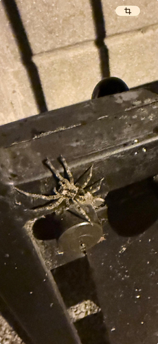
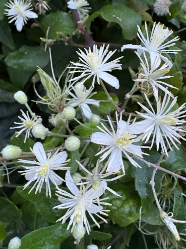

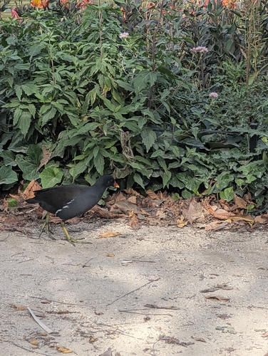
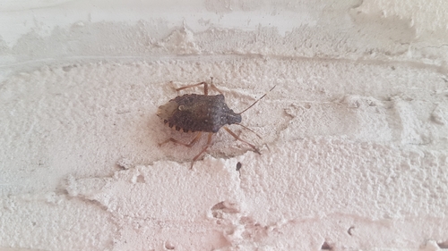
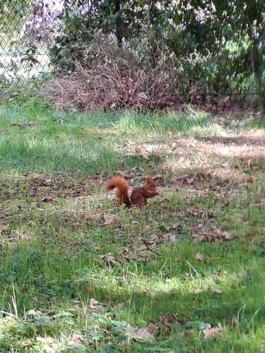
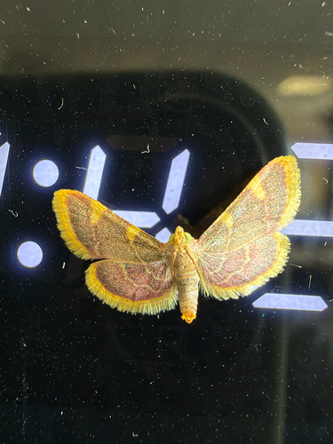
Research-grade observations from iNaturalist (within ~15 mi).
Events
Gallery
Geotagged photos within ~6 miles of Aubervilliers, from Wikimedia Commons contributors.


_-_2022-05-24_-_1.jpg)
_-_2022-05-24_-_2.jpg)
_-_2022-05-24_-_3.jpg)
_-_2022-07-11_-_2.jpg)
_-_2022-07-11_-_1.jpg)
_-_2022-07-11_-_3.jpg)
_-_2022-07-11_-_4.jpg)
_-_2022-07-11_-_5.jpg)
_-_2022-07-11_-_1.jpg)
_-_2022-07-11_-_2.jpg)
_-_2022-07-11_-_1.jpg)
_-_2022-07-11_-_2.jpg)
_-_2022-07-11_-_3.jpg)
Photos via Wikimedia Commons — see each image page for license & attribution.
Official Identifiers
INSEE — French National Institute of Statistics
- INSEE code
- 93001
- Department
- 93
- Region
- 11
- Population (Wikidata)
- 88,365
geo.api.gouv.fr
Sources
- • Wikipedia
- • Open-Meteo (ERA5 reanalysis)
- • Wikimedia Commons
- • Wikidata
- • Open-Meteo Air Quality (CAMS)
- • USGS Earthquake Catalog (global feed)
- • GBIF (Global Biodiversity Information Facility)
- • iNaturalist
- • Open-Meteo / sunrise-sunset.org
- • Wikipedia Pageviews API
- • Open Library
- • Wikidata SPARQL (CC0) — population, area, elevation, inception, head of government, Commons image
- • INSEE — French national statistics, via geo.api.gouv.fr (official commune code, population, surface, department, region)
- • INSEE — French National Institute of Statistics — geo.api.gouv.fr