Browse / France / Île-de-France / La Courneuve
La Courneuve
Île-de-Francetown

La Courneuve
Total population
47,160
Demographic figures from INSEE. Overview below cites Wikipedia and may reference a different year.
City facts
Facts from Wikidata (CC0).
Overview
La Courneuve is a commune in Seine-Saint-Denis, France. It is located 8.3 km (5.2 mi) from the center of Paris.
Read more on WikipediaHistory & geography
History
The name La Courneuve derives from the Latin curtis nova meaning the 'new court/estate'. Inhabited since pre-Roman times, the area is thought to have been a small village up through the Middle Ages. With its proximity to Paris, it soon became a fashionable country destination, with a number of gentry residing there. It had two notable châteaux - Sainte-Foi and Poitronville. Towards the end of Napoleon's reign, the entire area experienced large population growth. This along with improved methods of farming eventually transformed the area into the major legume producer for the Paris regional. In 1863, the first major industrial enterprise was introduced and the area soon became a strange mix of factories and farmlands. Industrial estates were juxtaposed with bean plantations and that would continue until after World War II. The Hôtel de Ville was completed in 1921. During the 1960s, as Paris could no longer meet the demands of a further exploding population, La Courneuve, like many other suburbs of Paris, was designated as one of the "zones à urbaniser en priorité" (areas to be urbanized quickly) and was built up at a very rapid pace, with the construction of large council estates and tower blocks and other HLM developments. Between 1962 and 1968 the population nearly doubled.
Excerpted from the corresponding Wikipedia article (CC BY-SA).
Geography
Coordinates & boundaries from the US Census TIGER/Line shapefiles.
Climate
Air quality
Walkability
Amenities nearby
Wildlife & biodiversity
Earthquake history
Photos
Sights & places nearby
Notable people from here
Nearby places in Île-de-France
- Aubervilliers0.9 mi away · pop. 90,071
- Saint-Denis1.6 mi away · pop. 113,942
- Dugny2.2 mi away · pop. 11,328
- L'Île-Saint-Denis2.3 mi away · pop. 8,664
- Enghien-les-Bains4.8 mi away · pop. 11,440
- Saint-Brice-sous-Forêt5.1 mi away · pop. 15,209
- Les Pavillons-sous-Bois5.3 mi away · pop. 24,165
- Montmorency5.4 mi away · pop. 21,870
- Paris5.4 mi away · pop. 2,133,111
- Bois-Colombes5.6 mi away · pop. 29,765
- Villiers-le-Bel5.6 mi away · pop. 28,836
- Saint-Mandé5.9 mi away · pop. 21,195
Geography & sun
Elevation, sunrise/sunset and daylight from Open-Meteo. Solar climatology from NASA POWER.
Nearby airports
Public attention
Pageview totals from the Wikimedia Pageviews API.
Books about La Courneuve
Search results from Open Library.
Recent natural events nearby
Ground air-quality sensors
Recently spotted species
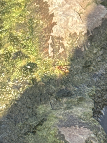
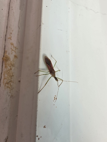
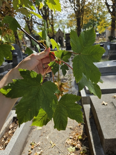
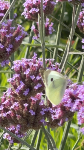
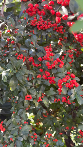
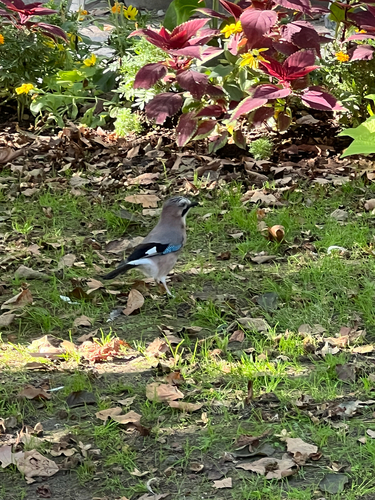
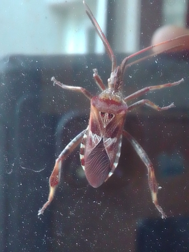
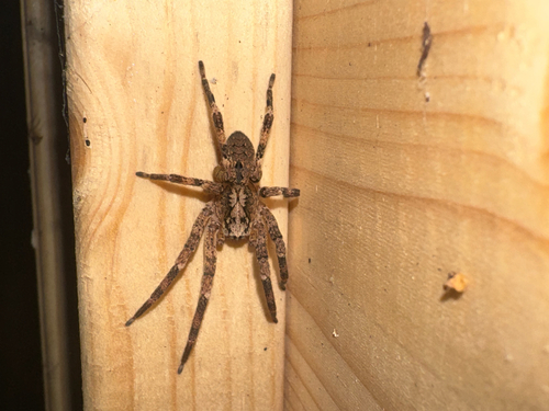
Research-grade observations from iNaturalist (within ~15 mi).
Events
Gallery
Official Identifiers
INSEE — French National Institute of Statistics
- INSEE code
- 93027
- Department
- 93
- Region
- 11
- Population (Wikidata)
- 47,167
geo.api.gouv.fr
Sources
- • Wikipedia
- • Wikidata
- • iNaturalist
- • Open-Meteo / sunrise-sunset.org
- • Wikipedia Pageviews API
- • Open Library
- • Wikidata SPARQL (CC0) — population, area, elevation, inception, head of government, Commons image
- • INSEE — French national statistics, via geo.api.gouv.fr (official commune code, population, surface, department, region)
- • INSEE — French National Institute of Statistics — geo.api.gouv.fr