Browse / France / Île-de-France / Enghien-les-Bains
Enghien-les-Bains
Île-de-Francetown

Enghien-les-Bains
Total population
11,440
Founded
1850
Demographic figures from INSEE. Overview below cites Wikipedia and may reference a different year.
City facts
Sister cities
Facts from Wikidata (CC0).
Overview
Enghien-les-Bains or simply Enghien is a commune in the department of Val-d'Oise, France. It is located in the northern outer suburbs of Paris on the departmental border with Seine-Saint-Denis, 13.5 kilometres (8.4 mi) from the centre of Paris.
Read more on WikipediaHistory & geography
History
Before the French Revolution, what is now Enghien-les-Bains was a lake and a marshland under the jurisdiction of Montmorency. In 1766, a priest at the oratory of Montmorency discovered a warm sulphur spring near the lake of Enghien, and the area began to develop as a spa resort. At the creation of the communes in 1790, during the French Revolution, the area of Enghien was withdrawn from the jurisdiction of Montmorency and divided between several communes. In the nineteenth century, the development of Enghien led to its incorporation as a commune. The commune, which was named Enghien-les-Bains, was created on 7 August 1850 by detaching a part of the territory of Deuil-la-Barre and merging it with a part of the territory of Saint-Gratien, a part of the territory of Soisy-sous-Montmorency, and a part of the territory of Épinay-sur-Seine.
Excerpted from the corresponding Wikipedia article (CC BY-SA).
Geography
Coordinates & boundaries from the US Census TIGER/Line shapefiles.
Climate
Air quality
Walkability
Amenities nearby
Wildlife & biodiversity
Most-observed species
- Common Wood-PigeonColumba palumbus Linnaeus, 1758 · Aves17,037
- Carrion CrowCorvus corone Linnaeus, 1758 · Aves16,322
- Great TitParus major Linnaeus, 1758 · Aves14,911
- Eurasian BlackbirdTurdus merula Linnaeus, 1758 · Aves12,974
- Eurasian MagpiePica pica (Linnaeus, 1758) · Aves12,690
- Rock PigeonColumba livia J.F.Gmelin, 1789 · Aves12,628
- Rose-ringed ParakeetPsittacula krameri (Scopoli, 1769) · Aves12,437
- Eurasian Blue TitCyanistes caeruleus (Linnaeus, 1758) · Aves11,645
Citizen-science & research observations from the Global Biodiversity Information Facility (GBIF).
Earthquake history
Most recent
- M 3.1 — 2005-06-013 km N of Grandvilliers, France
Events from the USGS Earthquake Catalog (global) (FDSN Event Web Service).
Photos
Sights & places nearby
Notable people from here


People born within ~10 km, from Wikidata (CC0). Click any name for their Wikipedia article.
Nearby places in Île-de-France
- Montmorency1.4 mi away · pop. 21,870
- Margency2.4 mi away · pop. 2,896
- Andilly2.5 mi away · pop. 2,697
- L'Île-Saint-Denis2.8 mi away · pop. 8,664
- Saint-Denis3.3 mi away · pop. 113,942
- Piscop3.3 mi away · pop. 706
- Bois-Colombes4.2 mi away · pop. 29,765
- Saint-Leu-la-Forêt4.4 mi away · pop. 15,979
- Villiers-le-Bel4.5 mi away · pop. 28,836
- La Courneuve4.8 mi away · pop. 47,160
- Dugny5 mi away · pop. 11,328
- Aubervilliers5.1 mi away · pop. 90,071
Geography & sun
Nearby airports
Public attention
Books about this place
Recent natural events nearby
Ground air-quality sensors
Recently spotted species
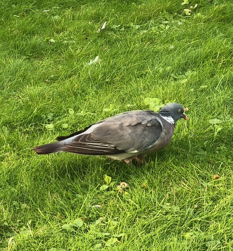
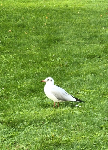
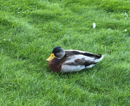
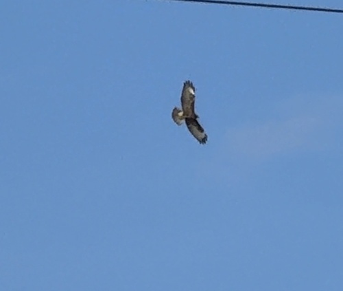
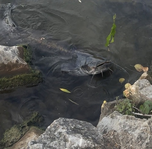
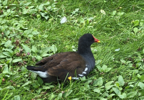
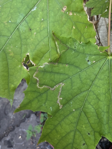

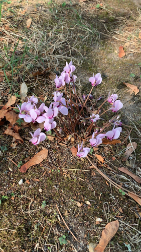
Research-grade observations from iNaturalist (within ~15 mi).
Events
Gallery
Official Identifiers
INSEE — French National Institute of Statistics
- INSEE code
- 95210
- Department
- 95
- Region
- 11
- Population (Wikidata)
- 11,432
geo.api.gouv.fr
Sources
- • Wikipedia
- • Wikidata
- • USGS Earthquake Catalog (global feed)
- • GBIF (Global Biodiversity Information Facility)
- • iNaturalist
- • Wikidata SPARQL (CC0) — population, area, elevation, inception, head of government, Commons image
- • INSEE — French national statistics, via geo.api.gouv.fr (official commune code, population, surface, department, region)
- • INSEE — French National Institute of Statistics — geo.api.gouv.fr