Browse / France / Centre-Val de Loire / Chambourg-sur-Indre
Chambourg-sur-Indre
Centre-Val de Loirevillage

Chambourg-sur-Indre
Total population
1,236
Air quality index
Demographic figures from INSEE. Overview below cites Wikipedia and may reference a different year.
City facts
Facts from Wikidata (CC0).
Overview
Chambourg-sur-Indre is a commune in the department of Indre-et-Loire in the region of Centre-Val de Loire, France.
Read more on WikipediaHistory & geography
History
The oldest traces of human presence on the site Chambourg-sur-Indre manifest themselves in the form of a racloir (scraper), a typical tool of Mousterian, found by chance during a survey of soil in the forest of Loches; Neolithic tools were also found. We presume the existence of a Neolithic settlement at a place called "Chatres". The possible origin of the place name in the Gallo-Roman CASTRU (from the Latin castrum "fortified camp") and the layout "limited to a promontory east through the valley of the Indr The Gallo-Roman site at Cornillé, on the left bank of the Indre upstream of the town contains reticulated walls (opus reticulatum) that were still visible at the beginning of the nineteenth century, and a hypocaust (underfloor heating) and the remains of an aqueduct; in 2014 the only remaining portions of walls in basements. (way station). On the right bank of the Indre, between Corbery (village of Loches) and Auger Island on Chambourg-sur-Indre, D25 follows almost exactly an ancient road There is a medieval bridge on Auger Island nicknamed "Roman bridge" on many documents (maps [Institut géographique national|National Geographic Institute (IGN)] ] for example) and on the signs. Chambourg was promoted to the rank of Viguerie in the ninth century; At the end of the tenth century early eleventh century, the Count of Anjou and the house of Blois fought over Touraine, snatching and taking each other's territories. No document seems to mention such problems for Chambourg. In the Middle Ages, Chambourg was a fief, subordinate to Castle Bray, which was named at that time, Reignac-sur-Indre in the thirteenth to fifteenth centuries. In the seventeenth century, Chambourg was one of eighteen priories subject to the Benedictine Abbey of Cormery. However, the monks of the…
Geography
The town of Chambourg-sur-Indre is located in the southeast quadrant of the Indre-et-Loire department, in the historical region of Touraine. Chambourg-sur-Indre is located at southeast of Tours (prefecture of the Indre-et-Loire department), as the crow flies and north of Loches. The main geological formation Chambourg-sur-Indre is Cenomanian sandstone, deposited about 95 million years (Ma) ago by a sea that covered Touraine. Deposits laid on top of this are a yellow Turonian limestone (deposited 90 Ma), then a layer of Senonian chalk (between 89 and 65.5 Ma); the sea receded at the end of this period, which corresponds to the end of Mesozoic era. In the northwest corner of the commune, a different seas deposited the limestone lake in the middle and the end of the Eocene epoch (37 to 34 Ma), characteristic of the small fertile agricultural region of Champeigne tourangelle. The rest of the plateau is irregularly covered with loess (wind blown sediment) from the Quaternary period, forms an infertile soil called "bournais". The valleys of the Indre and its tributaries, which have cut the base of the limestone plateau during alternating glacial and interglacial periods of the Pleistocene, are covered with recent alluvium, giving the soil a hydromorphous tendency, often with a shallow water table. The slopes between the plateau and the valleys are eroded washed silt or gravel deposits and clay from the Turonian and Senonian strata; this type of soil is called "perruche" (parakeet) in the Loire Valley. The land area of Chambourg-sur-Indre is 28.4 km2 (in 2018), the average area of a French commune being 15.8 km2. The altitude of this area varies between and . The lowest point is on the edge of Indre within the municipal boundary of Azay-sur-Indre and the…
Excerpted from the corresponding Wikipedia article (CC BY-SA).
Geography
Coordinates & boundaries from the US Census TIGER/Line shapefiles.
Climate
Air quality
Current readings from Open-Meteo Air Quality API (Copernicus CAMS European reanalysis).
Walkability
Amenities nearby
Wildlife & biodiversity
Most-observed species
- Common Wood-PigeonColumba palumbus Linnaeus, 1758 · Aves592
- Alcon BlueMaculinea alcon (Denis & Schiffermüller), 1776 · Insecta592
- European RobinErithacus rubecula (Linnaeus, 1758) · Aves555
- Common ChaffinchFringilla coelebs Linnaeus, 1758 · Aves528
- Eurasian BlackbirdTurdus merula Linnaeus, 1758 · Aves495
- Great TitParus major Linnaeus, 1758 · Aves494
- Eurasian Blue TitCyanistes caeruleus (Linnaeus, 1758) · Aves481
- Little BustardTetrax tetrax (Linnaeus, 1758) · Aves469
Citizen-science & research observations from the Global Biodiversity Information Facility (GBIF).
Earthquake history
Most recent
- M 4.2 — 2016-05-026 km SE of L'Île-Bouchard, France
- M 4 — 2010-07-255 km ENE of Saint-Maurice-la-Clouère, France
- M 2.7 — 2008-11-0612 km W of Saint-Gervais-les-Trois-Clochers, France
- M 2.6 — 2008-11-054 km NNE of Mézières-en-Brenne, France
- M 2.5 — 2008-09-181 km W of Ambillou, France
- M 3 — 2008-06-073 km ENE of Cangey, France
Events from the USGS Earthquake Catalog (global) (FDSN Event Web Service).
Photos
Sights & places nearby
Notable people from here


People born within ~10 km, from Wikidata (CC0). Click any name for their Wikipedia article.
Nearby places in Centre-Val de Loire
- Chanceaux-près-Loches2.8 mi away · pop. 115
- Loches4 mi away · pop. 6,180
- Beaulieu-lès-Loches4.3 mi away · pop. 1,759
- Genillé6 mi away · pop. 1,492
- Perrusson6.1 mi away · pop. 1,436
- Luzillé7 mi away · pop. 961
- Vou8.4 mi away · pop. 238
- Cormery8.6 mi away · pop. 1,818
- Le Louroux8.7 mi away · pop. 529
- Manthelan8.8 mi away · pop. 1,367
- Saint-Senoch9.4 mi away · pop. 518
- Saint-Branchs9.8 mi away · pop. 2,625
Geography & sun
Nearby airports
Public attention
Books about this place
Recent natural events nearby
Ground air-quality sensors
Recently spotted species
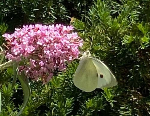
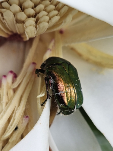
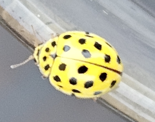
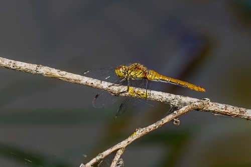
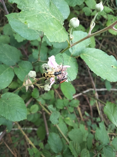
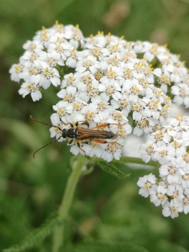
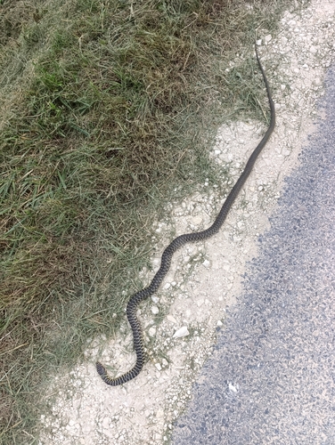
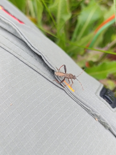
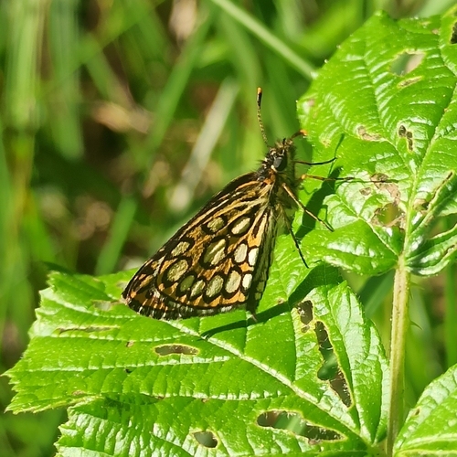
Research-grade observations from iNaturalist (within ~15 mi).
Events
Gallery
Official Identifiers
INSEE — French National Institute of Statistics
- INSEE code
- 37049
- Department
- 37
- Region
- 24
- Population (Wikidata)
- 1,265
geo.api.gouv.fr
Sources
- • Wikipedia
- • Wikidata
- • Open-Meteo Air Quality (CAMS)
- • USGS Earthquake Catalog (global feed)
- • GBIF (Global Biodiversity Information Facility)
- • iNaturalist
- • INSEE — French national statistics, via geo.api.gouv.fr (official commune code, population, surface, department, region)
- • INSEE — French National Institute of Statistics — geo.api.gouv.fr