Browse / France / Provence-Alpes-Côte d'Azur / Colmars
Colmars
Provence-Alpes-Côte d'Azurvillage

Colmars
Total population
513
Demographic figures from INSEE. Overview below cites Wikipedia and may reference a different year.
City facts
Facts from Wikidata (CC0).
Overview
Colmars or Colmars-les-Alpes is a commune in the Alpes-de-Haute-Provence department in southeastern France.
Read more on WikipediaHistory & geography
History
The name of the village comes from a hill dedicated to Mars by the Romans ("Collo Marto"). The village was originally situated further up a hill, but the site was judged to be too cramped and not possible to expand any further, so it was abandoned. It was destroyed by Raymond de Turenne in 1390. In the French Wars of Religion, the site was the target of several attacks: * Paulon de Mauvans, a Protestant captain, pillaged the village in 1560; * Cartier, a captain operating on behalf of de Mauvans, took and ransomed the village in 1583; * The French Catholic League sacked the village a few years later.
Geography
The village is situated at the confluence of the rivers Verdon and Lance, at an altitude of 1250 metres. The site of the village is a site inscrit, a site of special natural, scientific or historical interest. There are two other hamlets in the commune: Clignon-Haut and Clignon-Bas.
Excerpted from the corresponding Wikipedia article (CC BY-SA).
Geography
Coordinates & boundaries from the US Census TIGER/Line shapefiles.
Climate
Air quality
Walkability
Amenities nearby
Wildlife & biodiversity
Most-observed species
- Eurasian GriffonGyps fulvus (Hablizl, 1783) · Aves381
- Alpine marmotMarmota marmota (Linnaeus, 1758) · Mammalia368
- Marbled WhiteMelanargia galathea Linnaeus, 1758 · Insecta313
- Common ChaffinchFringilla coelebs Linnaeus, 1758 · Aves301
- Northern WheatearOenanthe oenanthe (Linnaeus, 1758) · Aves225
- Black-Veined WhiteAporia crataegi (Linnaeus, 1758) · Insecta222
- Coal TitPeriparus ater (Linnaeus, 1758) · Aves215
- Alpine Saddle-backed Bush-cricketEphippiger terrestris Yersin, 1854 · Insecta207
Citizen-science & research observations from the Global Biodiversity Information Facility (GBIF).
Earthquake history
Most recent
- M 2.5 — 2025-03-201 km WSW of Cantaron, France
- M 3.1 — 2025-03-181 km ESE of Tourrette-Levens, France
- M 3.3 — 2025-03-182 km N of Berre-les-Alpes, France
- M 3.9 — 2024-12-098 km WNW of Acceglio, Italy
- M 4.1 — 2023-11-2110 km WSW of Acceglio, Italy
- M 4.1 — 2023-05-1616 km W of Pleyne, Italy
Events from the USGS Earthquake Catalog (global) (FDSN Event Web Service).
Photos
Sights & places nearby
Notable people from here


People born within ~10 km, from Wikidata (CC0). Click any name for their Wikipedia article.
Nearby places in Provence-Alpes-Côte d'Azur
Geography & sun
Elevation, sunrise/sunset and daylight from Open-Meteo. Solar climatology from NASA POWER.
Nearby airports
Public attention
Pageview totals from the Wikimedia Pageviews API.
Books about this place
Recent natural events nearby
Ground air-quality sensors
Recently spotted species
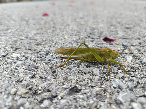
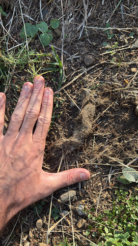
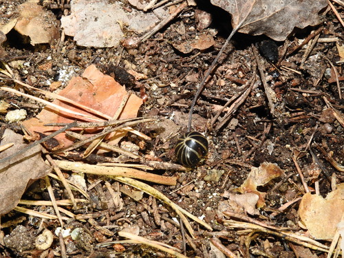
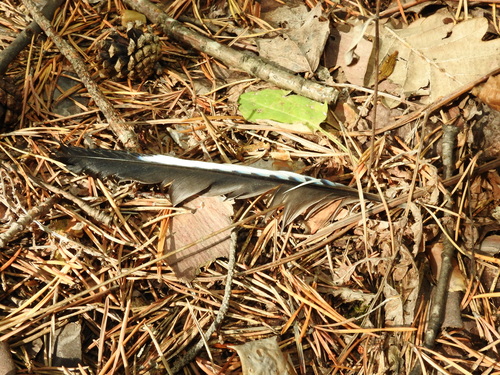
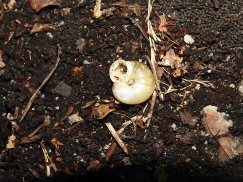
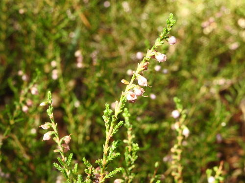
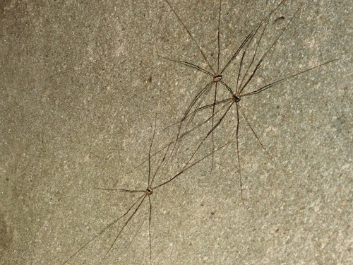
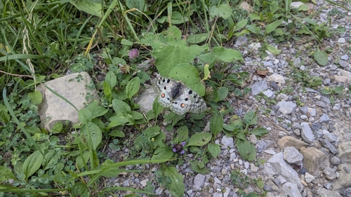
Research-grade observations from iNaturalist (within ~15 mi).
Events
Gallery
Official Identifiers
INSEE — French National Institute of Statistics
- INSEE code
- 04061
- Department
- 04
- Region
- 93
- Population (Wikidata)
- 583
geo.api.gouv.fr
Sources
- • Wikipedia
- • Wikidata
- • USGS Earthquake Catalog (global feed)
- • GBIF (Global Biodiversity Information Facility)
- • iNaturalist
- • Open-Meteo / sunrise-sunset.org
- • Wikipedia Pageviews API
- • INSEE — French national statistics, via geo.api.gouv.fr (official commune code, population, surface, department, region)
- • INSEE — French National Institute of Statistics — geo.api.gouv.fr