Browse / France / Provence-Alpes-Côte d'Azur / Thorame-Haute
Thorame-Haute
Provence-Alpes-Côte d'Azurvillage

Thorame-Haute
Total population
246
Demographic figures from INSEE. Overview below cites Wikipedia and may reference a different year.
City facts
Facts from Wikidata (CC0).
Overview
Thorame-Haute is a commune in the Alpes-de-Haute-Provence department in southeastern France.
Read more on WikipediaHistory & geography
History
The name Thorame is believed to derive from the Latin Turris Amena, meaning "pleasant tower" or more broadly, "pleasant place." This likely reflects both the Roman administrative presence in the area and the site's favourable geographical features, including its east–west oriented valley, exposure to sunlight, and fertile land. The Latin term turris did not solely refer to a tower in the modern sense, but more generally to a built-up or fortified place capable of serving various administrative or strategic functions. Over time, the name evolved into Toramena or Thoramena, and on several 17th-century maps, it appears as Thoramenes. The current form, Thorame, is considered a modern adaptation into French. There is also a feminine variant of the name. The name Eturamina is often associated with the Roman period and is believed to refer to the territory that later became the two Thorame communes. During the Gallo-Roman era, the village held a notable position within the administrative hierarchy, reportedly having the status of a civitas, similar to other regional centres such as Glandevès (Entrevaux), Senensis (Senez), and Dinia (Digne-les-Bains). Eturamina was among the earliest episcopal sees in Haute-Provence in the 4th century, before the bishopric was transferred to Senez. A Roman tegula (roof tile) engraved with Latin inscriptions was discovered during drainage works in the 19th century and is now preserved at the Musée des Antiquités Nationales in Saint-Germain-en-Laye. The name of Bishop Sévérianus is associated with Eturamina; he is recorded in several church councils, indicating the religious importance of the site during Late Antiquity. It is highly probable that the location was chosen as part of an early Christian effort to evangelise the populations of…
Excerpted from the corresponding Wikipedia article (CC BY-SA).
Geography
Coordinates & boundaries from the US Census TIGER/Line shapefiles.
Climate
Air quality
Walkability
Amenities nearby
Wildlife & biodiversity
Most-observed species
- Eurasian GriffonGyps fulvus (Hablizl, 1783) · Aves247
- Common ChaffinchFringilla coelebs Linnaeus, 1758 · Aves231
- Marbled WhiteMelanargia galathea Linnaeus, 1758 · Insecta207
- Common wall lizardPodarcis muralis (Laurenti, 1768) · Squamata184
- Stinking HelleboreHelleborus foetidus L. · Magnoliopsida182
- Coal TitPeriparus ater (Linnaeus, 1758) · Aves170
- Alpine Saddle-backed Bush-cricketEphippiger terrestris Yersin, 1854 · Insecta165
- European RobinErithacus rubecula (Linnaeus, 1758) · Aves147
Citizen-science & research observations from the Global Biodiversity Information Facility (GBIF).
Earthquake history
Most recent
- M 2.5 — 2025-03-201 km WSW of Cantaron, France
- M 3.1 — 2025-03-181 km ESE of Tourrette-Levens, France
- M 3.3 — 2025-03-182 km N of Berre-les-Alpes, France
- M 3.9 — 2024-12-098 km WNW of Acceglio, Italy
- M 4.1 — 2023-11-2110 km WSW of Acceglio, Italy
- M 4.1 — 2023-05-1616 km W of Pleyne, Italy
Events from the USGS Earthquake Catalog (global) (FDSN Event Web Service).
Photos
Sights & places nearby
Notable people from here

People born within ~10 km, from Wikidata (CC0). Click any name for their Wikipedia article.
Nearby places in Provence-Alpes-Côte d'Azur
Geography & sun
Elevation, sunrise/sunset and daylight from Open-Meteo. Solar climatology from NASA POWER.
Nearby airports
Public attention
Pageview totals from the Wikimedia Pageviews API.
Books about this place
Recent natural events nearby
Ground air-quality sensors
Recently spotted species
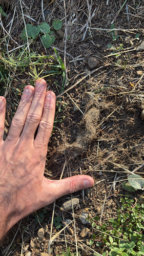
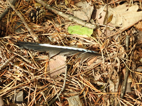
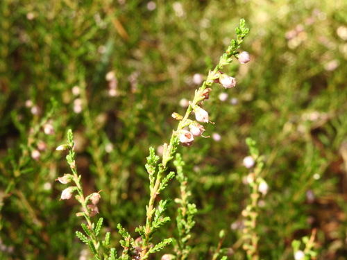
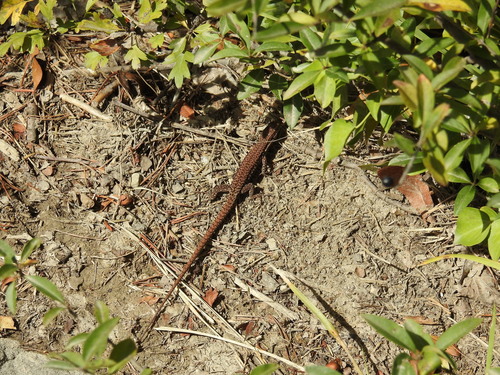
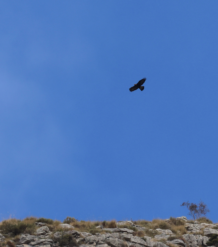
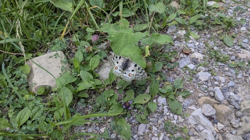
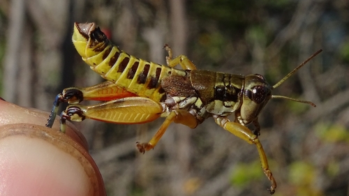
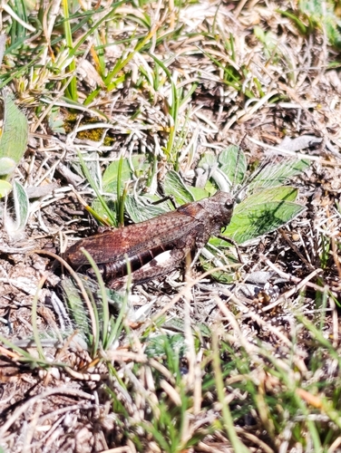
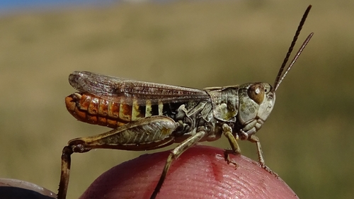
Research-grade observations from iNaturalist (within ~15 mi).
Events
Gallery
Official Identifiers
INSEE — French National Institute of Statistics
- INSEE code
- 04219
- Department
- 04
- Region
- 93
- Population (Wikidata)
- 247
geo.api.gouv.fr
Sources
- • Wikipedia
- • Wikidata
- • USGS Earthquake Catalog (global feed)
- • GBIF (Global Biodiversity Information Facility)
- • iNaturalist
- • Open-Meteo / sunrise-sunset.org
- • Wikipedia Pageviews API
- • INSEE — French national statistics, via geo.api.gouv.fr (official commune code, population, surface, department, region)
- • INSEE — French National Institute of Statistics — geo.api.gouv.fr