Browse / France / Provence-Alpes-Côte d'Azur / Cuers
Cuers
Provence-Alpes-Côte d'Azurvillage

Cuers
Total population
12,550
Demographic figures from INSEE. Overview below cites Wikipedia and may reference a different year.
City facts
Facts from Wikidata (CC0).
Overview
Cuers is a commune in the Var department in the Provence-Alpes-Côte d'Azur region in southeastern France.
Read more on WikipediaHistory & geography
Geography
Cuers has a hot-summer Mediterranean climate (Köppen climate classification Csa). The average annual temperature in Cuers is . The average annual rainfall is with November as the wettest month. The temperatures are highest on average in July, at around , and lowest in January, at around . The highest temperature ever recorded in Cuers was on 5 August 2017; the coldest temperature ever recorded was on 2 March 2005.
Excerpted from the corresponding Wikipedia article (CC BY-SA).
Geography
Coordinates & boundaries from the US Census TIGER/Line shapefiles.
Climate
Air quality
Walkability
Amenities nearby
Wildlife & biodiversity
Earthquake history
Photos
Sights & places nearby
Notable people from here


People born within ~10 km, from Wikidata (CC0). Click any name for their Wikipedia article.
Nearby places in Provence-Alpes-Côte d'Azur
- Solliès-Toucas3.2 mi away · pop. 5,912
- La Farlède5.6 mi away · pop. 9,658
- Besse-sur-Issole9.4 mi away · pop. 3,095
- L'Ayguade10.4 mi away
- Les Salins10.5 mi away
- La Celle11 mi away · pop. 1,592
- Les Censiès12.2 mi away
- Le Val13.9 mi away · pop. 4,270
- Vins-sur-Caramy14 mi away · pop. 930
- Cabasse15.1 mi away · pop. 1,951
- Le Cannet-des-Maures17.2 mi away · pop. 4,592
- Nans-les-Pins17.3 mi away · pop. 4,968
Geography & sun
Elevation, sunrise/sunset and daylight from Open-Meteo. Solar climatology from NASA POWER.
Nearby airports
Public attention
Pageview totals from the Wikimedia Pageviews API.
Books about this place
Recent natural events nearby
Ground air-quality sensors
Recently spotted species
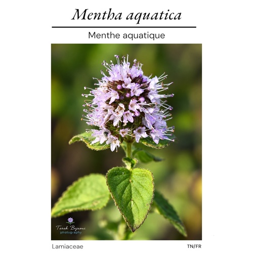
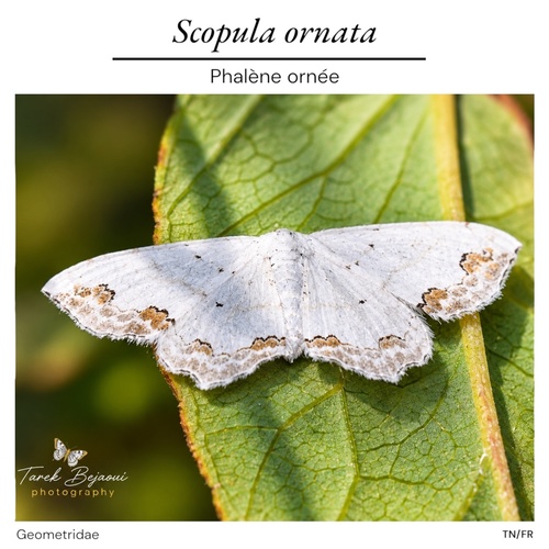
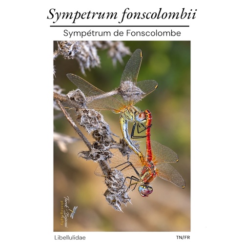
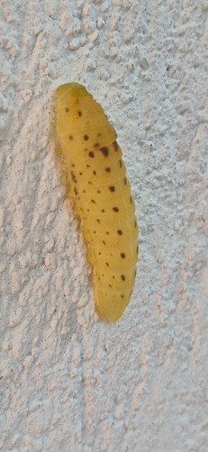
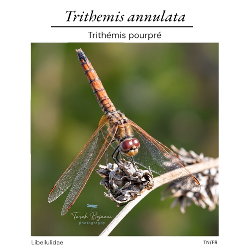
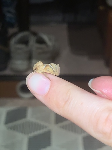
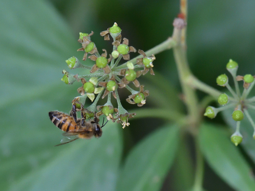
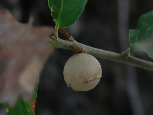
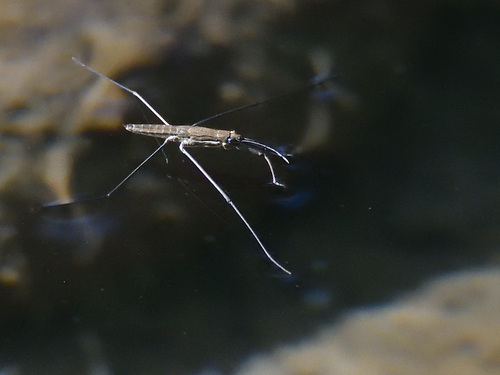
Research-grade observations from iNaturalist (within ~15 mi).
Events
Gallery
Official Identifiers
INSEE — French National Institute of Statistics
- INSEE code
- 83049
- Department
- 83
- Region
- 93
- Population (Wikidata)
- 13,271
geo.api.gouv.fr
Sources
- • Wikipedia
- • Wikidata
- • iNaturalist
- • Open-Elevation
- • Open-Meteo / sunrise-sunset.org
- • Wikipedia Pageviews API
- • Wikidata SPARQL (CC0) — population, area, elevation, inception, head of government, Commons image
- • INSEE — French national statistics, via geo.api.gouv.fr (official commune code, population, surface, department, region)
- • INSEE — French National Institute of Statistics — geo.api.gouv.fr