Browse / France / Grand Est / Erstein
Erstein
Grand Esttown

Erstein
Total population
10,887
Demographic figures from INSEE. Overview below cites Wikipedia and may reference a different year.
City facts
Sister cities
- Lahr/Schwarzwald
- Freguesia de São João de Loure
- Endingen am Kaiserstuhl
Facts from Wikidata (CC0).
Overview
Erstein is a commune in the Bas-Rhin department, in the region of Grand Est, France.
Read more on WikipediaHistory & geography
History
An important necropolis from the Merovingian era (6th-7th century) has been excavated near Erstein in 1999–2000. Erstein was known in Alsace in the Middle Age for its canonesses monastery, founded in the 9th century and abandoned in 1422. The buildings were destroyed in the 16th and 19th centuries.
Excerpted from the corresponding Wikipedia article (CC BY-SA).
Geography
Coordinates & boundaries from the US Census TIGER/Line shapefiles.
Climate
Air quality
Walkability
Amenities nearby
Wildlife & biodiversity
Earthquake history
Photos
Sights & places nearby
Notable people from here


People born within ~10 km, from Wikidata (CC0). Click any name for their Wikipedia article.
Nearby places in Grand Est
- Osthouse1.6 mi away · pop. 934
- Schaeffersheim1.9 mi away · pop. 804
- Uttenheim3.1 mi away · pop. 572
- Ichtratzheim3.8 mi away · pop. 383
- Obenheim4.5 mi away · pop. 1,358
- Lipsheim4.6 mi away · pop. 2,670
- Fegersheim4.7 mi away · pop. 5,777
- Benfeld4.8 mi away · pop. 5,870
- Eschau5 mi away · pop. 5,746
- Krautergersheim5.8 mi away · pop. 1,745
- Daubensand5.9 mi away · pop. 428
- Rossfeld6.1 mi away · pop. 1,030
Geography & sun
Elevation, sunrise/sunset and daylight from Open-Meteo. Solar climatology from NASA POWER.
Nearby airports
Public attention
Pageview totals from the Wikimedia Pageviews API.
Books about this place
Recent natural events nearby
Ground air-quality sensors
Recently spotted species
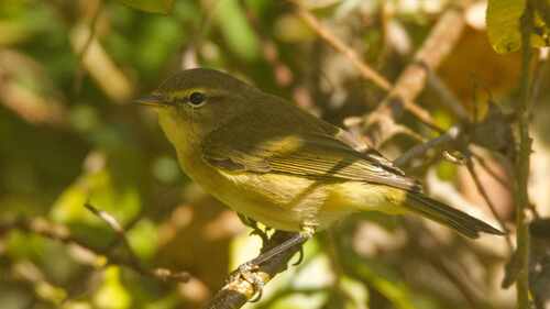
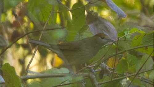
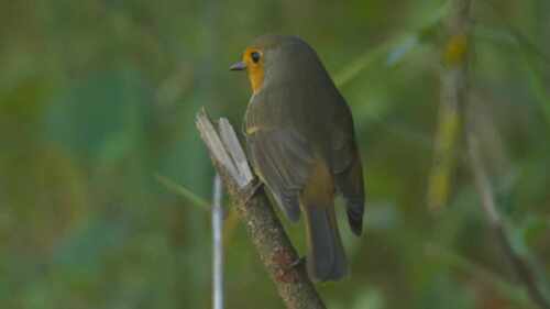
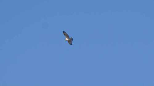
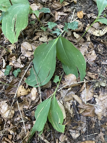
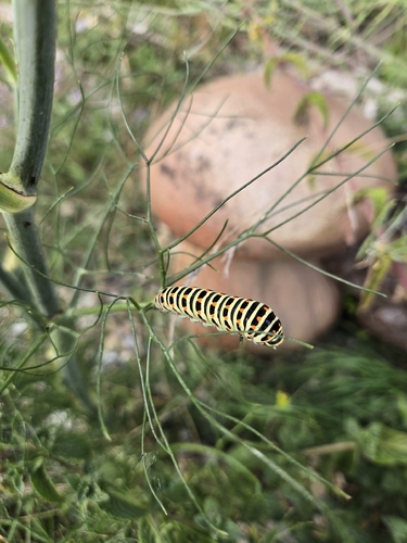
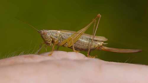
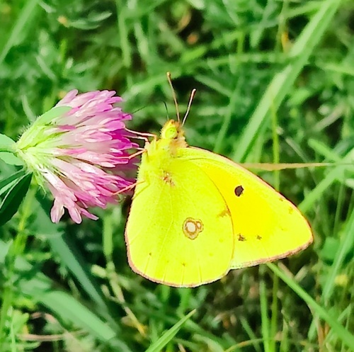
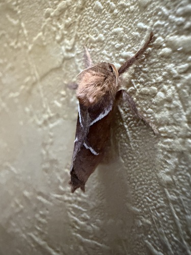
Research-grade observations from iNaturalist (within ~15 mi).
Events
Gallery
Official Identifiers
INSEE — French National Institute of Statistics
- INSEE code
- 67130
- Department
- 67
- Region
- 44
- Population (Wikidata)
- 10,790
geo.api.gouv.fr
Sources
- • Wikipedia
- • Wikidata
- • iNaturalist
- • Open-Meteo / sunrise-sunset.org
- • Wikipedia Pageviews API
- • Wikidata SPARQL (CC0) — population, area, elevation, inception, head of government, Commons image
- • INSEE — French national statistics, via geo.api.gouv.fr (official commune code, population, surface, department, region)
- • INSEE — French National Institute of Statistics — geo.api.gouv.fr