Browse / France / Grand Est / Pont-à-Mousson
Pont-à-Mousson
Grand Esttown

Pont-à-Mousson
Total population
14,338
Demographic figures from INSEE. Overview below cites Wikipedia and may reference a different year.
City facts
Sister cities
Facts from Wikidata (CC0).
Overview
Pont-à-Mousson is a commune in the Meurthe-et-Moselle department in north-eastern France. Its inhabitants are known as Mussipontains in French. It is an industrial town, situated on the river Moselle. Pont-à-Mousson has several historical monuments, including the 18th-century Premonstratensian abbey.
Read more on WikipediaHistory & geography
History
In 1572 Cardinal Charles of Lorraine established a Jesuit university at Pont-à-Mousson. With the Protestant Revolution building in the German-speaking lands, still part of the Holy Roman Empire, directly to the east, and the Duchy of Lorraine vulnerable to pressure from an increasingly assertive French state directly to the west, the Duchy participated in the wars of religion on the side of the Counter-Reformation. The Tridentine strategy promulgated by the Holy See involved the creation of a "Roman Catholic backbone" (sometimes termed the Lotharingian axis from the territories, including Lorraine, between France and the Habsburg Empire). During the seventeenth century the university of Pont-à-Mousson grew rapidly until there were about 2,000 students. There were four faculties covering theology, the arts, law and medicine. Students were drawn from across western and central Europe. Over time a rivalry grew up between students in the St Martin district, located on the right-bank of the river Moselle and dominated by Jesuits, and the left-bank students based in the St Laurent quarter and considered the rowdier of the two student tribes. Rivalry peaked with the violent "printers' battles" when the rival factions were known respectively as the "Ponti Mussoni" and the "Mussiponti". The "Mussiponti" won, and in the region the inhabitants of the town became known thereafter as "Mussipontains/Mussipontines". The Duchy of Lorraine became French following the death in 1766 of Duke Stanisław Leszczyński, and in 1769 Louis XV had the Jesuit Academy transferred to Nancy. The only notable educational establishment remaining at Pont-à-Mousson was a military training school. The town continued to flourish as a centre of the visual arts, however, rivalling Épinal to the south in…
Excerpted from the corresponding Wikipedia article (CC BY-SA).
Geography
Coordinates & boundaries from the US Census TIGER/Line shapefiles.
Climate
Air quality
Walkability
Amenities nearby
Wildlife & biodiversity
Earthquake history
Photos
Sights & places nearby
Notable people from here


People born within ~10 km, from Wikidata (CC0). Click any name for their Wikipedia article.
Nearby places in Grand Est
- Pompey9.9 mi away · pop. 4,836
- Ars-sur-Moselle12.1 mi away · pop. 4,651
- Lay-Saint-Christophe12.6 mi away · pop. 2,370
- Puxieux14.1 mi away · pop. 226
- Moulins-lès-Metz14.3 mi away · pop. 5,088
- Gravelotte14.4 mi away · pop. 810
- Sponville15.5 mi away · pop. 111
- Jarville-la-Malgrange17.2 mi away · pop. 9,374
- Ville-sur-Yron17.2 mi away · pop. 298
- Toul17.3 mi away · pop. 15,849
- Saint-Julien-lès-Metz17.4 mi away · pop. 3,514
- Han-sur-Nied18.4 mi away · pop. 252
Geography & sun
Elevation, sunrise/sunset and daylight from Open-Meteo. Solar climatology from NASA POWER.
Nearby airports
Public attention
Pageview totals from the Wikimedia Pageviews API.
Books about this place
Recent natural events nearby
Ground air-quality sensors
Recently spotted species
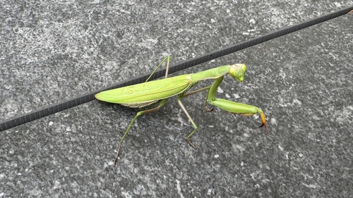
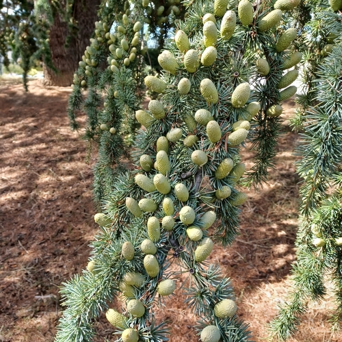
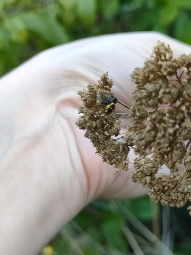
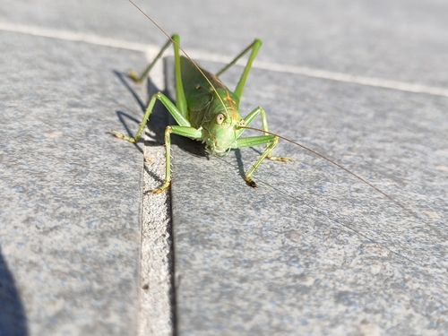
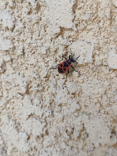
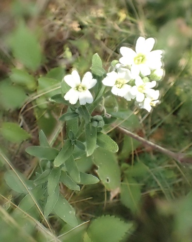
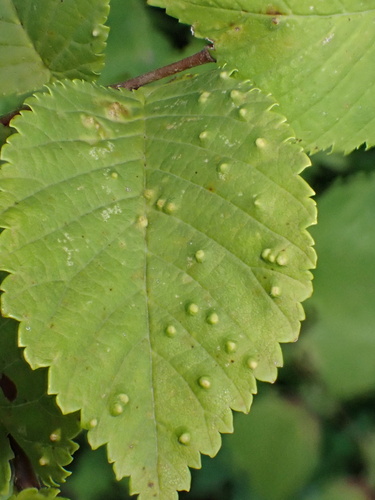
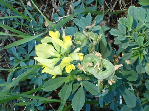
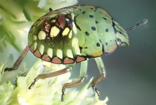
Research-grade observations from iNaturalist (within ~15 mi).
Events
Gallery
Official Identifiers
INSEE — French National Institute of Statistics
- INSEE code
- 54431
- Department
- 54
- Region
- 44
- Population (Wikidata)
- 14,190
geo.api.gouv.fr
Sources
- • Wikipedia
- • Wikidata
- • iNaturalist
- • Open-Meteo / sunrise-sunset.org
- • Wikipedia Pageviews API
- • Wikidata SPARQL (CC0) — population, area, elevation, inception, head of government, Commons image
- • INSEE — French national statistics, via geo.api.gouv.fr (official commune code, population, surface, department, region)
- • INSEE — French National Institute of Statistics — geo.api.gouv.fr