Browse / France / Grand Est / Riedisheim
Riedisheim
Grand Esttown

Riedisheim
Total population
12,163
Demographic figures from INSEE. Overview below cites Wikipedia and may reference a different year.
City facts
Sister cities
Facts from Wikidata (CC0).
Overview
Riedisheim, in Alsatian Riadasa, is a commune in the Haut-Rhin department, Alsace, region of Grand Est, northeastern France. It forms part of the Mulhouse Alsace Agglomération, the inter-communal local government body for the Mulhouse conurbation.
Read more on WikipediaHistory & geography
Geography
Coordinates & boundaries from the US Census TIGER/Line shapefiles.
Climate
Air quality
Walkability
Amenities nearby
Wildlife & biodiversity
Earthquake history
Photos
Sights & places nearby
Notable people from here
Nearby places in Grand Est
- Eschentzwiller2.9 mi away · pop. 1,493
- Schlierbach4.9 mi away · pop. 1,281
- Zillisheim5 mi away · pop. 2,514
- Ruelisheim5.3 mi away · pop. 2,453
- Hochstatt5.3 mi away · pop. 2,177
- Steinbrunn-le-Haut6.1 mi away · pop. 650
- Hombourg6.4 mi away · pop. 1,351
- Heimsbrunn6.8 mi away · pop. 1,336
- Rantzwiller6.9 mi away · pop. 800
- Niffer7 mi away · pop. 970
- Ottmarsheim7.1 mi away · pop. 1,995
- Wittelsheim7.2 mi away · pop. 10,334
Geography & sun
Elevation, sunrise/sunset and daylight from Open-Meteo. Solar climatology from NASA POWER.
Nearby airports
Public attention
Pageview totals from the Wikimedia Pageviews API.
Books about this place
Recent natural events nearby
Ground air-quality sensors
Recently spotted species
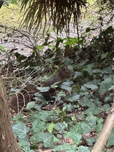
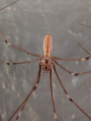
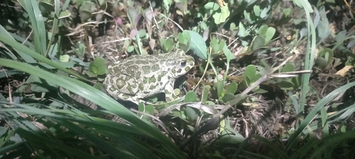
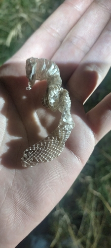

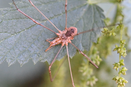
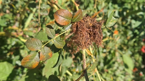
Research-grade observations from iNaturalist (within ~15 mi).
Events
Gallery
Official Identifiers
INSEE — French National Institute of Statistics
- INSEE code
- 68271
- Department
- 68
- Region
- 44
- Population (Wikidata)
- 12,200
geo.api.gouv.fr
Sources
- • Wikipedia
- • Wikidata
- • iNaturalist
- • Open-Meteo / sunrise-sunset.org
- • Wikipedia Pageviews API
- • Wikidata SPARQL (CC0) — population, area, elevation, inception, head of government, Commons image
- • INSEE — French national statistics, via geo.api.gouv.fr (official commune code, population, surface, department, region)
- • INSEE — French National Institute of Statistics — geo.api.gouv.fr