Browse / France / Grand Est / Saint-Dié-des-Vosges
Saint-Dié-des-Vosges
Grand Esttown

Saint-Dié-des-Vosges
Total population
19,319
Air quality index
Demographic figures from INSEE. Overview below cites Wikipedia and may reference a different year.
City facts
Facts from Wikidata (CC0).
Overview
Saint-Dié-des-Vosges is a commune in the Vosges department, Grand Est, northeastern France.
Read more on WikipediaHistory & geography
History
Saint-Dié (Lat. Deodatum, Theodata, S. Deodati Fanum) is named for Saint Deodat. A holy man who was known as "le bonhomme", he founded a ban (a political and Christian subdivision of the royal territory) in the 7th century that was originally called Foresta. Some religious historians believed he was the bishop of Nevers, Deodatus of Nevers. Deodatus gave up his official functions to retire to a desert dwelling. Other sources connect the name, however, with an earlier saint, Deodatus of Blois (d. 525). Archeological and historical records confirm the total time that this area has been inhabited. One hypothesis holds that a column constructed by Romans on a site originally dedicated to Tiwaz – Tius, god of war – might explain ancient ceremonies in the old Saint-Dié chapel at the foot of Kemberg mountain (locally called Saint-Martin). Deodatus, who could have been an episcopus hiberniensis (bishop from Ireland) or an episcopus niverniensis (bishop from Nevers), would have lived in an old monastery or vieux moutier above the old chapel and a water source. Legends originating in the 11th century as well as popular traditions say that Saint Deodatus himself dreamed of a new monastery to be built upon a little hill called la monticule des Jointures, visible on the other side of the river. A little monastic community dedicated to Saint Maurice was probably founded during Carolingian times, as there is evidence of its presence there since the 10th century. After 1006, the monastery took the name Saint-Dié. The little monastery was partially destroyed by fire in 1065 and again in 1155. The date on which the site became a chapter of canons is uncertain. Historians deny that Brunon de Dabo-Egisheim, future Pope Leo IX, was a young monk and great provost here, but his family…
Geography
Saint-Dié is located in the Vosges Mountains southeast of Nancy and southwest of Strasbourg. This route in the valley of the river Meurthe was always the more frequented, and first to get a rail line in 1864, so now it accommodates the primary road. Saint-Dié-des-Vosges, principal town of an arrondissement of the same name, belongs to the Vosges département of France. This commune with a little town in her center, is approximately northeast of Épinal, and connected by two roads, south through the passes of Haut-Jacques and Bruyères or north by the pass of Haut-du-Bois and the ancient land of Rambervillers. By rail, Épinal is from Saint-Dié. The Saint-Dié-des-Vosges station offers rail connections to Épinal, Strasbourg, Nancy and Paris. The river Meurthe flows in the Permian basin of Saint-Dié surrounded by wooded mountains Ormont, Kemberg and La Madeleine. The peaks of these mountains are high, and are composed of Triassic formations, especially the so-called "Vosges sandstone", a kind of red sandstone.
Excerpted from the corresponding Wikipedia article (CC BY-SA).
Geography
Coordinates & boundaries from the US Census TIGER/Line shapefiles.
Climate
Air quality
Current readings from Open-Meteo Air Quality API (Copernicus CAMS European reanalysis).
Walkability
Amenities nearby
Wildlife & biodiversity
Most-observed species
- Eurasian BlackbirdTurdus merula Linnaeus, 1758 · Aves678
- Great TitParus major Linnaeus, 1758 · Aves651
- Common ChaffinchFringilla coelebs Linnaeus, 1758 · Aves628
- Eurasian Blue TitCyanistes caeruleus (Linnaeus, 1758) · Aves605
- European RobinErithacus rubecula (Linnaeus, 1758) · Aves490
- House SparrowPasser domesticus (Linnaeus, 1758) · Aves427
- Eurasian JayGarrulus glandarius (Linnaeus, 1758) · Aves335
- Marsh TitPoecile palustris (Linnaeus, 1758) · Aves310
Citizen-science & research observations from the Global Biodiversity Information Facility (GBIF).
Earthquake history
Most recent
- M 3.5 — 2024-06-271 km SSW of Todtmoos, Germany
- M 3.9 — 2022-09-101 km WSW of Zimmersheim, France
- M 4.1 — 2021-06-262 km SE of Hœrdt, France
- M 3.1 — 2018-05-042 km W of Schliengen, Germany
- M 3.6 — 2009-05-052 km NNW of Steinen, Germany
- M 2.7 — 2008-12-251 km NNW of Blodelsheim, France
Events from the USGS Earthquake Catalog (global) (FDSN Event Web Service).
Photos
Sights & places nearby
Notable people from here


People born within ~10 km, from Wikidata (CC0). Click any name for their Wikipedia article.
Nearby places in Grand Est
- Remomeix2.8 mi away · pop. 439
- Saulcy-sur-Meurthe3.5 mi away · pop. 2,319
- Coinches4.2 mi away · pop. 349
- Le Beulay5.8 mi away · pop. 91
- Lesseux6.2 mi away · pop. 139
- Étival-Clairefontaine6.5 mi away · pop. 2,506
- La Grande-Fosse6.7 mi away · pop. 133
- Lusse7.2 mi away · pop. 369
- Laveline-devant-Bruyères11.3 mi away · pop. 576
- Beauménil12.5 mi away · pop. 133
- Pierrepont-sur-l'Arentèle13.8 mi away · pop. 139
- Fréland13.9 mi away · pop. 1,305
Geography & sun
Nearby airports
Public attention
Books about this place
Recent natural events nearby
Ground air-quality sensors
Recently spotted species
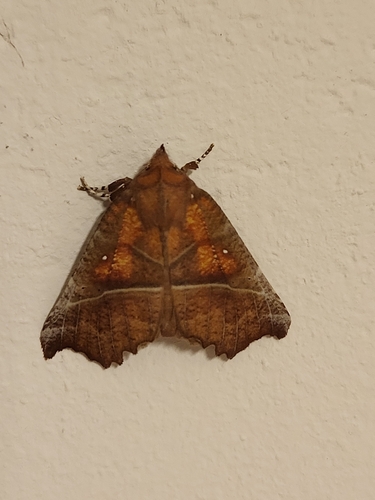
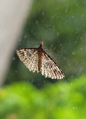
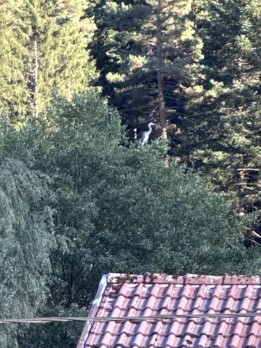
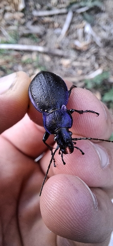
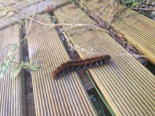
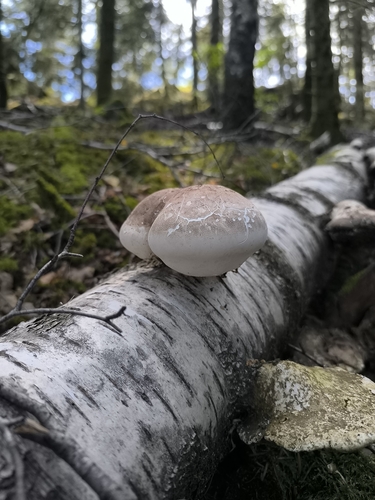
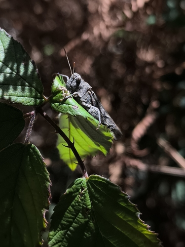
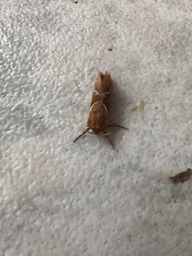
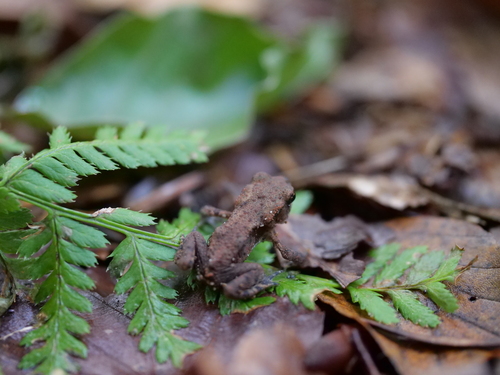
Research-grade observations from iNaturalist (within ~15 mi).
Events
Notable, recurring, and historical events associated with Saint-Dié-des-Vosges, sourced from Wikidata.
- Festival international de géographie 2023planned event
Source: Wikidata (CC0).
Gallery
Official Identifiers
INSEE — French National Institute of Statistics
- INSEE code
- 88413
- Department
- 88
- Region
- 44
- Population (Wikidata)
- 19,251
geo.api.gouv.fr
Sources
- • Wikipedia
- • Wikidata
- • Open-Meteo Air Quality (CAMS)
- • USGS Earthquake Catalog (global feed)
- • GBIF (Global Biodiversity Information Facility)
- • iNaturalist
- • Wikidata SPARQL (CC0) — population, area, elevation, inception, head of government, Commons image
- • INSEE — French national statistics, via geo.api.gouv.fr (official commune code, population, surface, department, region)
- • INSEE — French National Institute of Statistics — geo.api.gouv.fr