Browse / France / Grand Est / Sainte-Marie-aux-Mines
Sainte-Marie-aux-Mines
Grand Estvillage

Sainte-Marie-aux-Mines
Total population
5,049
Demographic figures from INSEE. Overview below cites Wikipedia and may reference a different year.
City facts
Sister cities
Facts from Wikidata (CC0).
Overview
Sainte-Marie-aux-Mines is a commune in the Haut-Rhin department and Grand Est region of France.
Read more on WikipediaHistory & geography
History
Sainte-Marie-aux-Mines owes its fame to its mines. All the evolution is so conditioned in the exploitation of mines. These mines would have been discovered with Gallo-Romans which had already begun the exploitation of mines at the beginning of the 2nd or 3rd century CE. This hypothesis had been suggested, but was very fast abandoned for lack of serious documents. Robert Forrer put handed her in value in 1927 by basing itself on the presence of antimony in the currencies of and the valley of Lièpvre of which depended more or less, antimony, which according to him, could come only of Sainte-Marie-aux-Mines's region, which would have so known mines from this time. It is then the black hole until the 10th century when according to the monk of the abbey of whom lived in the 13th century, a named monk Blidulphe based Echéry's convent, situated right by the current Sainte-Marie-aux-Mines. The monks noticed soon that the valley abounded in mine fertility. The monks of Echéry are soon threatened in their possessions and their rights by the family of Echery which builds in the 13th century, the castle of Hoh-Eckerich. This family eventually monopolized the mines which the monks exploited. The first mention of the town dates from the time of Theodoric II, Duke of Lorraine, who returned in 1078 to Lièpvre's convent Sainte-Marie-aux-Mines's tithes and that of the Saint Blaise's nearby village. These possessions made left for Lièpvre's convent which had been deprived of him in 1052 by Gérard d'Alsace, his father. Gérard d'Alsace descended from the family who reigned over Alsace in the 7th century, the name of which is connected with that of Etichon which was also the father of Sainte Odile. The predecessor of Gérard d'Alsace, Adalbert, was the son of another Gérard who had married…
Geography
Sainte-Marie-aux-Mines is located in the massif of the Vosges Mountains, where it occupies the V-shaped valley of the Lièpvrette River. Nearby Lorraine is accessible by road over the Col de Sainte-Marie () or the Tunnel Maurice-Lemaire (reopened, following a major upgrade, in October 2008). The Col des Bagenelles () leads to the Col du Bonhomme and to the Route des Crêtes (Road of the Ridges). The Col du Haut de Ribeauvillé () gives direct access to Ribeauvillé, situated to the southeast. Sélestat in the Bas Rhin, a much more substantial commercial and political focus for the region, is just to the east, along the Liepvrette valley. Sainte-Marie-aux-Mines is surrounded on both sides of the valley by high mountains. The Lièpvrette River (German:Landbach), separates the town into two parts, and, formerly, into two different parishes. Some to the east lies Sélestat at the intersection of the D48, D416, and D459 roads, the first of which crosses the Col des Bagenelles mountain pass. Early Latin documents called the town Fanum S. Mariae or S. Maria ad Fodinas. Its German-language name was Markirch or Mariakirch. In year II of the Republic, it was given the name of Val-aux-Mines. The valley of Sainte-Marie-aux-Mines is sometimes called the Val d'Argent. It contains five municipalities: Aubure, Lièpvre, Rombach-le-Franc, and Sainte-Croix-aux-Mines. Established in 1790, it was subdivided temporarily, between 1795 and 1802, into two: the one restricted to the town of Sainte-Marie-aux-Mines, and the other one including the four other municipalities with its center at Sainte-Croix-aux-Mines. The valley of Sainte-Marie-aux-Mines was a part of the district of Colmar, but in 1871 it became part of the district of Ribeauvillé. According to the Köppen climate classification,…
Excerpted from the corresponding Wikipedia article (CC BY-SA).
Geography
Coordinates & boundaries from the US Census TIGER/Line shapefiles.
Climate
10-year averages from ERA5 reanalysis (Open-Meteo).
Air quality
Walkability
Amenities nearby
Wildlife & biodiversity
Earthquake history
Photos
Sights & places nearby
Notable people from here
Nearby places in Grand Est
- Aubure3.9 mi away · pop. 360
- Fréland5.2 mi away · pop. 1,305
- Urbeis5.7 mi away · pop. 317
- Fouchy6.8 mi away · pop. 636
- Lalaye6.8 mi away · pop. 487
- Breitenau7.4 mi away · pop. 335
- Hunawihr7.5 mi away · pop. 568
- Dieffenbach-au-Val8 mi away · pop. 641
- Neuve-Église8.2 mi away · pop. 622
- Orbey8.4 mi away · pop. 3,453
- Saint-Martin8.6 mi away · pop. 367
- Bergheim8.7 mi away · pop. 2,066
Geography & sun
Nearby airports
Public attention
Books about this place
Recent natural events nearby
Ground air-quality sensors
Recently spotted species
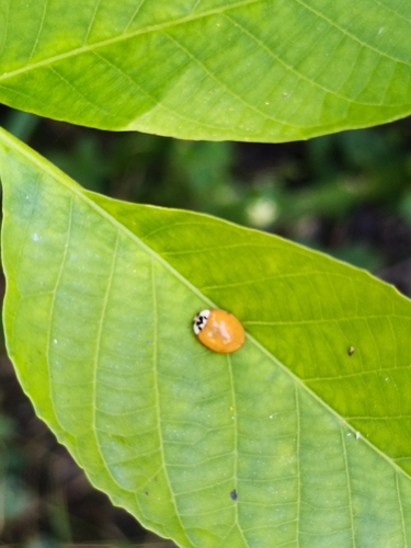
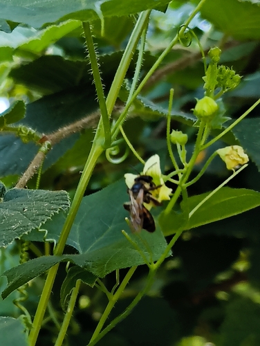
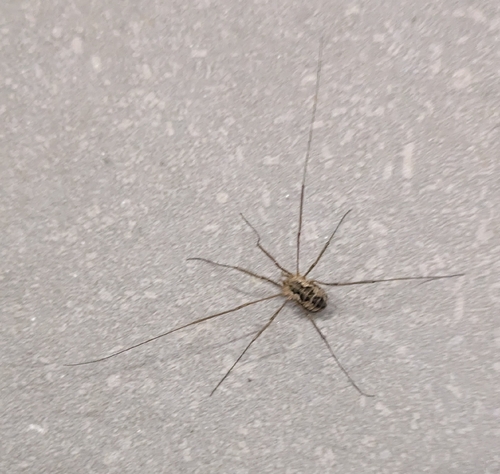
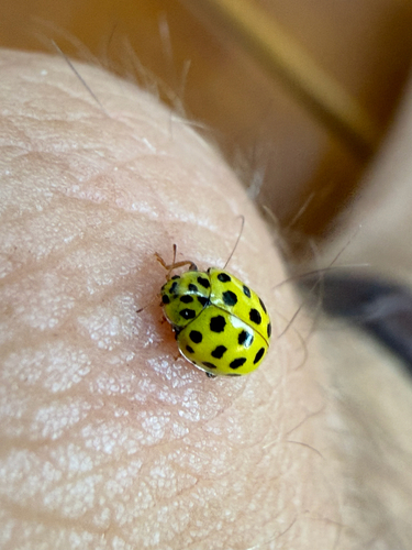
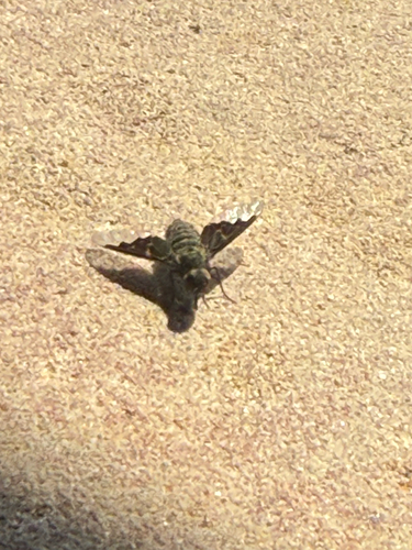
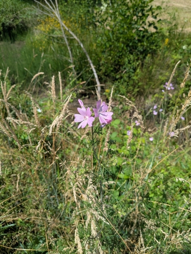
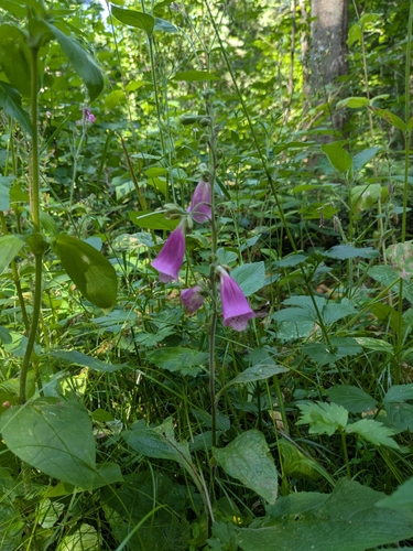

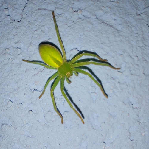
Research-grade observations from iNaturalist (within ~15 mi).
Events
Gallery
Geotagged photos within ~6 miles of Sainte-Marie-aux-Mines, from Wikimedia Commons contributors.
 0 mi
0 mi.JPG) 0 mi
0 mi.JPG) 0 mi
0 mi 0 mi
0 mi.JPG) 0 mi
0 mi 0 mi
0 mi 0 mi
0 mi 0 mi
0 mi 0.1 mi
 0.1 mi
 0.1 mi
 0.1 mi
.JPG) 0.1 mi
0.1 mi.JPG) 0.1 mi
0.1 mi.JPG) 0.1 mi
0.1 mi.JPG) 0.1 mi
0.1 mi.JPG) 0.1 mi
0.1 mi.JPG) 0.1 mi
0.1 mi.JPG) 0.1 mi
0.1 mi 0.1 mi
 0.1 mi
 0.1 mi
.JPG) 0.1 mi
0.1 mi.JPG) 0.1 mi
0.1 miPhotos via Wikimedia Commons — see each image page for license & attribution.
Official Identifiers
INSEE — French National Institute of Statistics
- INSEE code
- 68298
- Department
- 68
- Region
- 44
- Population (Wikidata)
- 4,851
geo.api.gouv.fr
Sources
- • Wikipedia
- • Open-Meteo (ERA5 reanalysis)
- • Wikimedia Commons
- • Wikidata
- • iNaturalist
- • INSEE — French national statistics, via geo.api.gouv.fr (official commune code, population, surface, department, region)
- • INSEE — French National Institute of Statistics — geo.api.gouv.fr