Browse / France / Grand Est / Schiltigheim
Schiltigheim
Grand Esttown

Schiltigheim
Total population
34,129
Demographic figures from INSEE. Overview below cites Wikipedia and may reference a different year.
City facts
Facts from Wikidata (CC0).
Overview
Schiltigheim is a commune located north of the city of Strasbourg in the Bas-Rhin department within the Grand Est region of north-eastern France.
Read more on WikipediaHistory & geography
History
Schiltigheim's origin dates back to at least the 9th century, forming around Sciltung castle, established by a Frankish warror, and Bothebür chapel located on the last hills north of Strasbourg and extending along the slopes down toward the Rhine. The Sciltung castle was located on the hill of the present-day Castle Park in Schiltigheim. Bothebür chapel's exact location is unknown but it may have been located near the present-day . Schiltigheim's development is closely linked to the 14th century arrival of the expelled inhabitants of the ancient village of who were granted permission to settle in lower Schiltigheim between the present-day streets of La Glacière and Adelshoffen. In 843, after the division of Francia by the Oaths of Strasbourg and the Treaty of Verdun, Schiltigheim became part of Middle Francia under Lothair I. In 845, Lothair I placed 11 estates, including the village of Schiltigheim and its chapel, under ownership of the Abbey of Saint Stephen in Strasbourg. In 1648, Strasbourg and its lands, including Schiltigheim remained a free imperial city within the Holy Roman Empire, even though the Peace of Westphalia ceded most of Alsace to the Kingdom of France. In 1676, during the Franco-Dutch War, the Strasbourg Magistrate had the Sciltung castle razed to prevent its use against the village. The castle resembled a large tower with tall walls and its position on top of Schillingheim-Bühel hill provided anyone inside with a full view of all surrounding areas. which held the property of former Saint Stephen's abbey, or to the in the former Adelshoffen territory. Around the turn of the 20th century, Schiltigheim had a Protestant and a Catholic church, a district court, a goose exchange, and factories producing sparkling wine, canned goods, waxed canvas,…
Excerpted from the corresponding Wikipedia article (CC BY-SA).
Geography
Coordinates & boundaries from the US Census TIGER/Line shapefiles.
Climate
Air quality
Walkability
Amenities nearby
Wildlife & biodiversity
Earthquake history
Photos
Sights & places nearby
Notable people from here


People born within ~10 km, from Wikidata (CC0). Click any name for their Wikipedia article.
Nearby places in Grand Est
- Hœnheim1.2 mi away · pop. 11,469
- Niederhausbergen2.5 mi away · pop. 1,673
- Mittelhausbergen2.6 mi away · pop. 2,094
- Oberschaeffolsheim4.7 mi away · pop. 2,592
- Hangenbieten6.8 mi away · pop. 1,740
- Breuschwickersheim6.9 mi away · pop. 1,337
- Kilstett6.9 mi away · pop. 2,491
- Entzheim7.1 mi away · pop. 2,520
- Geispolsheim7.8 mi away · pop. 7,603
- Bietlenheim8.1 mi away · pop. 308
- Geudertheim8.2 mi away · pop. 2,675
- Quatzenheim8.2 mi away · pop. 767
Geography & sun
Elevation, sunrise/sunset and daylight from Open-Meteo. Solar climatology from NASA POWER.
Nearby airports
Public attention
Pageview totals from the Wikimedia Pageviews API.
Books about this place
Recent natural events nearby
Ground air-quality sensors
Recently spotted species
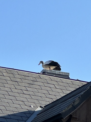
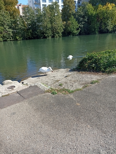
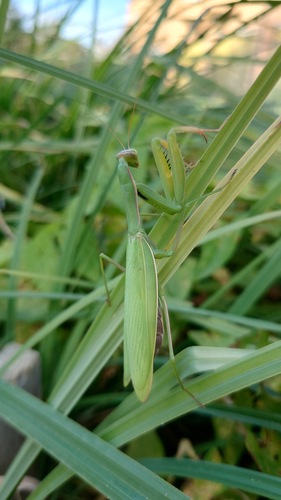
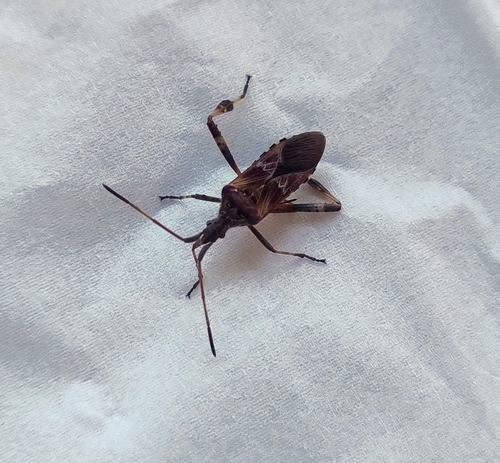
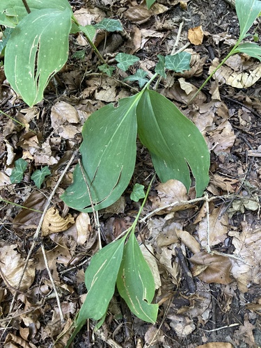
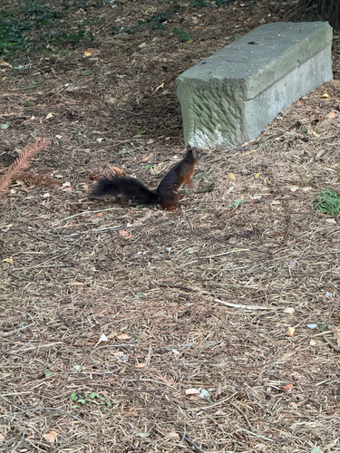
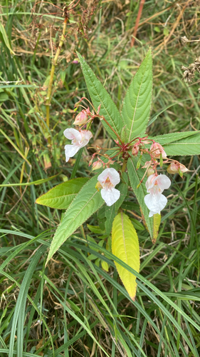
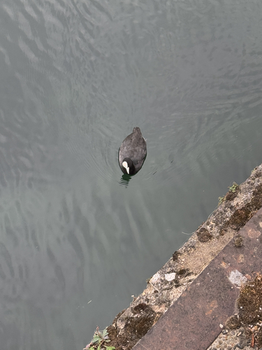
Research-grade observations from iNaturalist (within ~15 mi).
Events
Gallery
Official Identifiers
INSEE — French National Institute of Statistics
- INSEE code
- 67447
- Department
- 67
- Region
- 44
- Population (Wikidata)
- 34,708
geo.api.gouv.fr
Sources
- • Wikipedia
- • Wikidata
- • iNaturalist
- • Open-Meteo / sunrise-sunset.org
- • Wikipedia Pageviews API
- • Wikidata SPARQL (CC0) — population, area, elevation, inception, head of government, Commons image
- • INSEE — French national statistics, via geo.api.gouv.fr (official commune code, population, surface, department, region)
- • INSEE — French National Institute of Statistics — geo.api.gouv.fr