Browse / France / Grand Est / Strasbourg
Strasbourg
Grand Estcity

Strasbourg
Total population
291,313
Air quality index
Demographic figures from INSEE. Overview below cites Wikipedia and may reference a different year.
City facts
Facts from Wikidata (CC0).
Overview
Strasbourg is a prefecture and commune, and the largest city of the Grand Est region of northeastern France, in the historic region of Alsace. It is the prefecture of the Bas-Rhin department and the official seat of the European Parliament.
Read more on WikipediaHistory & geography
History
The Roman camp of Argentoratum was first mentioned in 12 BC; the city of Strasbourg which grew from it celebrated its 2,000th anniversary in 1988. The fertile area in the Upper Rhine Plain between the rivers Ill and Rhine had already been populated since the Middle Paleolithic. Between 362 and 1262, Strasbourg was governed by the bishops of Strasbourg; their rule was reinforced in 873 and then more in 982. In 1262, the citizens violently rebelled against the bishop's rule (Battle of Hausbergen) and Strasbourg became a free imperial city. It became a French city in 1681, after the conquest of Alsace by the armies of Louis XIV. In 1871, after the Franco-Prussian War, the city, as part of the Imperial Territory of Alsace–Lorraine, became German again, until 1918 (end of World War I), when it reverted to France. Strasbourg was captured by the German army in June 1940 at the end of the Battle of France (World War II), and subsequently came under German control again through formal annexation into the Gau Baden-Elsaß under the Nazi Gauleiter Robert Wagner; since the liberation of the city by the 2nd French Armoured Division under General Leclerc in November 1944, it has again been a French city. In 2016, Strasbourg was promoted from capital of Alsace to capital of Grand Est. Strasbourg played an important part in the Protestant Reformation, with personalities such as John Calvin, Martin Bucer, Wolfgang Capito, Matthew and Katharina Zell, but also in other aspects of Christianity such as German mysticism, with Johannes Tauler, Pietism, with Philipp Spener, and Reverence for Life, with Albert Schweitzer. Delegates from the city took part in the Protestation at Speyer. It was also one of the first centres of the printing industry with pioneers such as Johannes Gutenberg,…
Geography
Strasbourg is situated at the eastern border of France with Germany. This border is formed by the Rhine, which also forms the eastern border of the modern city, facing across the river to the German town Kehl. The historic core of Strasbourg, however, lies on the Grande Île in the river Ill, which here flows parallel to, and roughly from, the Rhine. The natural courses of the two rivers eventually join some distance downstream of Strasbourg, although several artificial waterways now connect them within the city. The city lies in the Upper Rhine Plain, at between above sea level, with the upland areas of the Vosges Mountains some to the west and the Black Forest to the east. This section of the Rhine valley is a major axis of north–south travel, with river traffic on the Rhine itself, and major roads and railways paralleling it on both banks. The city is some east of Paris. The mouth of the Rhine lies approximately to the north, or as the river flows, whilst the head of navigation in Basel is some to the south, or by river. The climate in Strasbourg has changed over the past decades, and while it retains an oceanic climate (Cfb in the Köppen classification), it is increasingly resembling a humid subtropical climate (Köppen Cfa), with certain continental influences. Winters are cool and variable, with short periods of very cold weather. Snow is rare, but frost is common. Summers are hot, punctuated by heat waves, and rainfall is low throughout the year despite 101 days of rain annually. Strasbourg's location in the Rhine valley, sheltered from strong winds by the Vosges and Black Forest mountains, results in poor natural ventilation, making Strasbourg one of the most atmospherically polluted cities of France. Nonetheless, the progressive disappearance of…
Excerpted from the corresponding Wikipedia article (CC BY-SA).
Geography
Coordinates & boundaries from the US Census TIGER/Line shapefiles.
Climate
Air quality
Current readings from Open-Meteo Air Quality API (Copernicus CAMS European reanalysis).
Walkability
Amenities nearby
Wildlife & biodiversity
Most-observed species
- Great TitParus major Linnaeus, 1758 · Aves2,082
- Eurasian BlackbirdTurdus merula Linnaeus, 1758 · Aves2,076
- Carrion CrowCorvus corone Linnaeus, 1758 · Aves1,833
- House SparrowPasser domesticus (Linnaeus, 1758) · Aves1,621
- Eurasian Blue TitCyanistes caeruleus (Linnaeus, 1758) · Aves1,569
- Common ChaffinchFringilla coelebs Linnaeus, 1758 · Aves1,562
- Common Wood-PigeonColumba palumbus Linnaeus, 1758 · Aves1,476
- Mute SwanCygnus olor (J.F.Gmelin, 1789) · Aves1,216
Citizen-science & research observations from the Global Biodiversity Information Facility (GBIF).
Earthquake history
Most recent
- M 3.5 — 2024-06-271 km SSW of Todtmoos, Germany
- M 3.4 — 2022-10-16Baden-Wurttemberg, Germany
- M 4 — 2022-07-092 km NNE of Grosselfingen, Germany
- M 4.1 — 2021-06-262 km SE of Hœrdt, France
- M 3.1 — 2018-05-042 km W of Schliengen, Germany
- M 2.7 — 2008-12-251 km NNW of Blodelsheim, France
Events from the USGS Earthquake Catalog (global) (FDSN Event Web Service).
Photos
Sights & places nearby
Notable people from here


People born within ~10 km, from Wikidata (CC0). Click any name for their Wikipedia article.
Nearby places in Grand Est
- Hœnheim2.5 mi away · pop. 11,469
- Mittelhausbergen3.3 mi away · pop. 2,094
- Niederhausbergen3.5 mi away · pop. 1,673
- Oberschaeffolsheim4.7 mi away · pop. 2,592
- Entzheim6.3 mi away · pop. 2,520
- Hangenbieten6.4 mi away · pop. 1,740
- Breuschwickersheim6.8 mi away · pop. 1,337
- Geispolsheim6.9 mi away · pop. 7,603
- Fegersheim7.3 mi away · pop. 5,777
- Kilstett7.9 mi away · pop. 2,491
- Quatzenheim8.6 mi away · pop. 767
- Furdenheim8.9 mi away · pop. 1,507
Geography & sun
Elevation, sunrise/sunset and daylight from Open-Meteo. Solar climatology from NASA POWER.
Nearby airports
Public attention
Pageview totals from the Wikimedia Pageviews API.
Books about Strasbourg

Search results from Open Library.
Recent natural events nearby
Ground air-quality sensors
Recently spotted species
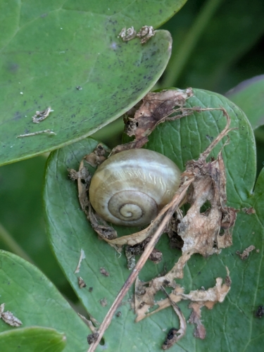
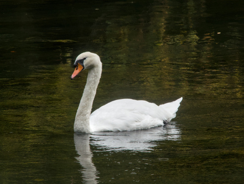
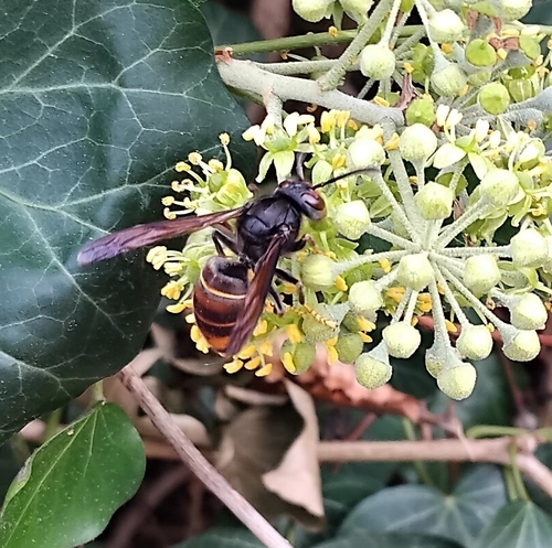
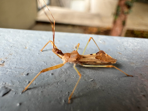

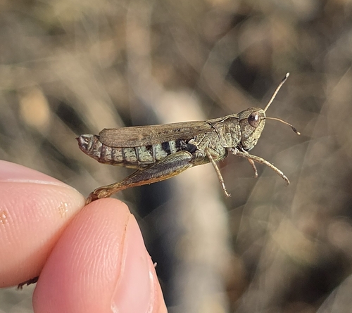
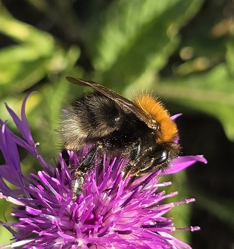
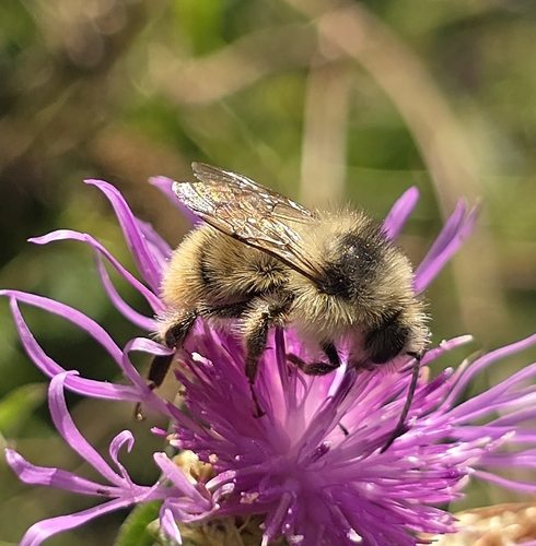
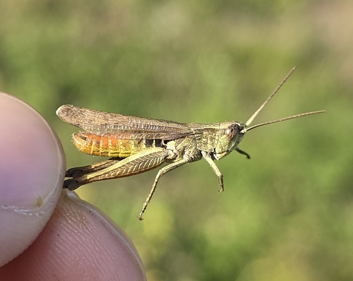
Research-grade observations from iNaturalist (within ~15 mi).
Events
Notable, recurring, and historical events associated with Strasbourg, sourced from Wikidata.
- The Matrix Conference 2025Oct 15, 2025recurring event edition
- Iranian demonstrations in StrasbourgJan 16, 2023demonstration
Demonstration of Iranians against the IRGC in Strasbourg, France.
- Omplim EstrasburgJul 2, 2019demonstration
- Jul 29, 2001
- Strasbullesfestival
- Nazi secret meeting in Strasbourg 1944Aug 10, 1944planned event
- 1920 International Congress of MathematiciansSep 22, 1920planned event
6th International Congress of Mathematicians
- Q2809638Jan 1, 1920recurring event edition
- Q133091917Sep 25, 1899recurring event edition
Source: Wikidata (CC0).
Gallery
Geotagged photos within ~6 miles of Strasbourg, from Wikimedia Commons contributors.


.jpg)


.jpg)
.jpg)
.jpg)
.jpg)

Photos via Wikimedia Commons — see each image page for license & attribution.
Official Identifiers
INSEE — French National Institute of Statistics
- INSEE code
- 67482
- Department
- 67
- Region
- 44
- Population (Wikidata)
- 293,771
geo.api.gouv.fr
Sources
- • Wikipedia
- • Wikimedia Commons
- • Wikidata
- • Open-Meteo Air Quality (CAMS)
- • USGS Earthquake Catalog (global feed)
- • GBIF (Global Biodiversity Information Facility)
- • iNaturalist
- • Open-Elevation
- • Open-Meteo / sunrise-sunset.org
- • Wikipedia Pageviews API
- • Open Library
- • Wikidata SPARQL (CC0) — population, area, elevation, inception, head of government, Commons image
- • INSEE — French national statistics, via geo.api.gouv.fr (official commune code, population, surface, department, region)
- • INSEE — French National Institute of Statistics — geo.api.gouv.fr