Browse / France / Île-de-France / Suresnes
Suresnes
Île-de-Francetown

Suresnes
Total population
49,104
Demographic figures from INSEE. Overview below cites Wikipedia and may reference a different year.
City facts
Sister cities
Facts from Wikidata (CC0).
Overview
Suresnes is a commune in Hauts-de-Seine, in the western inner suburbs of Paris, located 9.3 km (5.8 mi) from the centre of Paris. As of 2023, the population of the commune was 48,956.
Read more on WikipediaHistory & geography
History
Fort Mont-Valérien (along with its Mémorial de la France combattante) is situated in the commune, as is Suresnes American Cemetery and Memorial. Suresnes has an elegant view of Paris and the Eiffel Tower, as does neighbouring Saint-Cloud. Robert Ormond Maugham, the father of W. Somerset Maugham, built a "country house" in Suresnes around 1883. The house, which still exists at 5 Rue Worth, was described by R.O. Maugham's grandson, Robin Maugham, as being, "very odd indeed – half Swiss chalet and half Japanese, with a projecting roof, stucco walls, and wooden supports for the little balconies." The Hôtel de Ville was completed in 1889. In 1974 the Spanish Socialist Workers Party held its 26th Congress in Suresnes (it was illegal in Spain under Franco). Felipe González was elected Secretary General, replacing Rodolfo Llopis Ferrándiz. González was from the "reform" wing of the party, and his victory signaled a defeat for the historic and veteran wing of the Party. The direction of the party shifted from the exiles to the young people in Spain who had not fought in the Spanish Civil War. File:Salle des fêtes Suresnes 1.jpg|Salle des fêtes File:Résidence rue Gardenat-Lapostol Suresnes 1.jpg|Town centre File:Le Mont Valérien en contre plongée.jpg|Mémorial de la France combattante, featuring a Cross of Lorraine File:Mairie de Suresnes, tour Eiffel 2.jpg|A view of Paris from Lower Suresnes (Bas de Suresnes) File:Maison de la vigne - panoramio.jpg|A view of Paris from Upper Suresnes (Hauts de Suresnes)
Excerpted from the corresponding Wikipedia article (CC BY-SA).
Geography
Coordinates & boundaries from the US Census TIGER/Line shapefiles.
Climate
Air quality
Walkability
Amenities nearby
Wildlife & biodiversity
Earthquake history
Photos
Sights & places nearby
Notable people from here
Nearby places in Île-de-France
- Nanterre1.7 mi away · pop. 97,351
- Neuilly-sur-Seine2.2 mi away · pop. 59,267
- Courbevoie2.2 mi away · pop. 81,516
- Bois-Colombes3.6 mi away · pop. 29,765
- Vaucresson3.8 mi away · pop. 8,566
- Bougival4 mi away · pop. 9,031
- Houilles4 mi away · pop. 33,449
- Malakoff4.9 mi away · pop. 30,292
- Le Chesnay-Rocquencourt5.5 mi away · pop. 31,057
- Montrouge5.6 mi away · pop. 47,657
- Paris5.7 mi away · pop. 2,133,111
- Châtillon5.7 mi away · pop. 36,777
Geography & sun
Nearby airports
Public attention
Books about this place
Recent natural events nearby
Ground air-quality sensors
Recently spotted species
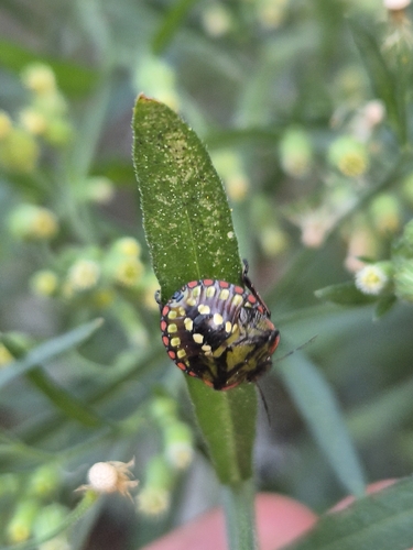
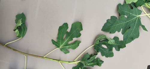
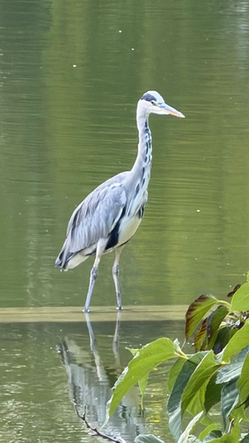
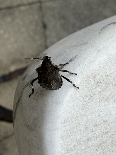
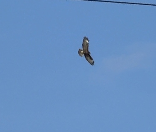
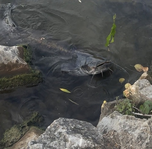
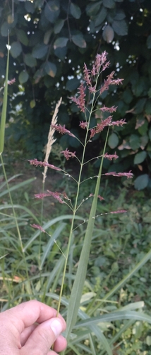
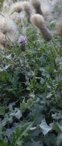
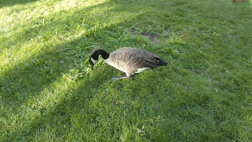
Research-grade observations from iNaturalist (within ~15 mi).
Events
Gallery
Official Identifiers
INSEE — French National Institute of Statistics
- INSEE code
- 92073
- Department
- 92
- Region
- 11
- Population (Wikidata)
- 48,956
geo.api.gouv.fr
Sources
- • Wikipedia
- • Wikidata
- • iNaturalist
- • Wikidata SPARQL (CC0) — population, area, elevation, inception, head of government, Commons image
- • INSEE — French national statistics, via geo.api.gouv.fr (official commune code, population, surface, department, region)
- • INSEE — French National Institute of Statistics — geo.api.gouv.fr