Browse / France / Provence-Alpes-Côte d'Azur / Thoard
Thoard
Provence-Alpes-Côte d'Azurvillage

Featured view
Thoard
Total population
733
Coordinates44.15°, 6.15°
Demographic figures from INSEE. Overview below cites Wikipedia and may reference a different year.
Loading additional data from public sources…0 / 11
CensusWikipediaWeatherPlacesPeopleEnvironmentHealth & SchoolsRelatedGeography & CultureLive MonitoringEvents & Gallery
0% completeCity facts
Overview
Thoard is a commune in the Alpes-de-Haute-Provence department in southeastern France.
Read more on WikipediaHistory & geography
Geography
Latitude
44.1498
Longitude
6.1479
Water area
—
Coordinates & boundaries from the US Census TIGER/Line shapefiles.
Climate
Air quality
Walkability
Amenities nearby
Wildlife & biodiversity
Earthquake history
Photos
Sights & places nearby
Notable people from here

Pierre Gassendi
French philosopher, astronomer, mathematician, priest, and scientist (*1592 – †1655)
A
Alain Boghossian
French footballer (born 1970)
H
Hugh of Digne
French writer
A
Alexandre Arnoux
French writer (1884–1973)

Jean-Yves Royer
French writer

Tristan Louis
French writer

Alphonse Beau de Rochas
French engineer (1815–1893)
D
Douceline of Digne
13th-century Provençal saint
F
François de Baschi
French diplomat
G
Gabrielle Traxler
Austrian politician (1942-2015)
L
Louis Richeome
French philosopher

Maxime Lombard
French actor
F
Francis of Mayrone
French philosopher
C
Christian Chessel
French Catholic priest

Cyril Féraud
French journalist

Césaire Léon Amaudric du Chaffaut
French politician (1822-1884)
People born within ~10 km, from Wikidata (CC0). Click any name for their Wikipedia article.
Nearby places in Provence-Alpes-Côte d'Azur
- Les Bourres1.2 mi away
- Saint-Estève2.1 mi away
- Le Castellard-Mélan2.9 mi away · pop. 61
- L'Escale7.6 mi away · pop. 1,377
- Le Chaffaut-Saint-Jurson7.7 mi away · pop. 691
- Château-Arnoux-Saint-Auban7.9 mi away · pop. 5,082
- Le Brusquet8 mi away · pop. 968
- Saint-Geniez8.1 mi away · pop. 107
- La Grande Bastide8.3 mi away
- Malijai9.3 mi away · pop. 2,002
- Archail9.4 mi away · pop. 14
- Peipin9.5 mi away · pop. 1,480
Geography & sun
Avg solar (kWh/m²/day)
4.08
Annual solar (kWh/m²)
1,490
Elevation, sunrise/sunset and daylight from Open-Meteo. Solar climatology from NASA POWER.
Nearby airports
Public attention
Wikipedia views (last 30 days)
69
Avg daily Wikipedia views
2
Attention level
Obscure
Pageview totals from the Wikimedia Pageviews API.
Books about this place
Recent natural events nearby
Ground air-quality sensors
Recently spotted species
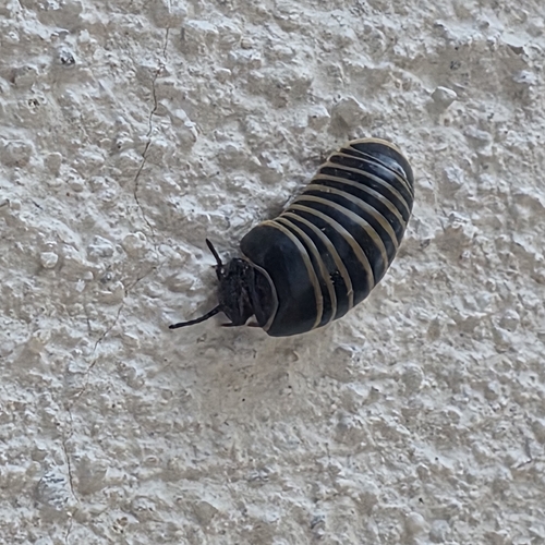
Common Pill Millipede
Glomeris marginata
Seen 2026-10-22
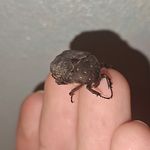
Speckled Rose Chafer
Protaetia morio
Seen 2026-10-20
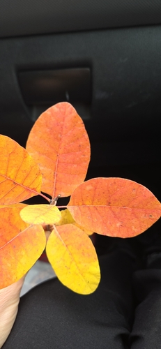
Smokebush
Cotinus coggygria
Seen 2026-10-18
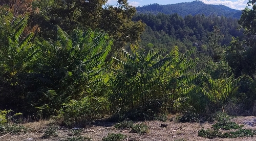
tree-of-heaven
Ailanthus altissima
Seen 2026-10-17
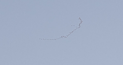
Common Crane
Grus grus
Seen 2026-10-16
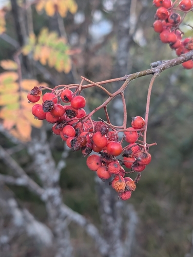
European mountain ash
Sorbus aucuparia
Seen 2026-10-16
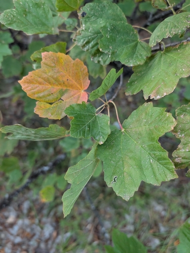
Italian maple
Acer opalus
Seen 2026-10-16
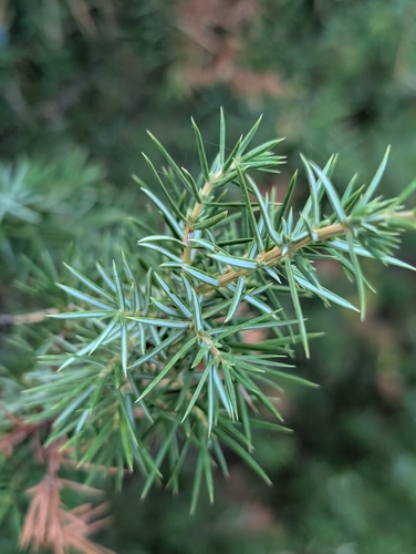
common juniper
Juniperus communis
Seen 2026-10-16
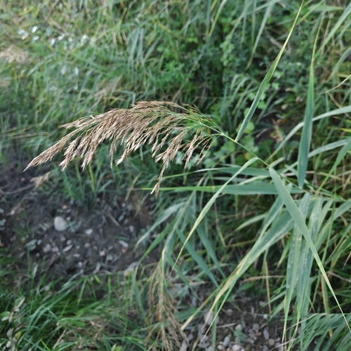
common reed
Phragmites australis
Seen 2026-10-16
Research-grade observations from iNaturalist (within ~15 mi).
Events
Gallery
Official Identifiers
INSEE — French National Institute of Statistics
- INSEE code
- 04217
- Department
- 04
- Region
- 93
- Population (Wikidata)
- 744
geo.api.gouv.fr
Sources
- • Wikipedia
- • Wikidata
- • iNaturalist
- • Open-Meteo / sunrise-sunset.org
- • Wikipedia Pageviews API
- • INSEE — French national statistics, via geo.api.gouv.fr (official commune code, population, surface, department, region)
- • INSEE — French National Institute of Statistics — geo.api.gouv.fr