Browse / France / Provence-Alpes-Côte d'Azur / Archail
Archail
Provence-Alpes-Côte d'Azurvillage

Archail
Total population
14
Demographic figures from INSEE. Overview below cites Wikipedia and may reference a different year.
City facts
Facts from Wikidata (CC0).
Overview
Archail is a commune in the Alpes-de-Haute-Provence department in the Provence-Alpes-Côte d'Azur region of south-eastern France.
Read more on WikipediaHistory & geography
History
In Antiquity the Bodiontiques (Bodiontici) inhabited the Bléone valley and so were the Gallic people who lived in what is now the commune of Archail. The Bodiontiques were defeated by Augustus at the same time as the other people present on the Tropaeum Alpium (before 14 BC) and were attached to the province of Alpes-Maritimes during its creation. According to Daniel Thiery, the community was reported in the Polyptych of Wadalde (Bishop of Marseille) in 814 under the name Argario. The community of Archail was under the Viguerie of Digne. In 1193 the lordship of Archail (Argal) was given by the two lords of Saint-Julien to the Chapter of Digne. The lordship was divided between the Bishops of Digne and the Chapter of Digne before the French Revolution. These new lords strengthened their new possession and collected the population in a central location. As with many of the communes in the department, Archail had a school well before the Jules Ferry laws: in 1863 it already had a school that provided primary education for boys in the main town. No instruction was given to girls: neither the Falloux Laws (1851), which required the opening of a girls' school in communes with more than 800 inhabitants, nor the first Duruy Law (1867), which lowered the threshold to 500 inhabitants, related to Archail and it was only through the Ferry laws that Archail girls were able to regularly study. Between 1973 and 1979 the commune was merged with Draix under the name Archail-Draix.
Geography
Archail is located some 8 km north-east of Digne and some 5 km south of Le Brusquet. By road from Digne it is 14 km by a winding mountain road. The village is located in a wooded basin at an altitude of 920m. Much of the commune consists of rounded hills of eroded black marl. The Pic de Couar (1,988m) is spectacular as is the Pas d'Archail (1,667m). The Ravine and Torrent of l'Areste is in the south in the hills. A vast number of streams rise in the commune including: The Bouinenc (14 kilometres long), the Sauzeries Ravine (9 km long), the Mouiroués Ravine (8 km long), and its tributary, the Escure Stream (5.7 km long). These all flow north to join the Bouinenc which continues west to join the Bléone. None of the 200 communes of the department is in a no seismic risk zone. The area to which Archail belongs is in Zone 1b (low risk) according to the deterministic classification of 1991 and based on its seismic history. The Canton is in Zone 4 (medium risk) according to the probabilistic classification EC8 2011. The commune of Archail is also exposed to two other natural hazards: forest fire and landslide.
Excerpted from the corresponding Wikipedia article (CC BY-SA).
Geography
Coordinates & boundaries from the US Census TIGER/Line shapefiles.
Climate
Air quality
Walkability
Amenities nearby
Wildlife & biodiversity
Earthquake history
Photos
Sights & places nearby
Notable people from here


People born within ~10 km, from Wikidata (CC0). Click any name for their Wikipedia article.
Nearby places in Provence-Alpes-Côte d'Azur
- Le Brusquet3 mi away · pop. 968
- Thorame-Basse8.5 mi away · pop. 216
- Prads-Haute-Bléone8.6 mi away · pop. 175
- Le Moustier9.3 mi away
- Saint-Estève9.6 mi away
- Saint-Jacques10.7 mi away · pop. 76
- Le Chaffaut-Saint-Jurson10.8 mi away · pop. 691
- Thorame-Haute11.1 mi away · pop. 246
- Le Castellard-Mélan11.3 mi away · pop. 61
- Le Coulet des Fourches11.3 mi away
- Auzet11.9 mi away · pop. 102
- Gévaudan12.3 mi away
Geography & sun
Nearby airports
Public attention
Books about this place
Recent natural events nearby
Ground air-quality sensors
Recently spotted species
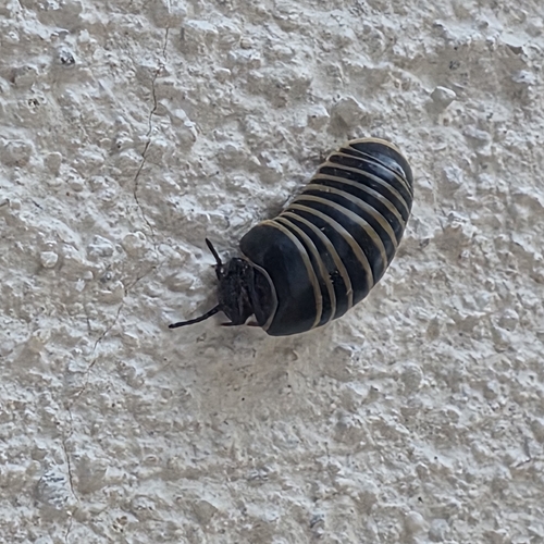
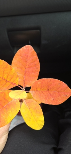
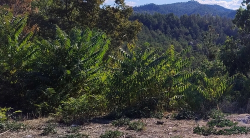
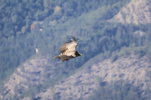
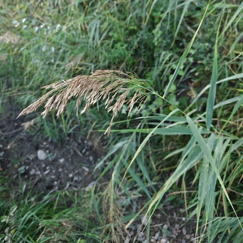
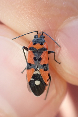
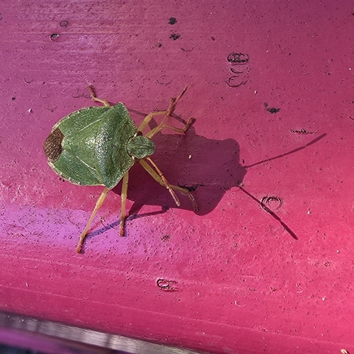
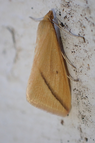
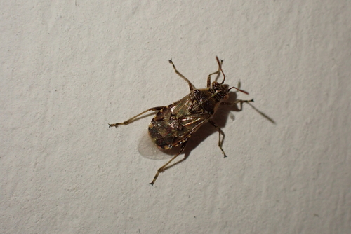
Research-grade observations from iNaturalist (within ~15 mi).
Events
Gallery
Official Identifiers
INSEE — French National Institute of Statistics
- INSEE code
- 04009
- Department
- 04
- Region
- 93
- Population (Wikidata)
- 14
geo.api.gouv.fr
Sources
- • Wikipedia
- • Wikidata
- • iNaturalist
- • INSEE — French national statistics, via geo.api.gouv.fr (official commune code, population, surface, department, region)
- • INSEE — French National Institute of Statistics — geo.api.gouv.fr