Browse / France / Centre-Val de Loire / Tours
Tours
Centre-Val de Loirecity

Tours
Total population
137,658
Air quality index
Demographic figures from INSEE. Overview below cites Wikipedia and may reference a different year.
City facts
Sister cities
Facts from Wikidata (CC0).
Overview
Tours is the largest city in the region of Centre-Val de Loire, France. It is the prefecture of the department of Indre-et-Loire. The commune of Tours had 138,668 inhabitants as of 2022 while the population of the whole metropolitan area was 526,370.
Read more on WikipediaHistory & geography
History
In Gallic times, Tours was an important crossing point over the Loire. It became part of the Roman Empire during the 1st century AD, and the city was named ("hill of Caesar"). The name evolved in the 4th century when the original Gallic name, Turones, became Civitas Turonum and then Tours. It was at this time that the Tours Amphitheatre was built. Tours became a metropolis in the Roman province of Lugdunum towards 380–388 AD, dominating Maine, Brittany, and the Loire Valley. One important figure in the city was Saint Martin of Tours, a bishop who shared his coat with a naked beggar in Amiens. The importance of Martin in the medieval Christian West made Tours, and its position on the route of pilgrimage to Santiago de Compostela, a major centre during the Middle Ages. In the 6th century, Gregory of Tours, author of the Ten Books of History, restored a cathedral destroyed by a fire in 561. Saint Martin's monastery benefited from its inception, at the very start of the 6th century from patronage and support from the Frankish king, Clovis I, which increased considerably the influence of the saint, the abbey and the city in Gaul. In the 9th century, Tours was at the heart of the Carolingian Renaissance, in particular because of Alcuin, of York in Northumbria, a renowned book collector and an abbot of Marmoutier Abbey. In 732, Abdul Rahman Al Ghafiqi and an army of Muslim horsemen from Al-Andalus advanced deep into France, and were stopped at the Battle of Tours at Moussais-la-Bataille (between Châtellerault and Poitiers) by Charles Martel and his infantry. The Muslim army was defeated, preventing an Islamic conquest of France. In 845, Tours repelled the first attack of the Viking chief Haesten. In 850, the Vikings settled at the mouths of the Seine and the Loire.…
Excerpted from the corresponding Wikipedia article (CC BY-SA).
Geography
Coordinates & boundaries from the US Census TIGER/Line shapefiles.
Climate
Air quality
Current readings from Open-Meteo Air Quality API (Copernicus CAMS European reanalysis).
Walkability
Amenities nearby
Wildlife & biodiversity
Most-observed species
- Eurasian BlackbirdTurdus merula Linnaeus, 1758 · Aves2,679
- European RobinErithacus rubecula (Linnaeus, 1758) · Aves2,632
- Great TitParus major Linnaeus, 1758 · Aves2,619
- Eurasian Blue TitCyanistes caeruleus (Linnaeus, 1758) · Aves2,455
- Common Wood-PigeonColumba palumbus Linnaeus, 1758 · Aves2,306
- Common ChaffinchFringilla coelebs Linnaeus, 1758 · Aves2,139
- House SparrowPasser domesticus (Linnaeus, 1758) · Aves1,967
- Eurasian MagpiePica pica (Linnaeus, 1758) · Aves1,734
Citizen-science & research observations from the Global Biodiversity Information Facility (GBIF).
Earthquake history
Most recent
- M 4 — 2019-06-212 km WSW of Vihiers, France
- M 4.2 — 2016-05-026 km SE of L'Île-Bouchard, France
- M 2.7 — 2008-11-0612 km W of Saint-Gervais-les-Trois-Clochers, France
- M 2.6 — 2008-11-054 km NNE of Mézières-en-Brenne, France
- M 2.5 — 2008-09-181 km W of Ambillou, France
- M 3 — 2008-06-073 km ENE of Cangey, France
Events from the USGS Earthquake Catalog (global) (FDSN Event Web Service).
Photos
Sights & places nearby
Notable people from here


People born within ~10 km, from Wikidata (CC0). Click any name for their Wikipedia article.
Nearby places in Centre-Val de Loire
- Saint-Genouph4.3 mi away · pop. 1,025
- Parçay-Meslay4.4 mi away · pop. 2,555
- Notre-Dame-d'Oé4.7 mi away · pop. 4,191
- Mettray4.7 mi away · pop. 2,062
- La Membrolle-sur-Choisille4.8 mi away · pop. 3,291
- Montbazon7.2 mi away · pop. 4,717
- Langennerie7.2 mi away
- Azay-sur-Cher7.9 mi away · pop. 3,080
- Esvres8.6 mi away · pop. 6,208
- Noizay9.8 mi away · pop. 1,125
- Saint-Branchs11.9 mi away · pop. 2,625
- Mazières-de-Touraine12.4 mi away · pop. 1,424
Geography & sun
Elevation, sunrise/sunset and daylight from Open-Meteo. Solar climatology from NASA POWER.
Nearby airports
Public attention
Pageview totals from the Wikimedia Pageviews API.
Books about Tours

Search results from Open Library.
Recent natural events nearby
Ground air-quality sensors
Recently spotted species
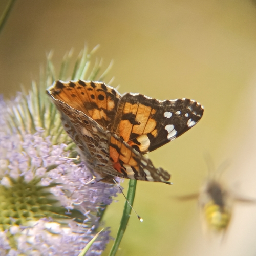
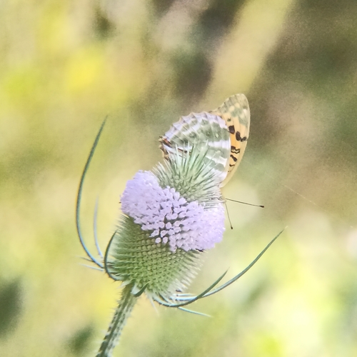
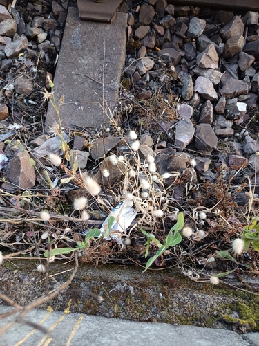
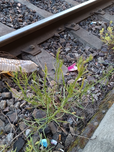
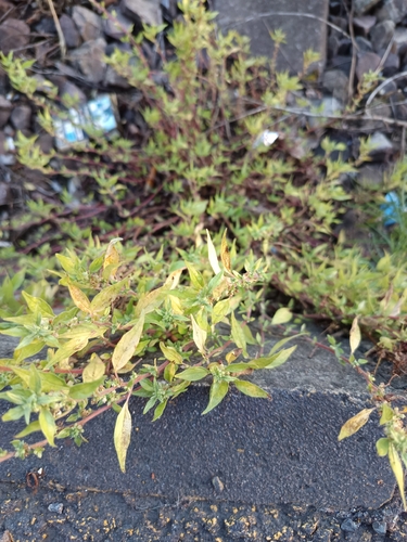
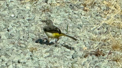
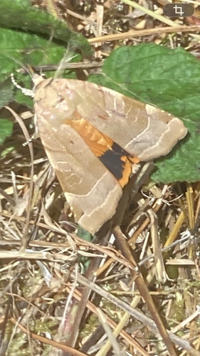
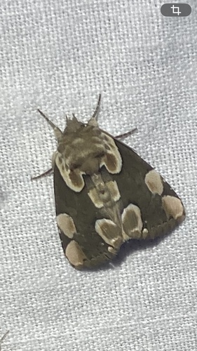
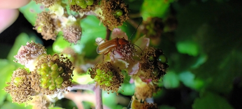
Research-grade observations from iNaturalist (within ~15 mi).
Events
Notable, recurring, and historical events associated with Tours, sourced from Wikidata.
- Third Congress of the International Association for Neo-Latin StudiesJan 1, 1976recurring event edition
- Q21009340Jun 13, 1940meeting
Source: Wikidata (CC0).
Gallery
Geotagged photos within ~6 miles of Tours, from Wikimedia Commons contributors.
.JPG)


_2014-08-20_16.08.51.jpg)


.jpg)
.jpg)

.jpg)
.jpg)
.jpg)


.jpg)
.jpg)

Photos via Wikimedia Commons — see each image page for license & attribution.
Official Identifiers
INSEE — French National Institute of Statistics
- INSEE code
- 37261
- Department
- 37
- Region
- 24
- Population (Wikidata)
- 139,259
geo.api.gouv.fr
Sources
- • Wikipedia
- • Wikimedia Commons
- • Wikidata
- • Open-Meteo Air Quality (CAMS)
- • USGS Earthquake Catalog (global feed)
- • GBIF (Global Biodiversity Information Facility)
- • iNaturalist
- • Open-Meteo / sunrise-sunset.org
- • Wikipedia Pageviews API
- • Open Library
- • Wikidata SPARQL (CC0) — population, area, elevation, inception, head of government, Commons image
- • INSEE — French national statistics, via geo.api.gouv.fr (official commune code, population, surface, department, region)
- • INSEE — French National Institute of Statistics — geo.api.gouv.fr