Browse / France / Île-de-France / Villepreux
Villepreux
Île-de-Francetown

Villepreux
Total population
11,150
Demographic figures from INSEE. Overview below cites Wikipedia and may reference a different year.
City facts
Overview
Villepreux is a commune in the Yvelines department in the Île-de-France in north-central France located about 12 km west of Versailles, in the plaine de Versailles, almost in line with the perspective of the Grand Canal.
Read more on WikipediaHistory & geography
Geography
The municipality, in low relief, is marked in the northern part of the depression of the valley ru Gally, and its tributaries, the ru de l'Oisemont and the ru de l'Arcy. The municipality is still largely rural. Urbanization is about 15% of the area, developed in the southern part, in the vicinity of Clayes-sous-Bois in the area served by railway services from Paris and Versailles. The commune is primarily a historical village established around a castle built by the Francini family which today belongs to the family of the counts of Saint-Seine. Further south, towards the SNCF train station, is the La Haie Bergerie quarter, a subdivision created by Jacques Riboud and his architect Roland Predieri -who later became the Mayor of Villepreux. Since the early 1960s terraced houses have since been rehabilitated by new generations of owners. Towards the west, is a new division called Trianon, near the Pointe-à-l'Ange area, with built-up quality buildings, pavilions, and lush fields on the edge of the municipality of Chavenay. This is also the Val Joyeux area, another subdivision of 400 houses, dating from the post-war period and small newer residential houses and apartments on the edge of the forest of Bois d'Arcy. The center has moved from the old village to the new neighborhoods. The town is crossed in its southeastern part (Val Joyeux) by the l'aqueduc de l'Avre.
Excerpted from the corresponding Wikipedia article (CC BY-SA).
Geography
Coordinates & boundaries from the US Census TIGER/Line shapefiles.
Climate
Air quality
Walkability
Amenities nearby
Wildlife & biodiversity
Most-observed species
- Great TitParus major Linnaeus, 1758 · Aves11,369
- Common Wood-PigeonColumba palumbus Linnaeus, 1758 · Aves10,321
- European RobinErithacus rubecula (Linnaeus, 1758) · Aves9,848
- Eurasian MagpiePica pica (Linnaeus, 1758) · Aves9,748
- Eurasian Blue TitCyanistes caeruleus (Linnaeus, 1758) · Aves9,626
- Carrion CrowCorvus corone Linnaeus, 1758 · Aves8,753
- Common ChaffinchFringilla coelebs Linnaeus, 1758 · Aves7,966
- Eurasian BlackbirdTurdus merula Linnaeus, 1758 · Aves7,635
Citizen-science & research observations from the Global Biodiversity Information Facility (GBIF).
Earthquake history
Most recent
- M 3.1 — 2005-06-013 km N of Grandvilliers, France
Events from the USGS Earthquake Catalog (global) (FDSN Event Web Service).
Photos
Sights & places nearby
Notable people from here


People born within ~10 km, from Wikidata (CC0). Click any name for their Wikipedia article.
Nearby places in Île-de-France
- Les Clayes-sous-Bois1.2 mi away · pop. 17,237
- Plaisir2.9 mi away · pop. 31,375
- Grignon3.1 mi away
- Feucherolles3.2 mi away · pop. 3,020
- Bailly3.4 mi away · pop. 3,650
- Aigremont5 mi away · pop. 1,083
- Le Chesnay-Rocquencourt5.2 mi away · pop. 31,057
- Versailles5.8 mi away · pop. 83,587
- Orgeval6.1 mi away · pop. 6,948
- Bougival6.3 mi away · pop. 9,031
- Poissy6.8 mi away · pop. 40,016
- Coignières6.9 mi away · pop. 4,377
Geography & sun
Elevation, sunrise/sunset and daylight from Open-Meteo. Solar climatology from NASA POWER.
Nearby airports
Public attention
Pageview totals from the Wikimedia Pageviews API.
Books about this place
Recent natural events nearby
Ground air-quality sensors
Recently spotted species
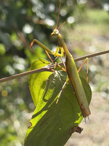
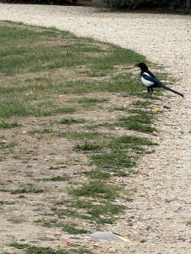
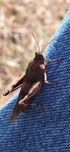
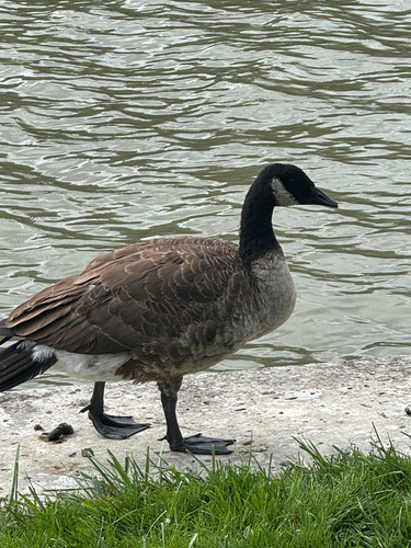
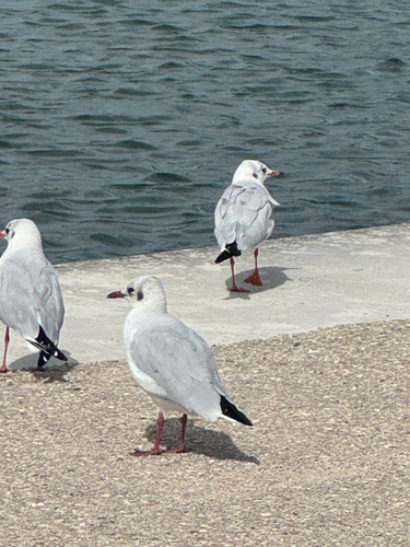
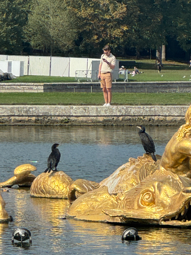
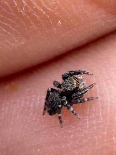
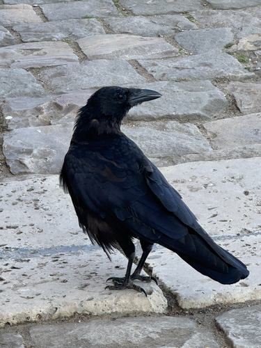
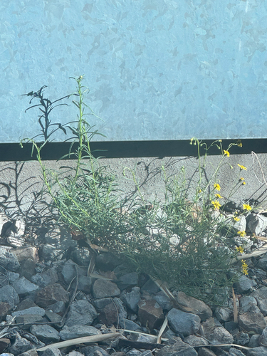
Research-grade observations from iNaturalist (within ~15 mi).
Events
Gallery
Official Identifiers
INSEE — French National Institute of Statistics
- INSEE code
- 78674
- Department
- 78
- Region
- 11
- Population (Wikidata)
- 11,931
geo.api.gouv.fr
Sources
- • Wikipedia
- • Wikidata
- • USGS Earthquake Catalog (global feed)
- • GBIF (Global Biodiversity Information Facility)
- • iNaturalist
- • Open-Elevation
- • Open-Meteo / sunrise-sunset.org
- • Wikipedia Pageviews API
- • Wikidata SPARQL (CC0) — population, area, elevation, inception, head of government, Commons image
- • INSEE — French national statistics, via geo.api.gouv.fr (official commune code, population, surface, department, region)
- • INSEE — French National Institute of Statistics — geo.api.gouv.fr