Browse / Greece / Western Macedonia / Platanorrevma
Platanorrevma
Western Macedoniavillage

Platanorrevma
Total population
1,004
Demographic figures from ELSTAT. Overview below cites Wikipedia and may reference a different year.
City facts
Overview
Platanorrevma is a village located alongside the Pierian Mountains and Polifytos artificial lake in Servia municipality, Kozani regional unit, in the Greek region of Macedonia. It was named Platanorevma because of the existence of plane trees and streams that cross the village.
Read more on WikipediaHistory & geography
Geography
Coordinates & boundaries from the US Census TIGER/Line shapefiles.
Climate
Air quality
Walkability
Amenities nearby
Wildlife & biodiversity
Most-observed species
- Hooded CrowCorvus cornix Linnaeus, 1758 · Aves133
- Eurasian MagpiePica pica (Linnaeus, 1758) · Aves106
- Eurasian BlackbirdTurdus merula Linnaeus, 1758 · Aves99
- Great Cormorant/European ShagPhalacrocorax carbo (Linnaeus, 1758) · Aves95
- Eurasian JayGarrulus glandarius (Linnaeus, 1758) · Aves85
- Eurasian Collared-DoveStreptopelia decaocto (Frivaldszky, 1838) · Aves84
- Rock PigeonColumba livia J.F.Gmelin, 1789 · Aves79
- Great TitParus major Linnaeus, 1758 · Aves79
Citizen-science & research observations from the Global Biodiversity Information Facility (GBIF).
Earthquake history
Most recent
- M 4.5 — 2025-11-243 km SW of Magoúla, Greece
- M 2.6 — 2023-05-133 km NW of Vergína, Greece
- M 4.3 — 2023-04-176 km SSE of Týrnavos, Greece
- M 4.6 — 2023-02-0122 km ENE of Leptokaryá, Greece
- M 4.6 — 2022-08-231 km WSW of Týrnavos, Greece
- M 4.4 — 2022-08-195 km S of Týrnavos, Greece
Events from the USGS Earthquake Catalog (global) (FDSN Event Web Service).
Photos
Sights & places nearby
Notable people from here


People born within ~10 km, from Wikidata (CC0). Click any name for their Wikipedia article.
Nearby places in Western Macedonia
- Kastania1.8 mi away · pop. 68
- Velvendos4.6 mi away · pop. 3,360
- Roditis6.5 mi away · pop. 263
- Imera6.5 mi away · pop. 156
- Vathylakkos6.9 mi away · pop. 615
- Agia Kyriaki7.4 mi away · pop. 14
- Sparto7.8 mi away · pop. 110
- Kesaria8.6 mi away · pop. 693
- Milia11.3 mi away · pop. 175
- Kapnochori11.3 mi away · pop. 300
- Θυμαριά11.4 mi away · pop. 280
- Krokos11.7 mi away · pop. 2,968
Geography & sun
Elevation, sunrise/sunset and daylight from Open-Meteo. Solar climatology from NASA POWER.
Nearby airports
Public attention
Books about this place
Recent natural events nearby
Ground air-quality sensors
Recently spotted species
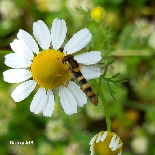

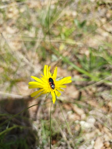
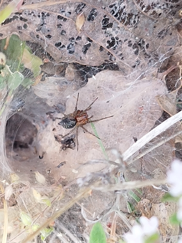
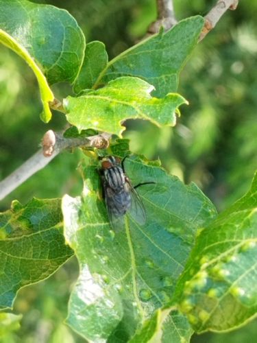
Research-grade observations from iNaturalist (within ~15 mi).
Events
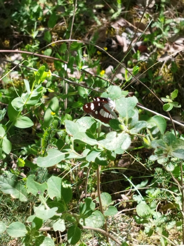
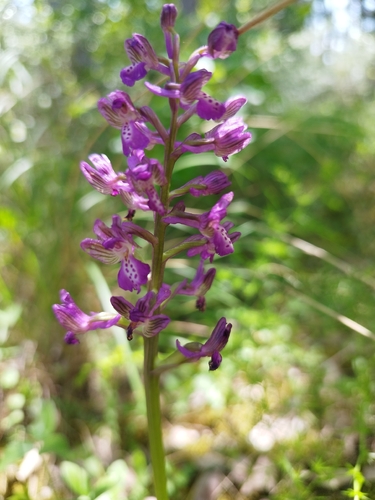
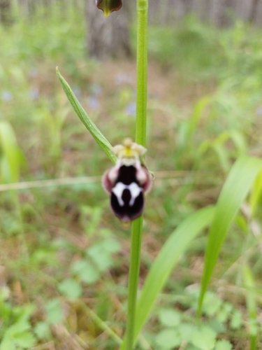
Gallery
Geotagged photos within ~6 miles of Platanorrevma, from Wikimedia Commons contributors.
 0.1 mi
 0.1 mi
 0.1 mi
 0.1 mi
 0.1 mi
 0.1 mi
 0.1 mi
 0.1 mi
 0.1 mi
 0.1 mi
 0.1 mi
 0.1 mi
.jpg) 0.1 mi
0.1 mi.jpg) 0.3 mi
0.3 mi.jpg) 0.3 mi
0.3 mi 0.4 mi
 1.1 mi
 1.2 mi
 1.2 mi
 1.2 mi
 1.2 mi
 1.2 mi
 1.2 mi
 1.2 mi
Photos via Wikimedia Commons — see each image page for license & attribution.
Official Identifiers
ELSTAT — Hellenic Statistical Authority
- ELSTAT code
- 1404011201
- Population (Wikidata)
- 864
- Wikidata
- Q12290827
ELSTAT geographical code via Wikidata P1116
Sources
- • Wikipedia
- • Wikimedia Commons
- • Wikidata
- • USGS Earthquake Catalog (global feed)
- • GBIF (Global Biodiversity Information Facility)
- • iNaturalist
- • Open-Meteo / sunrise-sunset.org
- • ELSTAT — Hellenic Statistical Authority — ELSTAT geographical code via Wikidata P1116