Browse / Croatia / Primorje-Gorski Kotar / Belo Selo
Belo Selo
Primorje-Gorski Kotarvillage
Total population
50
Demographic figures from Croatian Bureau of Statistics. Overview below cites Wikipedia and may reference a different year.
City facts
Facts from Wikidata (CC0).
Overview
Belo Selo is a village in Primorje-Gorski Kotar, western Croatia. It is located 2 km to the northeast of Fužine, which it is also a part of administratively. As of 2021, it had a population of 66. The village is connected by the A6 motorway.
Read more on WikipediaHistory & geography
History
From 31 January to 2 February 2014, while S and SW geostrophic wind dominated, freezing rain fell on Gorski Kotar, glazing the entire region. It wrecked roofs, power lines an forests, causing power loss for about 14,000 households in Gorski Kotar, or about 80% of its population. Because of power lines falling on the A6, the highway was closed in of Rijeka between Bosiljevo and Kikovica, and between Kikovica and Delnice in the direction of Zagreb. It took about 10 days to restore essential infrastructure to the region, and within months electricity was back in most of its former range, but at a cost of about 84.4 million HRK to HEP. At the time it was the largest peacetime damage since its Secession from Yugoslavia, even without counting the forestry losses. Clearing blocked forestry roads and forest paths would take years, and thanks to the declining population some were never cleared. On 11 December 2017, severe wind damaged roofs and closed roads in the region, after which a 33-year-old man in Belo Selo climbed a ladder to repair their roof, only for a gust of wind to knock him from the ladder. The fall was fatal.
Excerpted from the corresponding Wikipedia article (CC BY-SA).
Geography
Coordinates & boundaries from the US Census TIGER/Line shapefiles.
Climate
Air quality
Walkability
Amenities nearby
Wildlife & biodiversity
Earthquake history
Photos
Sights & places nearby
Notable people from here


People born within ~10 km, from Wikidata (CC0). Click any name for their Wikipedia article.
Nearby places in Primorje-Gorski Kotar
- Homer2.4 mi away · pop. 272
- Benkovac Fužinski3 mi away · pop. 33
- Mrzla Vodica4.7 mi away · pop. 16
- Mrkopalj5.7 mi away · pop. 755
- Crni Lug6.5 mi away · pop. 253
- Bela Vodica6.7 mi away · pop. 24
- Tuk Mrkopaljski6.8 mi away · pop. 1
- Tuk Vojni7.2 mi away · pop. 28
- Malo Selo7.3 mi away · pop. 62
- Marija Trošt7.3 mi away · pop. 46
- Drivenik7.4 mi away · pop. 308
- Veli Dol7.6 mi away · pop. 195
Geography & sun
Elevation, sunrise/sunset and daylight from Open-Meteo. Solar climatology from NASA POWER.
Nearby airports
Public attention
Pageview totals from the Wikimedia Pageviews API.
Books about this place
Recent natural events nearby
Ground air-quality sensors
Recently spotted species
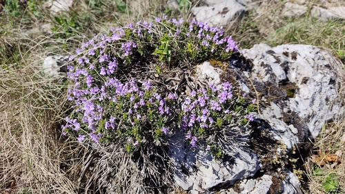
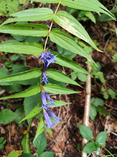
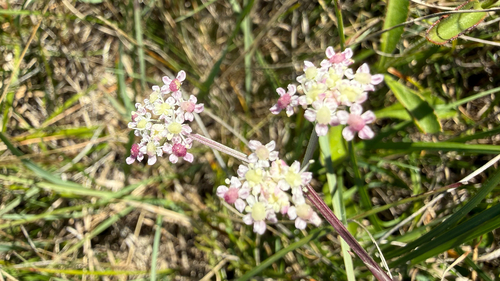
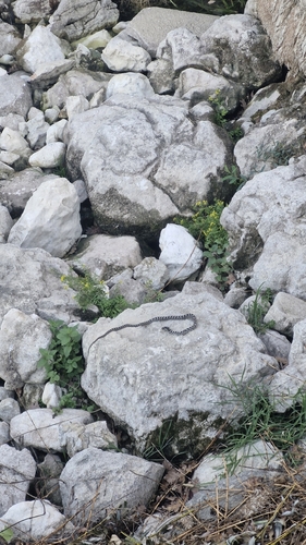
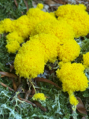
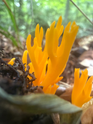

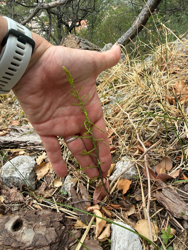
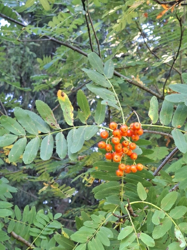
Research-grade observations from iNaturalist (within ~15 mi).
Events
Gallery
Sources
- • Wikipedia
- • Wikidata
- • iNaturalist
- • Open-Meteo / sunrise-sunset.org
- • Wikipedia Pageviews API