Browse / Croatia / Primorje-Gorski Kotar / Brod na Kupi
Brod na Kupi
Primorje-Gorski Kotarvillage

Brod na Kupi
Total population
207
Demographic figures from Croatian Bureau of Statistics. Overview below cites Wikipedia and may reference a different year.
City facts
Facts from Wikidata (CC0).
Overview
Brod na Kupi is a village located 12 km north of Delnice, in the western part of Gorski Kotar in Croatia. A bridge connects it with Petrina in Slovenia. Its population is 207.
Read more on WikipediaHistory & geography
History
Brod na Kupi was first mentioned on 22 February 1481 in a document freeing the citizens of Grič from tariffs in Brod and elsewhere. On 4 June 1657, as part of a delimitation between the possessions of the Zrinski family in Brod and those of the Frankapan family in Severin, a document was drawn up before a committee in Moravičke Drage consisting of baron Planker oberhautmann of Karlovac on behalf of Juraj IV Frankapan and Juraj Sili kapetan dvoranski and vicekapetan of Žumberak and Boltizar Babonosić prefect of Ozalj on behalf of Petar Zrinski. Those who gave testimony about the boundary were Martin Goljak (80), Matija Šnepergar (80), Mihajlo Šepec (80), Petar Butina (85), Petar Abramović (85), Lovro Crnković (85), Juraj Šnepergar (88), Juraj Podnar (90), Matija Goljak (90), Jakov Goršet (90), Jakov Butina (90) and Martin Blažević who claimed to be a centenarian and helped build the Turanj tower in Gornje Moravice when ordered by brothers Juraj and Nikola Zrinski. It was recorded as Brod on the 1673 map of . The volunteer fire department DVD Brod na Kupi was founded on 2 April 1882, and is today part of the Požarno područje Gorski Kotar I. Its current commander is Milan Šokčević. In 1899, the notary of Brod, M. Pavelić, set out to excavate an easier path down to the source of the Kupa. In early August 1933, the local chapter of the HPS, PD "Hajdova hiša", was founded, with Matija Štimac as its temporary president. Already in November, its membership reached 28, and Antun Grgurić was elected president. Its founding members included the općinski načelnik, Mato Ofak, as well as Ivan Grčević,{{efn|The principal of the elementary school in Brod. They initially met in the Općinski Dom, and their first major project that year was to mark and clear the path to the source…
Excerpted from the corresponding Wikipedia article (CC BY-SA).
Geography
Coordinates & boundaries from the US Census TIGER/Line shapefiles.
Climate
Air quality
Walkability
Amenities nearby
Wildlife & biodiversity
Earthquake history
Photos
Sights & places nearby
Notable people from here
Nearby places in Primorje-Gorski Kotar
- Hlevci5.7 mi away · pop. 17
- Tići8.9 mi away · pop. 48
- Homer9.2 mi away · pop. 272
- Studena22.5 mi away · pop. 382
- Zarnevo625.6 mi away · pop. 1,300
- Azinhal1281.9 mi away · pop. 271
- Vaqueiros1290.3 mi away · pop. 58
- Cabanas de Tavira1293.8 mi away
- Santo Estêvão1299.4 mi away
- Moncarapacho1304.4 mi away · pop. 1,192
- Quelfes1306.9 mi away
- Querença1309.2 mi away · pop. 35
Geography & sun
Elevation, sunrise/sunset and daylight from Open-Meteo. Solar climatology from NASA POWER.
Nearby airports
Public attention
Pageview totals from the Wikimedia Pageviews API.
Books about this place
Recent natural events nearby
Ground air-quality sensors
Recently spotted species
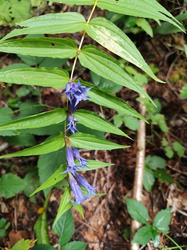
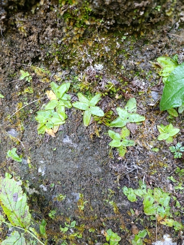
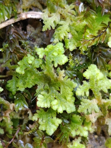
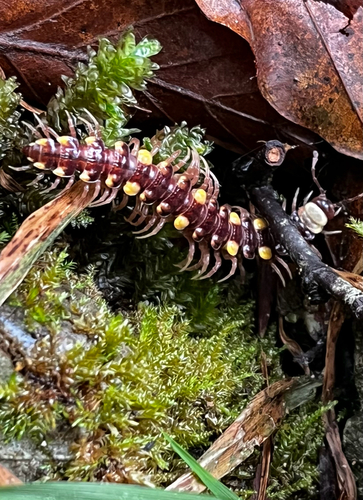
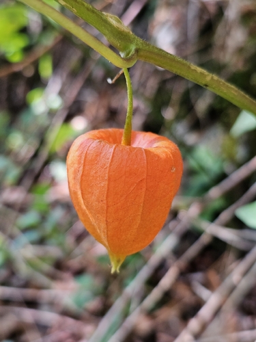
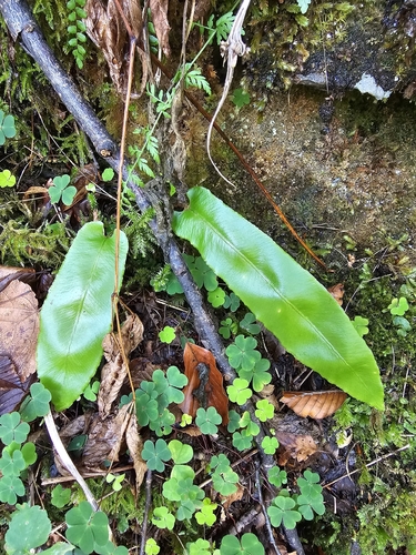
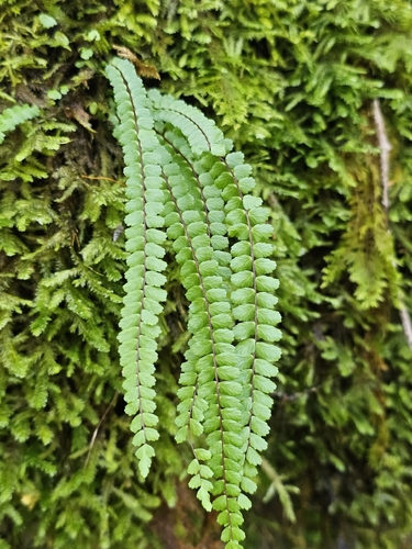
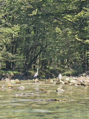
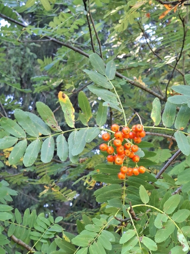
Research-grade observations from iNaturalist (within ~15 mi).
Events
Gallery
Sources
- • Wikipedia
- • Wikidata
- • iNaturalist
- • Open-Meteo / sunrise-sunset.org
- • Wikipedia Pageviews API