Browse / Croatia / Osijek-Baranja / Dalj
Dalj
Osijek-Baranjavillage

Dalj
Total population
2,877
Demographic figures from Croatian Bureau of Statistics. Overview below cites Wikipedia and may reference a different year.
City facts
Facts from Wikidata (CC0).
Overview
Dalj is a village on the Danube in eastern Croatia, near the confluence of the Drava and Danube, on the border with Serbia. It is located on the D519 road, south of its intersection with the D213 road and the Vukovar–Erdut railway.
Read more on WikipediaHistory & geography
History
One Scordisci archaeological site in Dalj dating back to late La Tène culture was excavated in the 1970s and 1980s as a part of rescue excavations in eastern Croatia. The archaeological site was a part of the settlement network of Scordisci in the area of Vinkovci. During the Croatian War of Independence, the village became the site of the Dalj massacre - killing of 39 prisoners of war in August 1991. The prisoners were Croatian policemen, Croatian National Guard troops and Civil defencemen and killed after the Yugoslav People's Army and Serbian paramilitaries captured Dalj on 1 August. Goran Hadžić, Croatian Serb political leader at the time, was charged with war crimes by the International Criminal Tribunal for the former Yugoslavia (ICTY) in relation to these atrocities. The ICTY also charged Hadžić with illegal detention of hundreds of civilians in Dalj police station and a hangar near village's railway station. The detainees were beaten and otherwise physically abused. After Hadžić was diagnosed with a terminal illness, his trial was discontinued in 2015. He died in July 2016.
Excerpted from the corresponding Wikipedia article (CC BY-SA).
Geography
Coordinates & boundaries from the US Census TIGER/Line shapefiles.
Climate
Air quality
Walkability
Amenities nearby
Wildlife & biodiversity
Earthquake history
Photos
Sights & places nearby
Notable people from here


People born within ~10 km, from Wikidata (CC0). Click any name for their Wikipedia article.
Nearby places in Osijek-Baranja
- Sarvaš7.7 mi away · pop. 1,658
- Brijest15.2 mi away · pop. 1,005
- Tvrđavica16 mi away · pop. 563
- Petrova Slatina17.1 mi away · pop. 150
- Šodolovci18.5 mi away · pop. 267
- Mirkovac19.7 mi away · pop. 64
- Vladislavci20.1 mi away · pop. 919
- Kneževi Vinogradi22 mi away · pop. 1,332
- Lipovac Hrastinski22.2 mi away · pop. 81
- Jagodnjak24.3 mi away · pop. 990
- Samatovci24.5 mi away · pop. 509
- Široko Polje25.8 mi away · pop. 799
Geography & sun
Elevation, sunrise/sunset and daylight from Open-Meteo. Solar climatology from NASA POWER.
Nearby airports
Public attention
Pageview totals from the Wikimedia Pageviews API.
Books about this place
Recent natural events nearby
Ground air-quality sensors
Recently spotted species
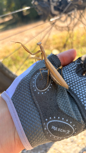
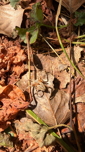
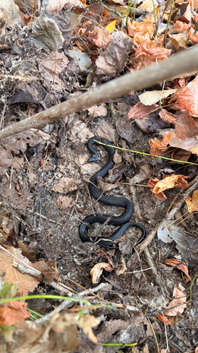
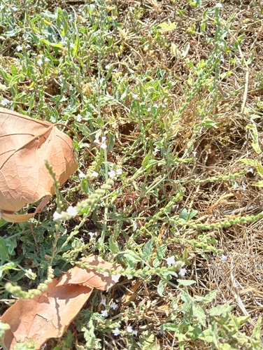
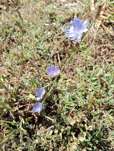
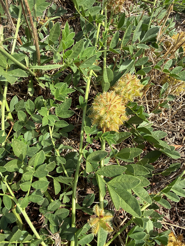
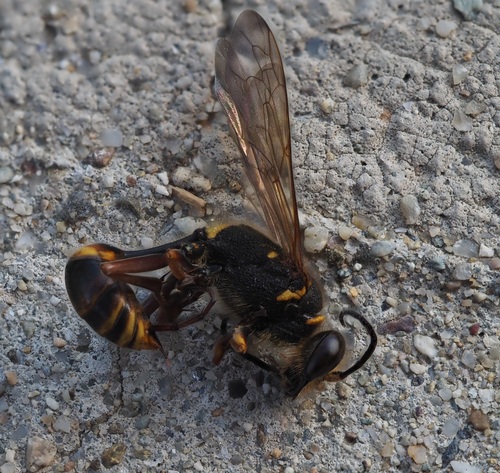
Research-grade observations from iNaturalist (within ~15 mi).
Events
Gallery
Sources
- • Wikipedia
- • Wikidata
- • iNaturalist
- • Open-Meteo / sunrise-sunset.org
- • Wikipedia Pageviews API