Browse / Croatia / Primorje-Gorski Kotar / Dokmanovići
Dokmanovići
Primorje-Gorski Kotarvillage

Dokmanovići
Total population
54
Demographic figures from Croatian Bureau of Statistics. Overview below cites Wikipedia and may reference a different year.
City facts
Facts from Wikidata (CC0).
Overview
Dokmanovići is a village in Croatia, under the Vrbovsko township, in Primorje-Gorski Kotar County. The Lujzijana road passes by it.
Read more on WikipediaHistory & geography
History
In 1860–1879, Matija Mažuranić wrote a 62 folio manuscript today titled Writings on the Building of Roads in Gorski Kotar and Lika (), today with signature HR-ZaNSK R 6424. A 21 folio manuscript dated 1872 titled Darstellung der Entstehung des Baues ... der Luisenstrasse togethr with a translation by I. Mikloušić is kept as HR-ZaNSK R 4572. In 1864, a rinderpest outbreak in Bosanci and Kasuni caused the Lujzijana to be closed to horned traffic for 21 days in December. An elementary school once functioned in Dokmanovići, now used for hosting events. Dokmanovići was hit by the 2014 Dinaric ice storm. On 12 December 2017, a severe wind hit Dokmanovići, blocking traffic to and from it. A Gavranović chain convenience store opened in Dokmanovići, broken into and robbed in November 2014 shortly after the robbery of the restaurant in Kamačnik, together with the Gavranović store in Severin na Kupi.
Excerpted from the corresponding Wikipedia article (CC BY-SA).
Geography
Coordinates & boundaries from the US Census TIGER/Line shapefiles.
Climate
Air quality
Walkability
Amenities nearby
Wildlife & biodiversity
Earthquake history
Photos
Sights & places nearby
Notable people from here


People born within ~10 km, from Wikidata (CC0). Click any name for their Wikipedia article.
Nearby places in Primorje-Gorski Kotar
- Tići1 mi away · pop. 48
- Hlevci5.3 mi away · pop. 17
- Homer15.3 mi away · pop. 272
- Studena30.8 mi away · pop. 382
- Zarnevo616.8 mi away · pop. 1,300
- Azinhal1289.2 mi away · pop. 271
- Vaqueiros1297.7 mi away · pop. 58
- Cabanas de Tavira1301.1 mi away
- Santo Estêvão1306.7 mi away
- Moncarapacho1311.7 mi away · pop. 1,192
- Quelfes1314.2 mi away
- Querença1316.6 mi away · pop. 35
Geography & sun
Elevation, sunrise/sunset and daylight from Open-Meteo. Solar climatology from NASA POWER.
Nearby airports
Public attention
Pageview totals from the Wikimedia Pageviews API.
Books about this place
Recent natural events nearby
Ground air-quality sensors
Recently spotted species
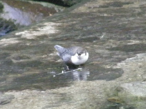
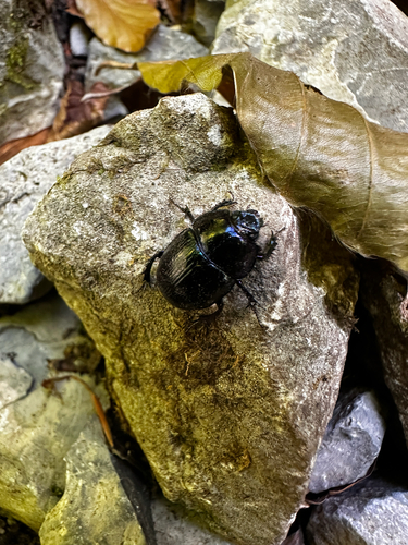
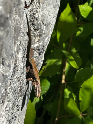
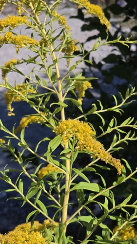
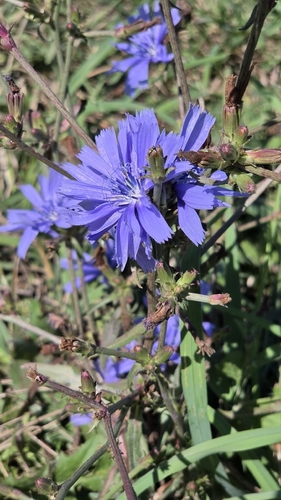
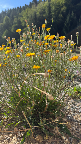
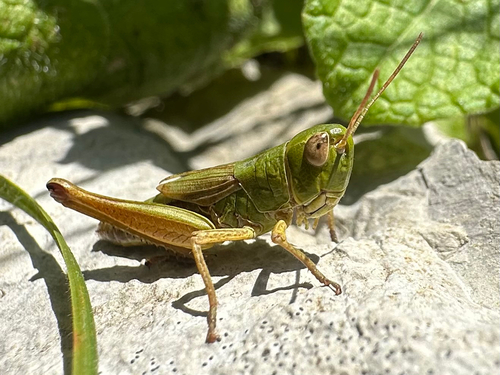
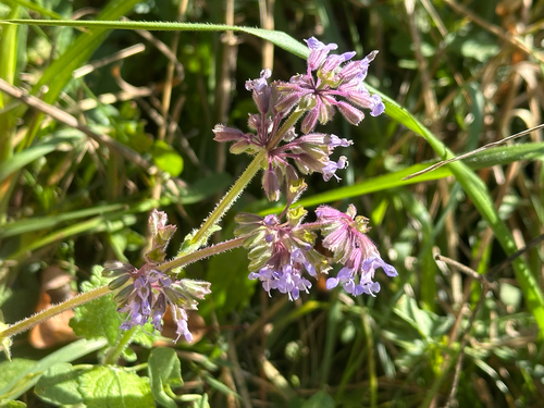
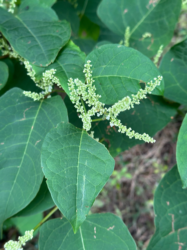
Research-grade observations from iNaturalist (within ~15 mi).
Events
Gallery
Sources
- • Wikipedia
- • Wikidata
- • iNaturalist
- • Open-Meteo / sunrise-sunset.org
- • Wikipedia Pageviews API