Browse / Croatia / Split-Dalmatia / Donji Humac
Donji Humac
Split-Dalmatiavillage

Donji Humac
Total population
157
Demographic figures from Croatian Bureau of Statistics. Overview below cites Wikipedia and may reference a different year.
City facts
Facts from Wikidata (CC0).
Overview
Donji Humac is one of the oldest settlements on the Croatian island of Brač, located on an inland hill. The top of the hill is marked by a widely visible Baroque bell-tower. The nearby Kopačina cave was inhabited more than 13,200 years ago. As of the 2011 census, Donji Humac has a population of 177 – far below its height at the beginning of the 20th century of more than 500 people, before several waves of emigration depopulated the settlement.
Read more on WikipediaHistory & geography
History
It is assumed that in the 11th century, Donji Humac was called Gomilje or Gomirje and had already been a settlement for a while. In 1080, a Brač person named Tišen bought from a Split aristocrat named Cassarias some houses and land in Gomilje. Gomilje lies on the western side of the Humac hill, just below Kis (from the Latin word ecclesia). A cloister and the oldest buildings of Donji Humac are expected to have been in Kis, close to the Smokvica pond. The name Humac is mentioned in sources for the first time in 1305. The settlers are supposed to have come from the area of Saint Elias and Banje to the west of Humac. The name Donji Humac (literally translated as "lower hillside") was only introduced later to differentiate it from Gornji Humac ("upper hillside"), which is on the eastern high plateau of Brač. Traditionally in Slavic culture, the east was associated with up and the west with down. In medieval times, most of the population of Brač lived inland, as the coast was too dangerous due to pirate and other attacks. During that time, the northwest of the island belonged to Donji Humac, including the settlements Sutivan and Mirca, both of which are larger than Donji Humac today. In the 20th century, the worsening economic situation in Donji Humac – first through the grape phylloxera louse, which destroyed several grape harvests and thus the wine production; later World War II and its aftermath – led to several waves of emigration. This has left Donji Humac today with only a third or quarter of the population of a century ago.
Excerpted from the corresponding Wikipedia article (CC BY-SA).
Geography
Coordinates & boundaries from the US Census TIGER/Line shapefiles.
Climate
Air quality
Walkability
Amenities nearby
Wildlife & biodiversity
Earthquake history
Photos
Sights & places nearby
Notable people from here
Nearby places in Split-Dalmatia
- Nerežišća1.1 mi away · pop. 616
- Dračevica1.5 mi away · pop. 89
- Mirca3.4 mi away · pop. 321
- Postira4.1 mi away · pop. 1,429
- Murvica5.5 mi away · pop. 21
- Pražnica7 mi away · pop. 371
- Dugi Rat8.2 mi away · pop. 3,442
- Jesenice8.4 mi away · pop. 2,089
- Gornji Humac8.6 mi away · pop. 271
- Pučišća8.6 mi away · pop. 1,529
- Mutogras8.8 mi away · pop. 394
- Sveti Martin9.3 mi away · pop. 991
Geography & sun
Elevation, sunrise/sunset and daylight from Open-Meteo. Solar climatology from NASA POWER.
Nearby airports
Public attention
Pageview totals from the Wikimedia Pageviews API.
Books about this place
Recent natural events nearby
Ground air-quality sensors
Recently spotted species
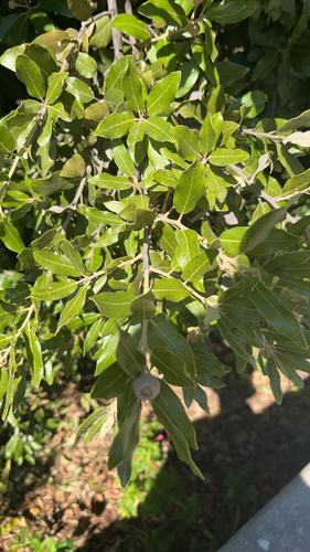
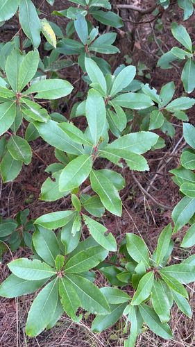
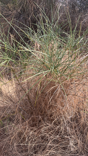
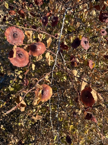
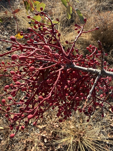
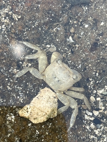
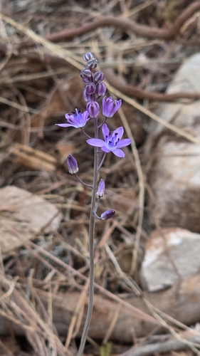
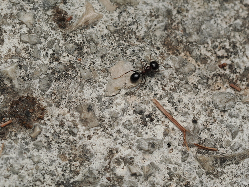
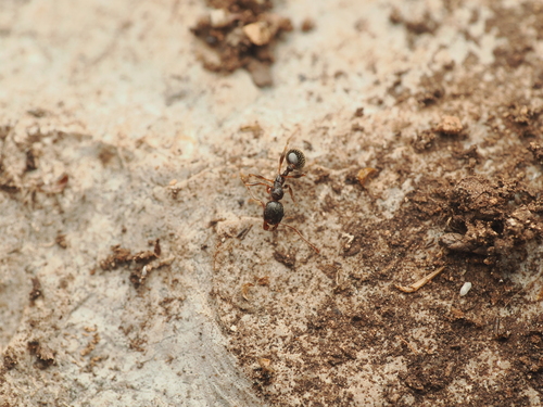
Research-grade observations from iNaturalist (within ~15 mi).
Events
Gallery
Sources
- • Wikipedia
- • Wikidata
- • iNaturalist
- • Open-Meteo / sunrise-sunset.org
- • Wikipedia Pageviews API